Location: Chiayi/Tainan/Kaohsiung
Distance: 170km Elevation Gain: 1,900m
Provincial Highway 3 is one of the longest roads in Taiwan and is 435km end to end. It starts in Taipei and ends in Pingtung. Also known as the Inner-Mountain Highway the road travels through mountainous towns in Western Taiwan. Doing the road from end to end is popular with ultra riders looking to complete it in 24 or 36 hours.
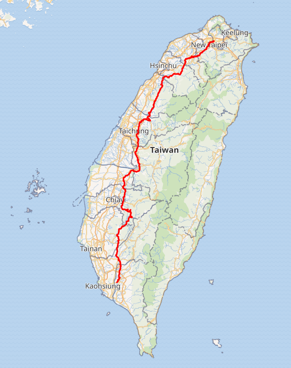
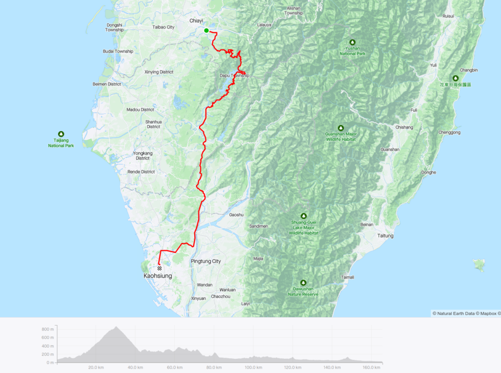
Anyone who has ridden this road will confirm that there are very few sections that are flat. Undulating for most of its length, but there is only one major climb on it which starts in Chiayi. This article covers a 110km section that passes through 3 counties, Chiayi, Tainan, and Kaohsiung.
The best way to approach the road is from Chiayi train station, from here it’s approximately 12km east on Provincial Highway No. 18 (Alishan Road – see ride #006 for information on this road). The No. 18 intersects with the No. 3 at the 25km marker which is the 293.5km marker on the No.3.
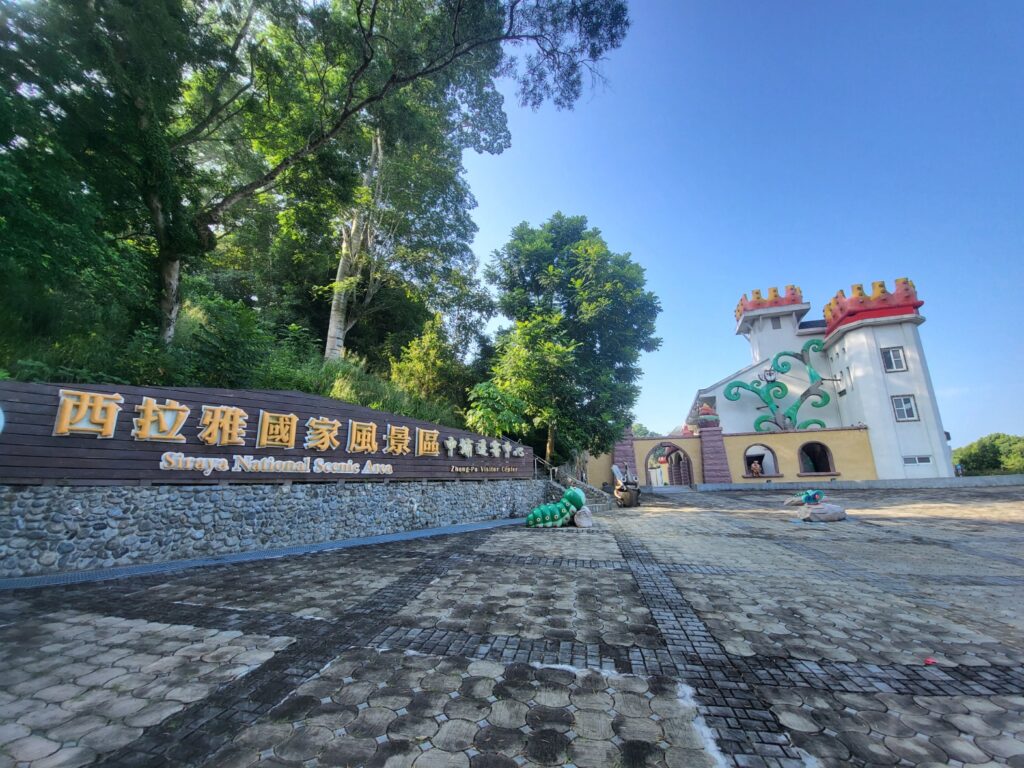
The gradient at this point is only 2 – 3 percent and the road is 4 lanes wide. The last 7-11 is at the 295km. There is also a visitor center for the Siraya National Scenic Area on the right.
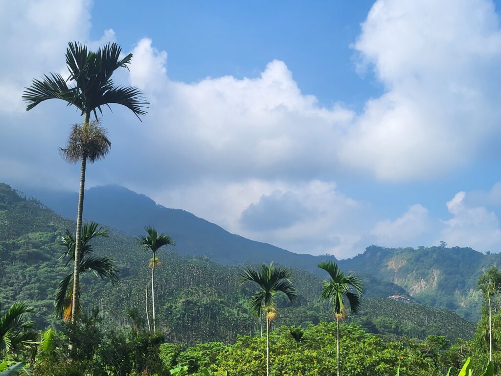
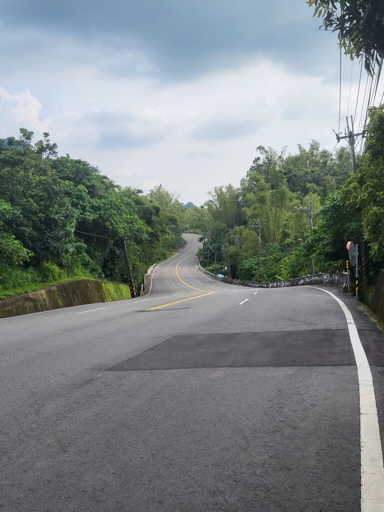
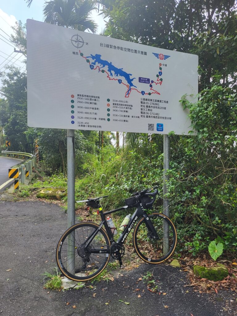
The major climb starts from here, the road narrows to two lanes and the elevation is only around 200m. This area is densely forested and much quieter. Over the next 18km, the gradient varies between 6 – 10% for 15kms to the top. The rider should be aware that this road is very popular with big bike riders on weekends, but during the week it is quiet.
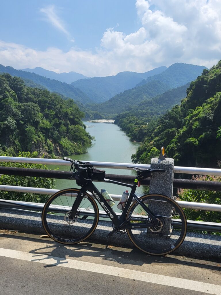
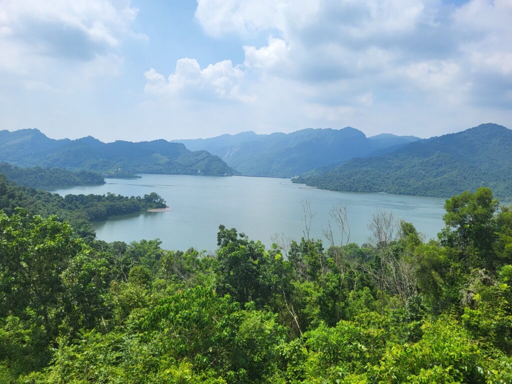
There are excellent views down to Chiayi as the road ascends. It is also evident that this is a major betel nut farming area. At the 212km marker, there is a small shop to pick up drinks, public toilets, and a viewing platform looking down on Zengwen Reservoir – the largest in the country.
The road tops out at the 313km marker at an elevation of just over 900m. From here it’s a really fast downhill to Dapu, the only town and 7 -11 on this section of the road at the 336km marker.
From here the first section of undulating climbs begins with lots of ups and downs over a 30km section until the rider descends to the town of Nanxi. (365km marker). There is a 15km flat section from here to Yujing town before the second lumpy section begins. Another 15km of ups and downs before the final descent to Qishan.
Qishan is a fairly major town with lots of accommodation and food options. If the rider continues to a transport hub Tainan is approximately 25km to the west and Kaohsiung 40 to the south.
Here is an interactive map: