Location: Chiayi City/Chiayi County
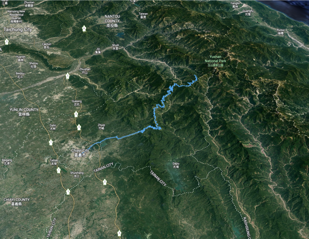
Distance: 97km Elevation Gain: 2,800m

Provincial Highway No. 18 (also known as ‘The New Central Cross-Island Highway or the Alishan Road’ starts at 0km in the center of Chiayi City – 10 to 15mins. ride from the train station. After the initial 10km through the urban and suburban areas, it rises gently at gradients of 1 – 2% for the first 30 km.

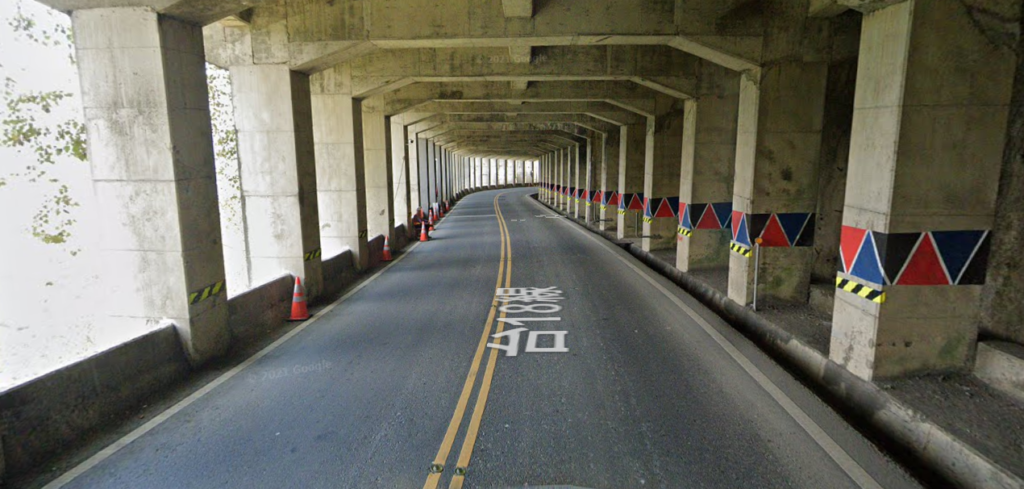
After this, a bridge is crossed with the large temple complex of Chukou on the left-hand side of the road. Up to this point, there is no shortage of convenience stores dotted along the way, but not much for the next 20km. It’s from here that the road rises dramatically like a shock to the system. Multiple hairpin turns of 10%+ gradients have to be negotiated.

The rider should also be aware that this is the main road leading to the very popular tourist spot of Alishan National Forest Recreation Area and to the trail of Jade Mt, Taiwan’s highest peak. As such it gets more traffic than any other mountain road in Taiwan and up to 100 tour buses will ferry tourists up it every weekend. Bearing this in mind it would be advisable to ride it very early in the morning if at the weekend or better still on a weekday.
In recent years more and more convenience stores have opened along the way, but the first major town with various choices of restaurants and guest houses is Shitzo at the 63km marker and at an elevation of 1,000m. This would be the ideal location for an overnight stay.
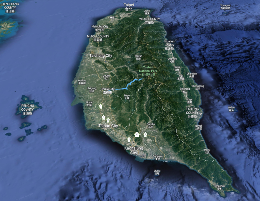
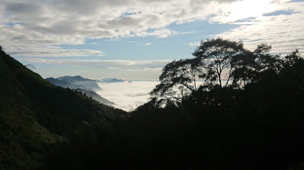
Alishan is, without doubt, the most famous location in Taiwan for tea and plantations stretch out as far as the eye can see on the surrounding mountainsides. Once past Shitzo the next major feature is Alishan park at the 88km marker on the road and some 2,000m above sea level. There is a 7 – 11 at the gate to the park and this is the last chance to pick up supplies.

The next section is the best part of the road, the traffic thins out and the gradient is a lot easier on the legs. The top of the climb is at the 109km marker at an elevation of 2,622m. As mentioned earlier this is the trailhead for Jade Mt. and a visitor center for the National Park is the only place to get refreshments.
On the way up there are three distinct downhill sections which add a few hundred meters to the total ascent. With Chaiyi City at an elevation of 2 – 300m by the time the rider reaches the top of the road, the total ascent will be close to 2,600m.
By lunchtime mountains, and areas such as this will become completely clouded and there will definitely be a temperature difference of 15 – 20C between the bottom and the top. A warm or rain layer is essential for the descent.
Here are the GPX and KML files.