Location: Taitung
Distance: 54km Elevation Gain: 2,500m
There are four Cross-Island Highways in Taiwan, three of which traverse the island from west to east, the fourth, ‘the New Central Cross-Island Highway, is a north-to-south traverse that skirts the Central Mountain Range.

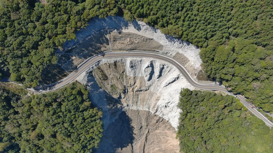
Of the four it could well be argued that the South Cross-Island Highway (Provincial Highway No. 20) is the best for its variety of scenery, low volume of traffic on the east approach, and road surface quality. Unfortunately, due to a catastrophic typhoon in 2009, a section of this road is closed to cyclists for the time being. The road only reopened to traffic in 2022 after thirteen years of reconstruction. It is hopeful that the 44km section at the top of the road will open to cyclists in the near future.
For our list of the ‘Top 100’ cycling roads in Taiwan, the South Cross east approach is listed as 003 to reflect the fact that it is 2,722m at the summit. (#004 covers the less-appealing west approach which involves more urban riding)
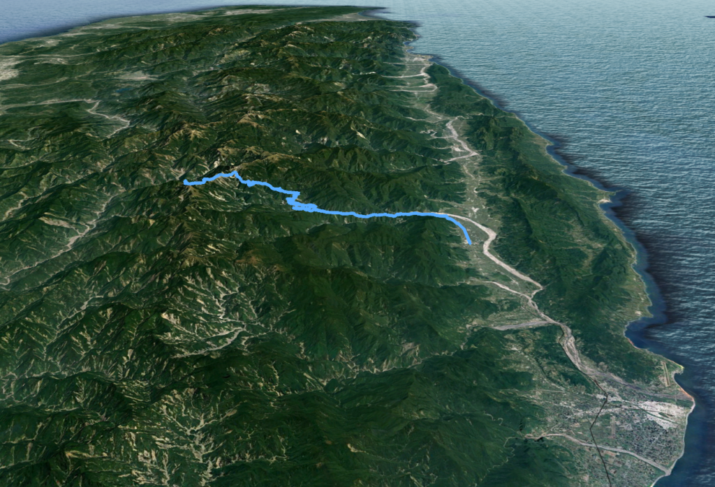
From end to end the road is 203km long starting at the 0km marker in Tainan City and ending at Haiduan in Taitung. The nearest train station is Guan Shan which is approx 5km south on Provincial Highway No. 9 from the endpoint of the No. 20.
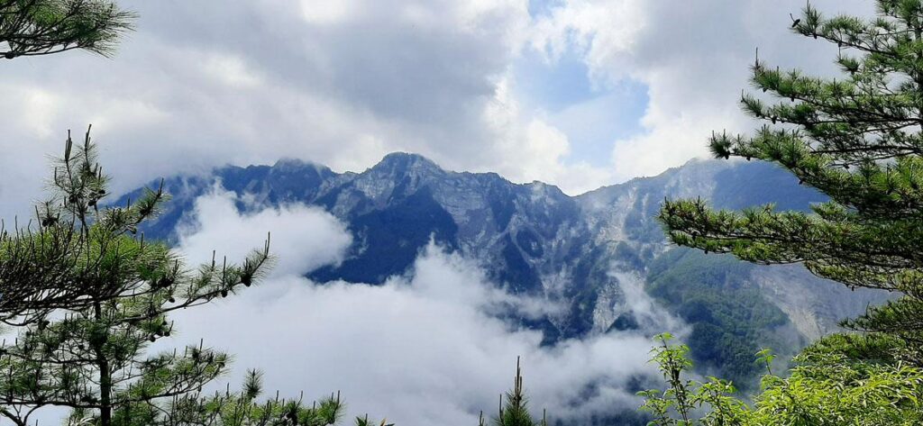
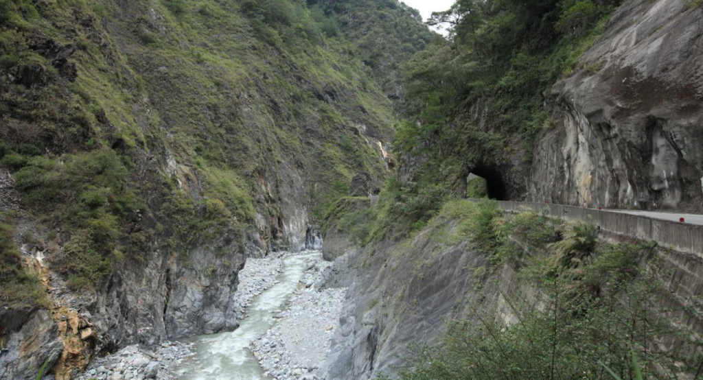
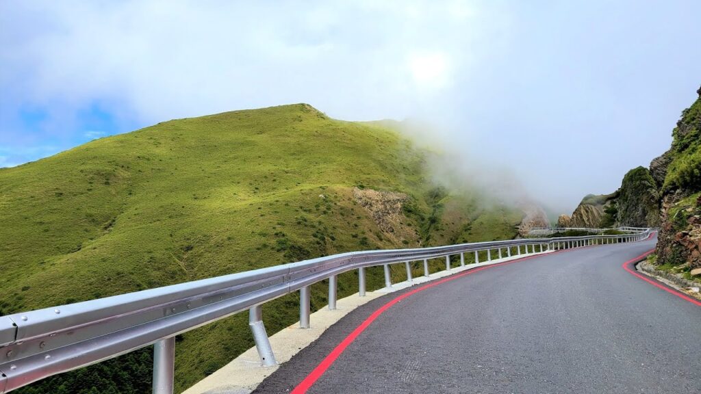
The ride starts in Chihshang Township, Taitung on Provincial Highway No.20. The first 10 – 15km is slightly undulating with very little ascent as the road traces the Xinwulu River. Beyond this point, the climbing begins as the rider enters Wulu Gorge. Not as impressive as the more famous Taroko Gorge, but that shouldn’t distract from the fact that the riding here is magical as the road winds upwards through tunnels carved from the rock.
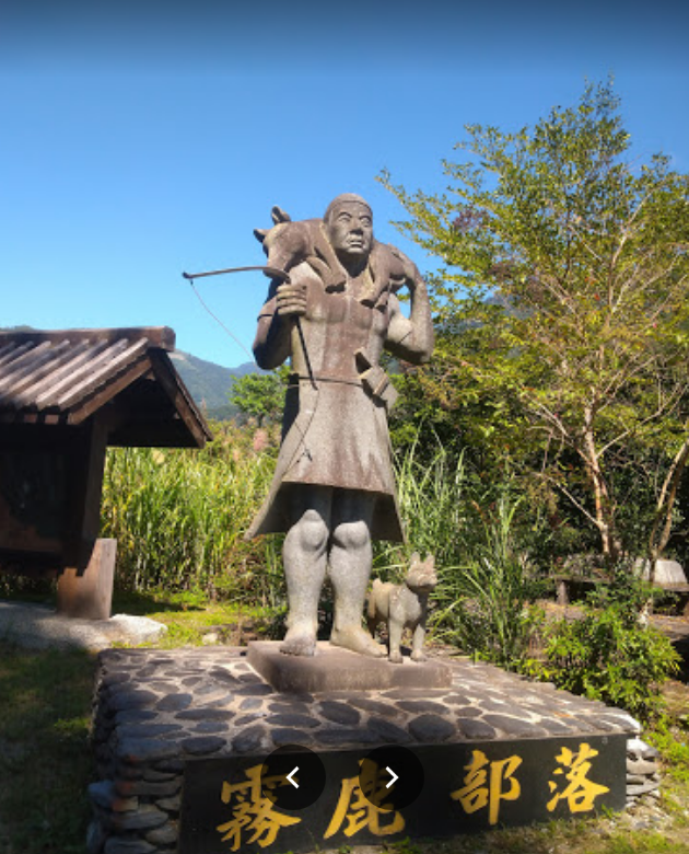
At the 184km marker cyclists will come to Wulu Village, (713m), this is the last place on the road proper to get a meal or pick up refreshments and from here it’s all up. If doing this as an overnight ride the next stop is Lidau Village just off the main road at the 171km marker. Located at 1,068m this Aborigine village with guest houses and a few small restaurants is well worth a stay.
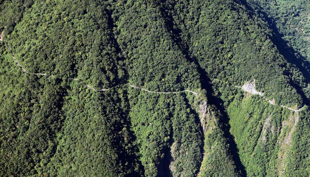
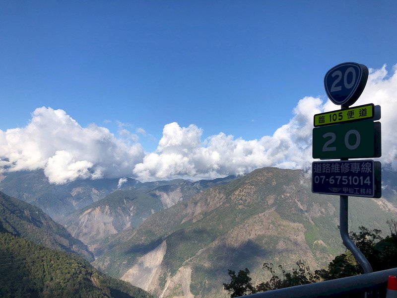
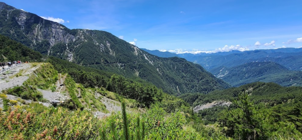
Over the next 20km, the rider will discover why some would consider this as one of the best roads in the country. Tea plantations are dotted on the hillsides before the Central Mountains of Taiwan come into view. The gradients of the climb are mostly in the single digits rarely going over 10%. At the 149km marker, the entrance to Xiangyang National Forest Recreation Area, (2,312m) is on the right-hand side of the road. This is, to date, as far as the rider can go unless you have a support car to take through the checkpoint for the 44km closed section of the road.
All those traveling on the road should be aware that it is only open at present from 7 am to 5 pm and closed to all traffic on Tuesday and Thursday.
The following article appeared in the Taipei Times in May 2022.
Here are the GPX and KML files.