Location: Kaohsiung
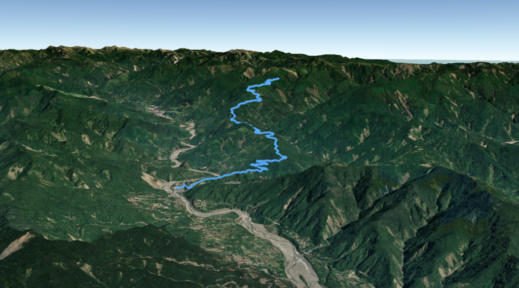
Distance: 29km Elevation Gain: 2,000m

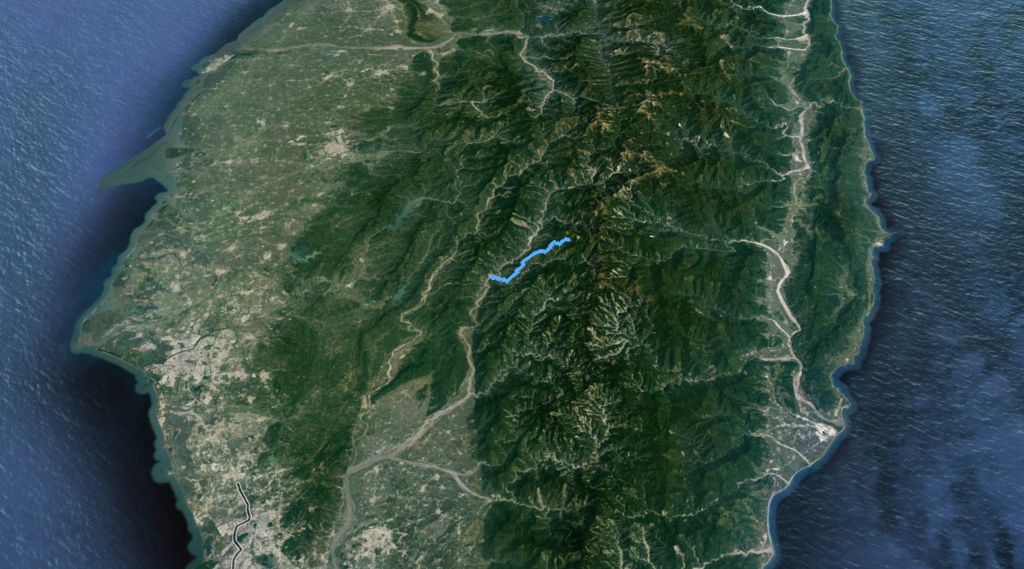
Xiaoguan Mt. was, and to some extent, still is one of the best MTB routes in Kaohsiung. Located in Baolai Village, Kaohsiung it’s not so easy to access without your own transport. I was denied access to the public bus that would get me to the area, so finally, if not riding to the start a car is needed.

Baolai (elevation 400m) is located approx 90km from Kaohsiung city center on Provincial Highway No. 20 (South Cross-island Highway). The road bike route on this highway is covered in (add soon) of the Top 100 Climbs. The town is a hub for hot springs and access to some of the best hikes in Taiwan. It is well-serviced with shops, restaurants, and accommodation.

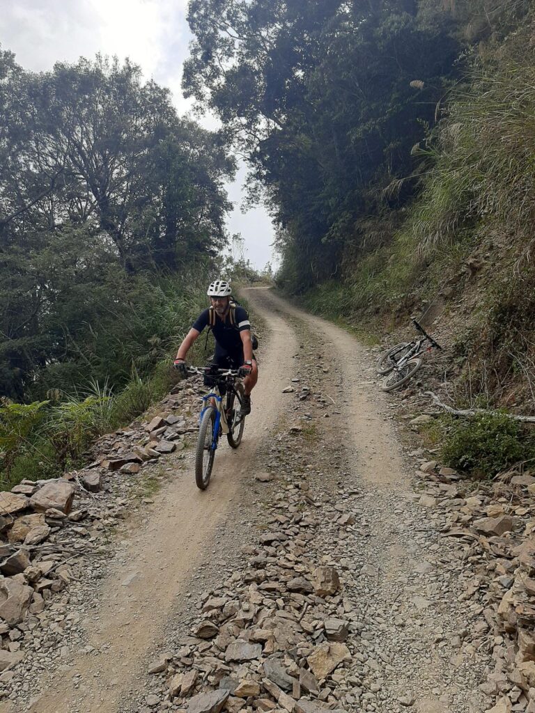
Starting the ride from the town the first 7 – 8km are on steep concrete, so some riders will drive this section. From this point, the road turns to dirt/gravel and remains that way to the top with some patches of concrete/road along the way.

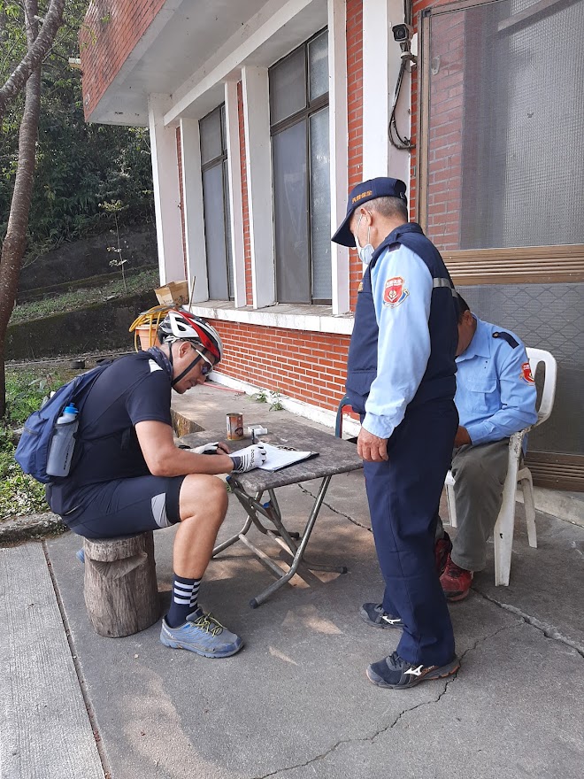
There is a checkpoint here where all riders/hikers must sign in to the forestry workers. Riders should be aware that this road is the main access point to Xiaoguan Mt. a Top 100 hiking peak. As such, on weekends there is likely to be traffic transporting hikers to the trailhead.

One of the best things about the ride is the views of the valley below. The road meanders around a few different mountain ranges and there are a couple of ups and downs along the way.

With it being mostly forested there is plenty of shade and a few rest stops. The road tops out at around 2,000m elevation over a distance close to 30km.

It would not be advisable to do this after heavy rain as it has been prone to closures and landslides over the years. The trail condition is otherwise good and suitable for a gravel bike, but with wider tyres to handle the rougher gravel sections.

Here are the KML and GPX files.

A really great trail that doesn’t get enough attention. Most MTB riders in Kaohsiung and Tainan will have done this one at least once if not several times.