Location: Kaohsiung City/Pingtung County
Distance: 90 km Elevation Gain: 470m
In our previous posts, #071 to #074 and #077 – #078, we outlined routes that traverse from Hsinchu in northern Taiwan to Kaohsiung City in southern Taiwan through the hills that run parallel to the central mountains. This is an excellent alternative route to avoid the more congested and populated west coast.
So, this is the seventh post offering what we consider a far more enjoyable and less crowded means to navigate north to south away from the dull ‘Cycle Route No. 1’ touted by those less imaginative types.
One issue with this route is that it starts in the middle of nowhere. We are presuming that if you decide to do this, you are on a multi-day traverse mission. If, however, you need a start point with public transport, then that would be Kaohsiung City, with the route covered extensively in #044 of our series.
Any cyclists living in southern Taiwan will be familiar with County Road No. 185, which runs parallel to the central mountains. Although it’s mostly flat, its importance is on account of the fact that it has several access points into the mountains and Indigenous villages, which will be outlined later.

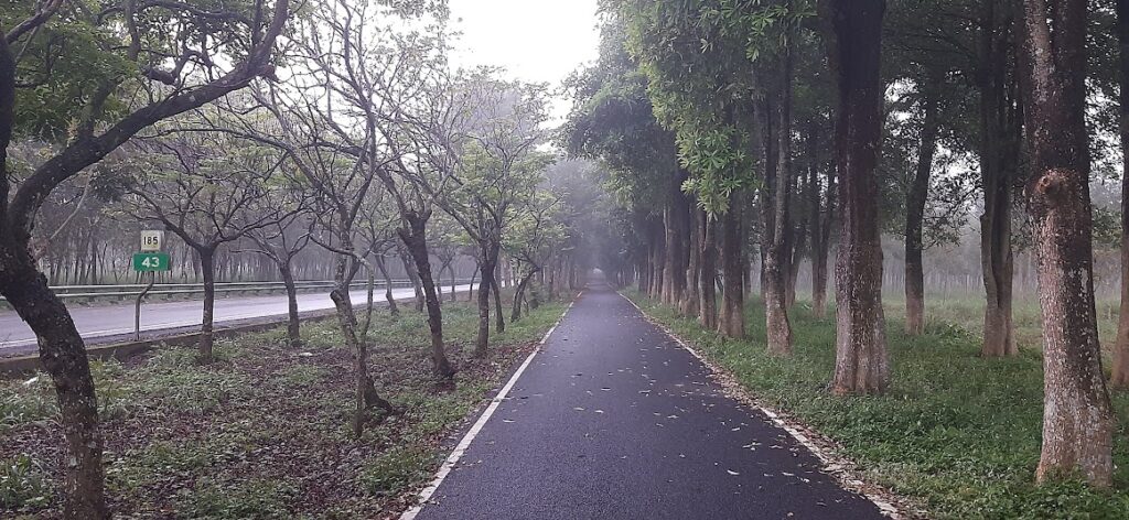
Our starting point is the 0km marker on the No. 185, and the first point of interest is immediately on your left – this is the trailhead for Weiliao Mt., a Small 100 Peak. The surface on the road is great, and it’s well maintained on account of it being the primary conduit between villages along the mountains.

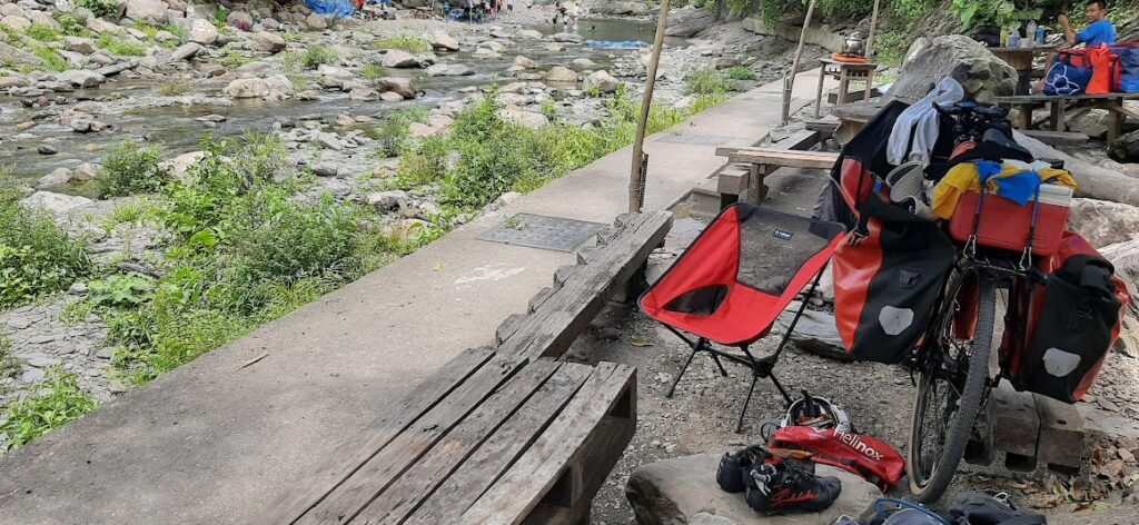
At this point, you are in Rukai Indigenous territory, whereas the south is predominantly Paiwan Tribe. There is an abundance of art and iconography to accompany this. Just 7.5km along the road, there is a turn off into a small village of Qingshan, which leads to Sea God Palace, a popular recreational water source beside a river. This is a great place to cool off in summer.

On a straight run south, the first place you come to to pick up refreshments is Sandimen at the 25km marker. A left turn here into the mountains is the start of the climb in #015 of our series, and just a short distance south of here is the start of #021.
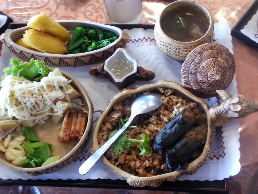
Stop at any restaurant in this area, and you are guaranteed to get some great Indigenous grub. About 10km down the road, you’ll see a turn off to the left for Wanan Riverside Park, a great spot to chill in the river.
As you continue riding south, it is worth looking out for dedicated bike paths on both sides of the road, however these are in sections rather than one continuous run. Over the next 30 kilometers, there are two more left turns off the No. 185, which lead to #017 and #019 in our listing.
The No. 185 terminates after 69km, where it intersects with Provincial Highway No. 1 at Fangliao. This is a major town with the last train station in the south before it crosses over to Taitung. There are lots of accommodation options here.

We have terminated this ride at Fenggang town, 20km south of Fangliao. This is the intersection where the rider has the option of turning left on Provincial Highway No. 9 to Taitung or continuing south on Provincial Highway No. 26 to Kenting (#041)
Here is the GPS information for this route: