Location: Hualien
Distance: 110km Elevation gain 894m
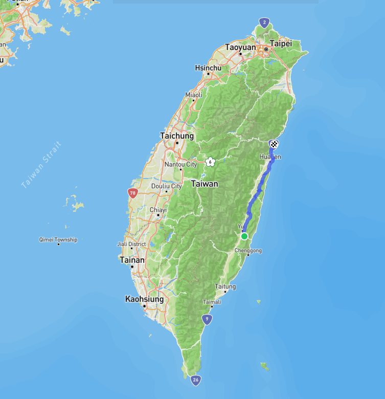
When asked to choose their favorite part of Taiwan it was no surprise that Taiwanese picked the Rift Valley. I would be inclined to agree with this opinion. In this post we cover County Road No. 193 in Hualien. The road itself is exactly 110km.
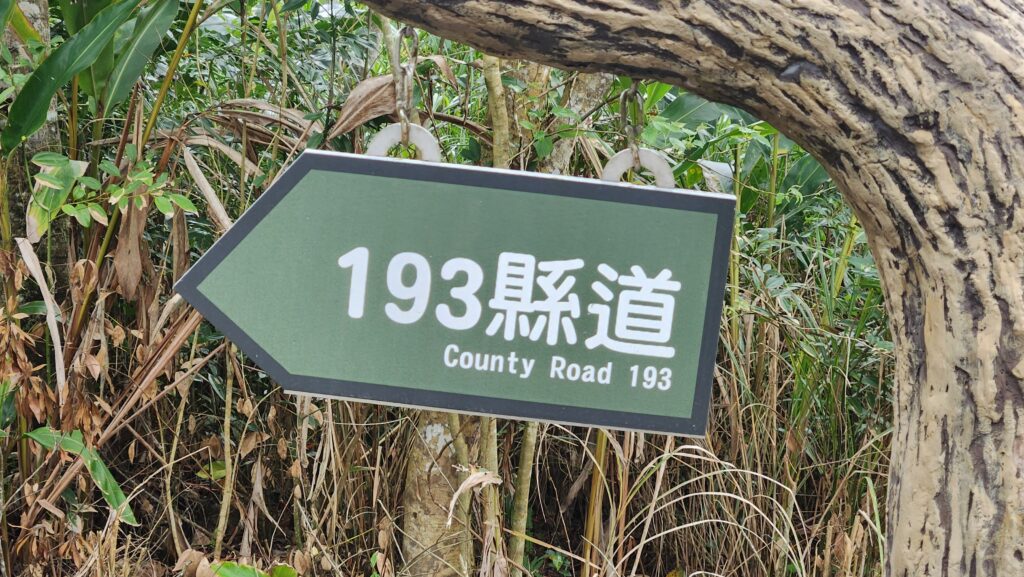
In our series, we have decided to cover two roads that connect Hualien to Taitung – the Rift Valley County Rd. No. 193 and Provincial Highway No. 11, which follows the coast. Although not major climbs they are both important to access several of the routes we have outlined and excellent roads for anyone traveling around the island.

Hualien is a primary area for the indigenous groups of Taiwan and six of them call Hualien County home – Amis, Truku, Sakizaya, Kavalan, Bunun, and Sediq. The Amis, the most populous indigenous tribe in Taiwan, primarily dwells in Hualien County.
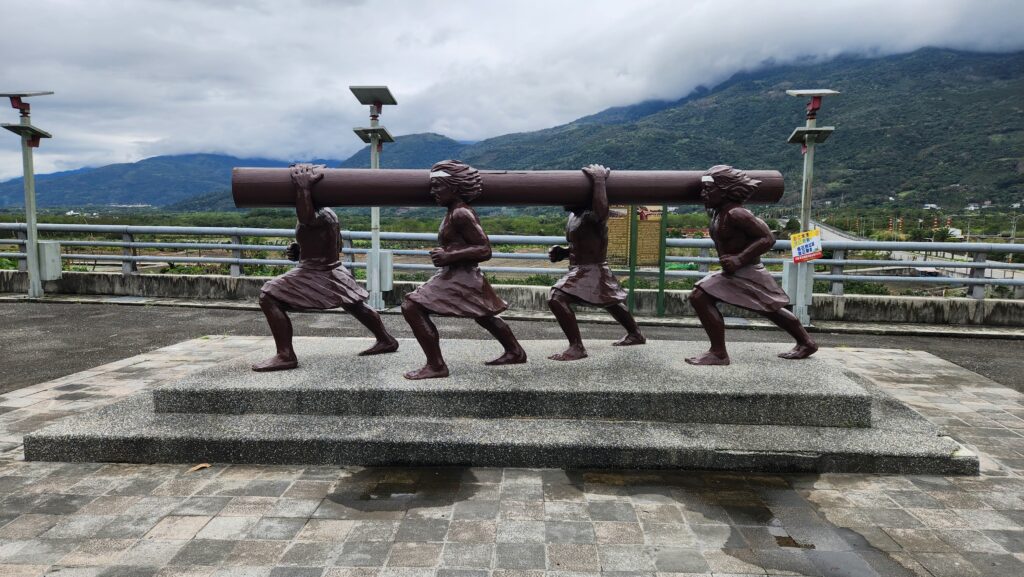
On this particular occasion, the ride was completed south to north starting at the hot spring town of Antong – this is one of the five historic hot spring locations developed during the Japanese colonial period. Below we have included information about access from both the north and south.
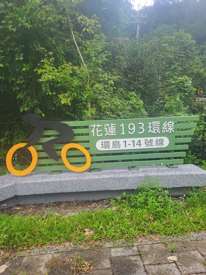
Access from the south is Yuli train station where the rider will get onto Provincial Highway No. 30, locally known as the Yu-Chang Highway to reflect the fact that it connects the town of Yuli to Changbin on the east coast. (More information on No. 30 can be found in #037 – The Hua 64 and Tai 30 Loop).
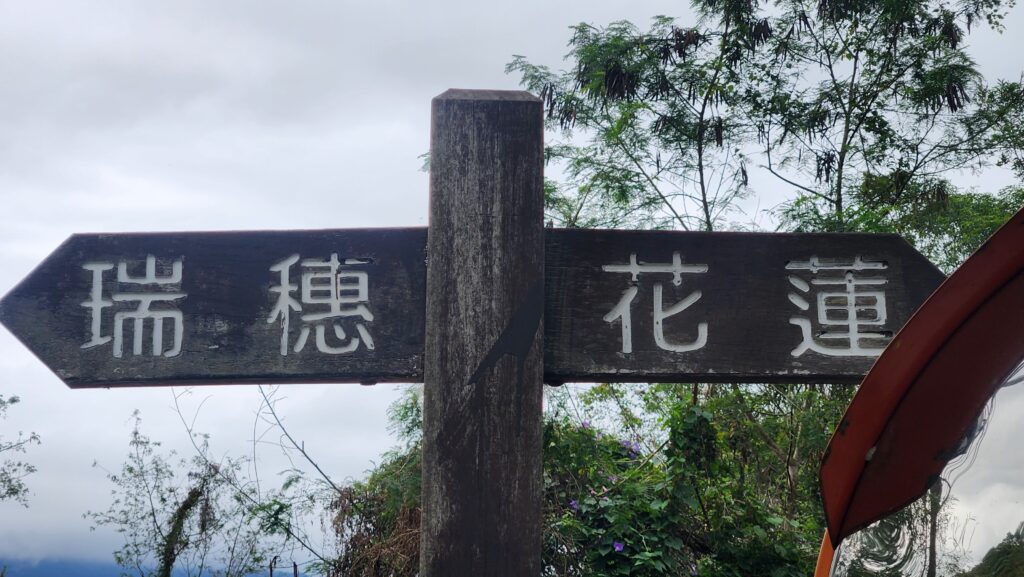
It’s just a 4 – 5km ride east from the train station to get to the 110km marker on the No. 193 Rd. Access from the north is Xincheng train station at Taroko Gorge which is explained at the end of this description. North to south or vice versa the road is equally good in either direction.

It will become immediately obvious to the rider why this road is so appealing to cyclists – in general, there is very little traffic and there are paddy fields stretched out into the horizon as far as the eye can see. If that isn’t enough there is also the fact that the road hugs the coastal mountain range on the right with the central mountain peaks in full view on the left.
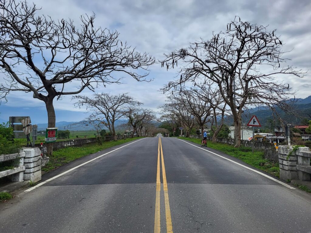
For the first 20km or so the road is on a slightly downhill trajectory on a good surface. The first major town is Ruisui located at the 86km marker on the road which is well known in Taiwan as the premiere rafting location on the Xiuguluan River. This is a good place to pick up supplies and there are plenty of restaurant and accommodation options.
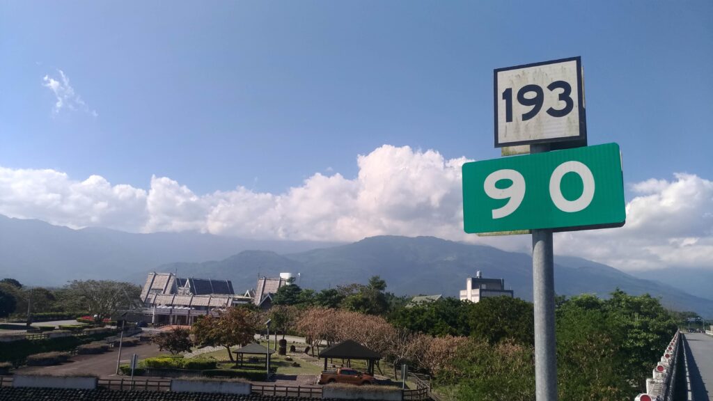
Just 2km outside the town you will see the turn-off for the Hua 64 Rd. mentioned above. From here to the end of the road is more undulating. The next major stop is at Guangfu, the No. 193 crosses Provincial Highway No. 11A – take a left turn here and it’s just 3km to the center of the town.
Guangfu was once a thriving town as a major sugar production and logging area. I would highly recommend a visit to the old Tai Sugar plant and Lintian Shan Forestry Culture Park.
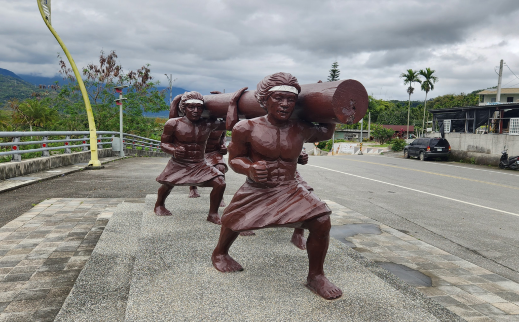
Back on the No. 193 you are now entering a more rural area and apart from a few small villages there isn’t much by way of shops or restaurants unless the rider turns off to get onto Provincial Highway No. 9. There are numerous small roads turning off the No. 193 as you pass through these small villages and it’s easy to get detoured, so pay attention to the road markings.
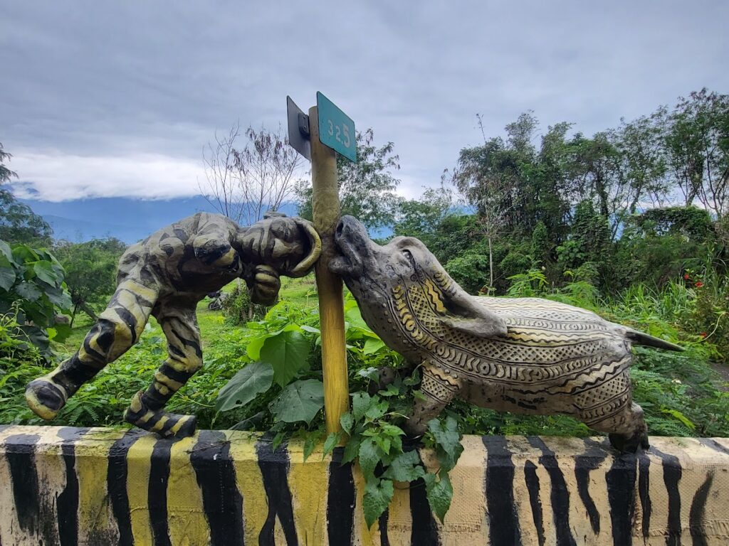
One good thing is that the Hualien government has done a good job at promoting this route for cyclists and several rest stop/ public toilets have been added over the years.
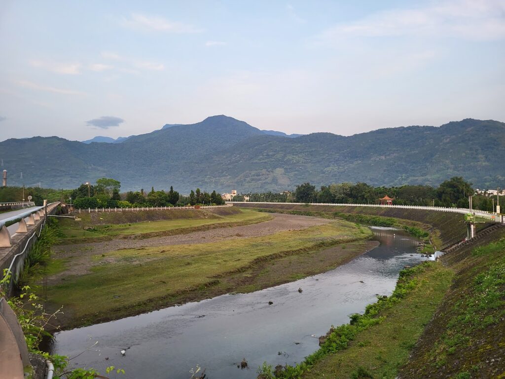
As you continue north there are two intersections of note to the Hua 46 and 38 -1 roads which are covered in #038 of our series. This is definitely the best section of the road, as it winds through the hills you could imagine yourself being anywhere in the world – the forest and bird song accompanying you along the road.
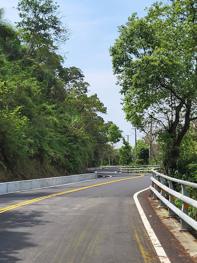
The rider should be aware that the north part of the road is subject to landslides after heavy rain. There are two or three locations where steel gates have been installed to close the road off – if these are not closed you can presume you have a clear route through to Hualien city.
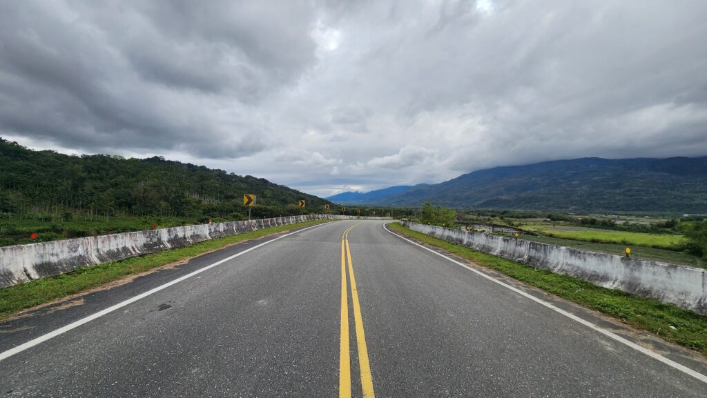
Once you reach the 24.5km marker the road intersects with Provincial Highway No. 11 – right turn for the coast, left to the city. This is a really busy road and caution is advised when crossing the bridge, hopping up onto the sidewalk is advisable.

Once you cross the bridge go straight to get to Hualien city center. If you are continuing north towards the Gorge you could stay on the No. 193, however, there is a busy section of this road that goes through the port area. To avoid this it’s easy to get onto the coast path to Qixingtan Beach which is excellent. It traverses through some city parks before it reaches the beach.
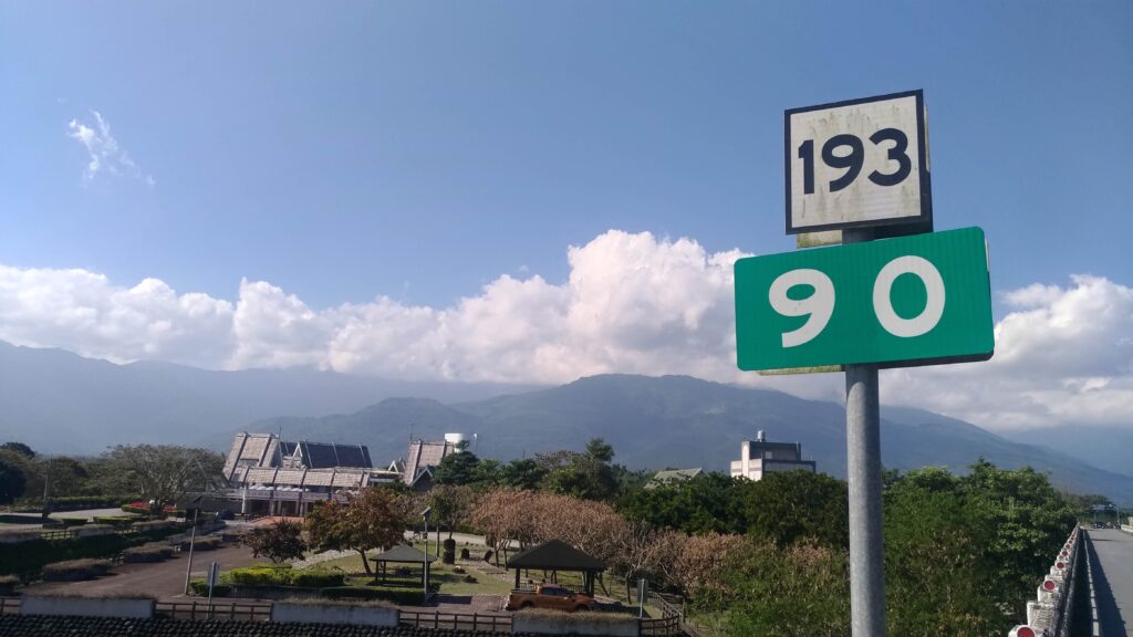
At the end of this bike path, you reconnect to the north section of the No.193 for 5 – 6km which then puts the rider onto Provincial Highway No. 9 (189.5km marker). From here it’s just another 5km to Xincheng train station and 10km to the gate of Taroko Gorge.
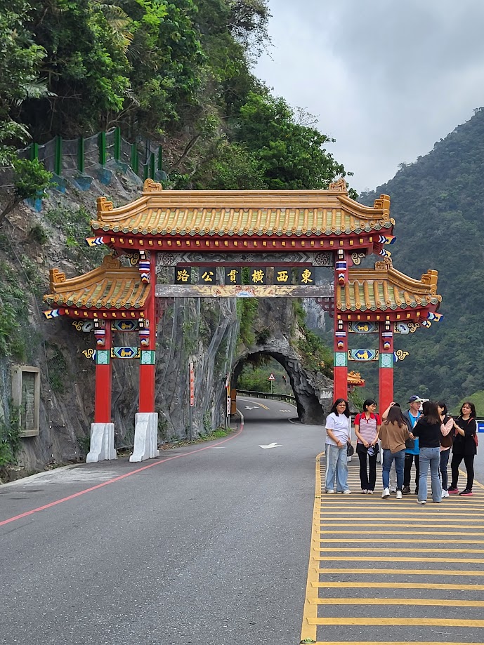
At this point, you may well do one of the following – continue on up the Gorge to take on the Wuling KOM listed as #001 in our series. Alternatively, ride north for the best coastline ride in the country – see The Su-Hua Highway, #027 for full details.
One Reply to “#048 – The Rift Valley (County Rd. No. 193)”
Comments are closed.