Location: Kaohsiung
Distance: 42km Elevation Gain: 1,500m
There are a total of 18 NFRAs in Taiwan and the roads leading up to some of them are spectacular for mountain scenery. Alishan in Chiayi County at 2,100m is the most famous of these and is covered in the ‘South Approach to Tatajia featured as 006 in this series.

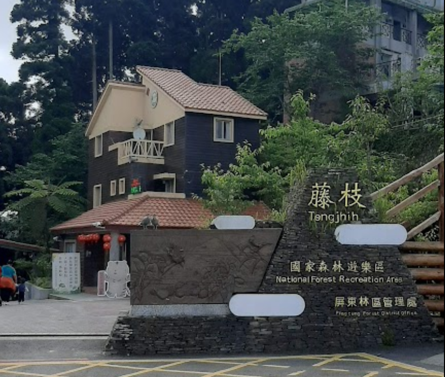
Tengjhih National Forest Recreation Area is located in Baoshan area, Taoyuan District, Kaohsiung. Access to Tengjhih is tricky on account of it being in a more remote part of the country.

Originally opened in 1983, the park operated normally until the infamous Typhoon Morakot utterly destroyed the last kilometer of the road leading to the park in 2009. Repairs were undertaken, but before the park could reopen, another typhoon in 2012 washed away the same section of road. Finally, in 2019, the park was provisionally reopened.

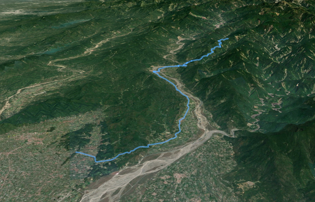
The approach is located on Provincial Highway No. 27 which connects the two villages of Laonong, (located at the 0km marker on the No. 27) to the north and Liuguei to the south (located at the 10km marker on the No. 27). Both of these villages have 7-11s and the rider would be well-advised to stock up at one of these locations. Liouguei is by far bigger and the better location for restaurants, but there are no accommodation options in either village.
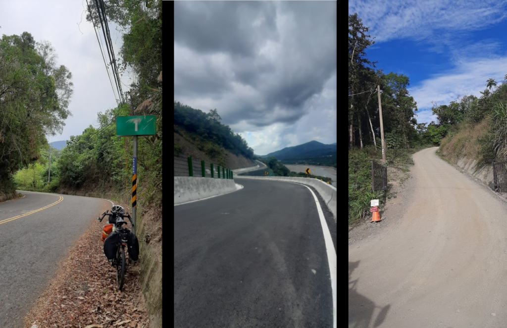
On the No. 27 at the 8km marker, there is a sharp turn off which could easily be passed by if you are not paying attention. The road does not have a number and is locally known as the ‘Launong River Forestry Road’
The elevation at this point is only 200m. Unlike most forest roads, it is two lanes for most of its length and has an asphalt surface, making for a comfortable ride. It ascends dramatically and has numerous switchbacks.

From the start, it’s a 15km ride up to the Aborigine Bunun village of Erjituan within the area of Baoshan which is at 1,200m. There are several small shops and a restaurant where lunch and refreshments can be picked up.

At the 18-kilometer marker (around 1,500m), the road is currently blocked off, a result of Tengjhih’s unfortunate fate in recent years. All the way up there are fantastic views of the surrounding mountains. This section of road is just 1km from the gate of Tengjhih National Forest Recreation Area at which point the rider will turn around if unwilling to hike to the gate of the park proper.
It is possible to be done as a day round-trip from Kaohsiung, but at 180km with a substantial climb in between it would be better to do it in winter.
Here are the KML and GPS files.