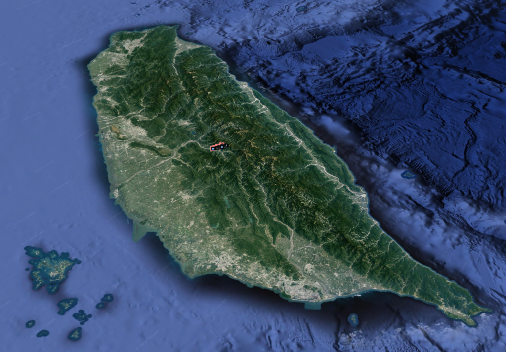
Location: Nantou
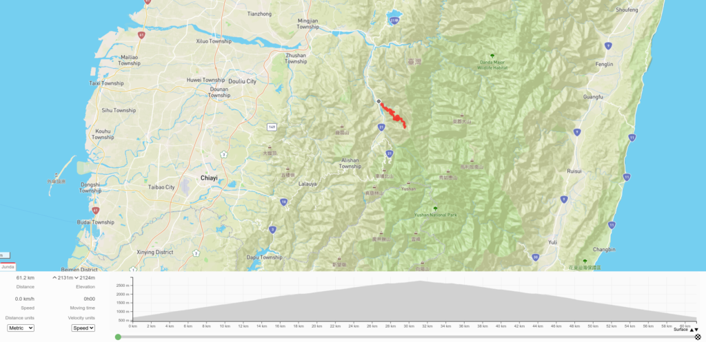
Distance: 64km Elevation Gain: 2,300m
For most of the Top 100 Climbs, the focus has been on those accessible by road bike, but there are several off-road routes that ascend over 2,000m which should be included.
The Taiwan KOM (road bike) is covered in #001 of this series which takes the rider from Hualien on the east coast up to Wuling on the Central Cross-Island Highway. The following section will describe what is considered the off-road KOM counterpart.
Located in Nantou County this route exists as an access road to one of Taiwan’s Top 100 mountain hiking trails, also named Junda Mt. 3,248M. As such the rider should be mindful of the fact that on weekends there will be a lot of 4X4 traffic shuttling hikers to the trailhead.
If traveling by train the narrow gauge Jiji line stop at Shuili would be the closest access point by public transport.
There is no water source on the road so the rider must carry enough to complete it, two water bottles would hardly be enough.
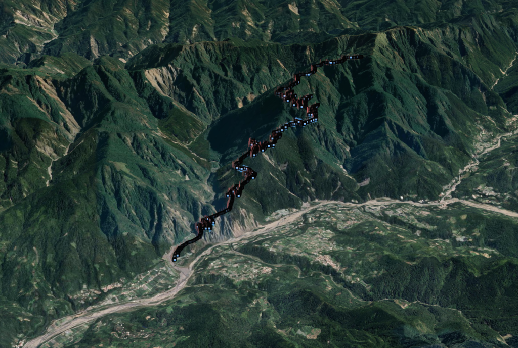
The Route
In order to allow sufficient time for the ride it would be best advised to stay somewhere in proximity to the road the night before. The access gate which is open all day, but may be closed at night, is located at the 94km marker on Provincial Highway No. 21 – AKA ‘The New Central Cross-Island Highway. The elevation at this point is 600m, 0km marker.
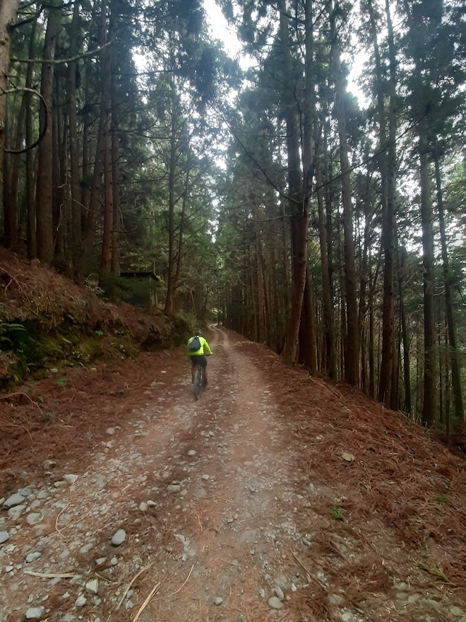
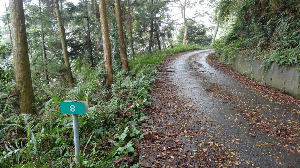
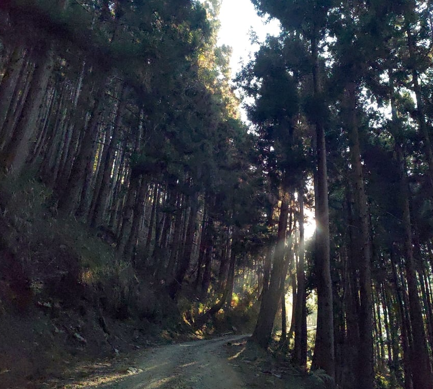
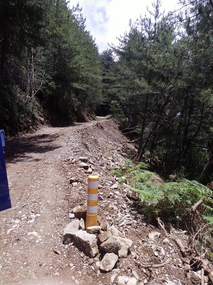
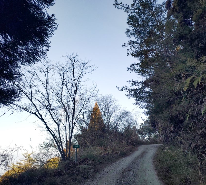
The first 5 kilometers are rough concrete and it ascends dramatically on a road that isn’t wide enough for two cars to pass. As mentioned above, there may be a lot of vans transporting hikers up this road, the rider would be well advised to let them pass by pulling into the side. If the rider gets into trouble or has a mechanical you may need assistance from a vehicle.
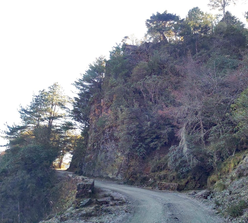
Some MTB riders will also drive this section and start their ride from the gravel/dirt road higher up. At the 23km marker, 2,200m there is a gate that is closed during bad weather.
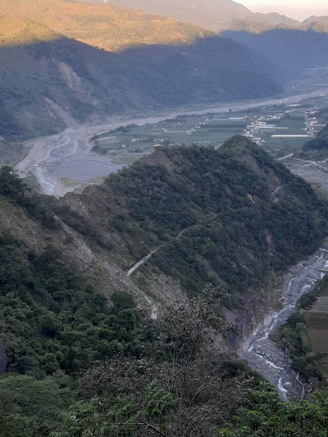
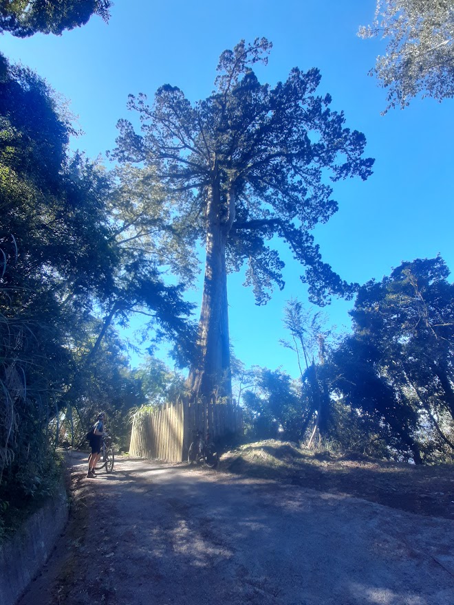
The higher the road gets the better it is in terms of views of the surrounding mountains. There are also two ancient red cypress trees that are good photo ops.
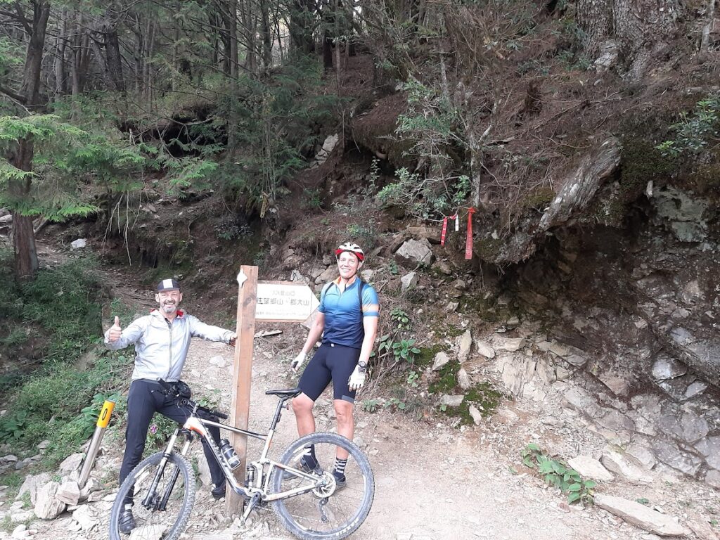
The road tops out at the 32km marker and 2,800m elevation. This is the trailhead for the hikers and where the shuttle vans park.
A really strong rider could expect this to take at least 4 hrs. to ascend, 6 – 7hrs. at a more leisurely pace. The downhill wouldn’t be described as technical or dangerous, but on loose shale, caution is advised.
This Taipei Times article covers this and another MTB route on Renlun Forestry Road which is nearby.
Here are the GPX and KML files.