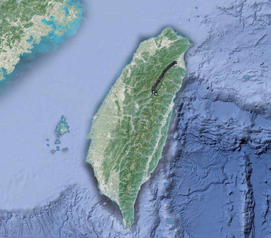
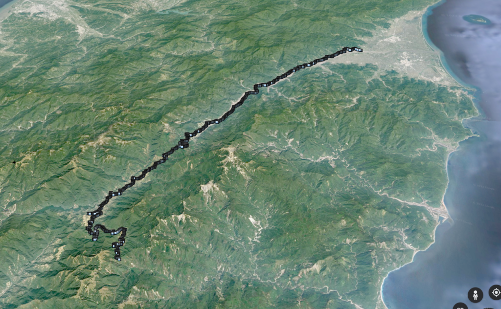
Location: Yilan/Taichung
Distance: 130km Elevation Gain: 3,500m
This is one of the best rides in Taiwan because of the variety of scenery. Starting in Yilan at the 0km marker on the North Cross-Island Highway (Provincial Highway No. 7). There are actually 3 roads combined in this ride – No.7, No. 7A, and No. 8 (the old Central Cross-Island Highway).
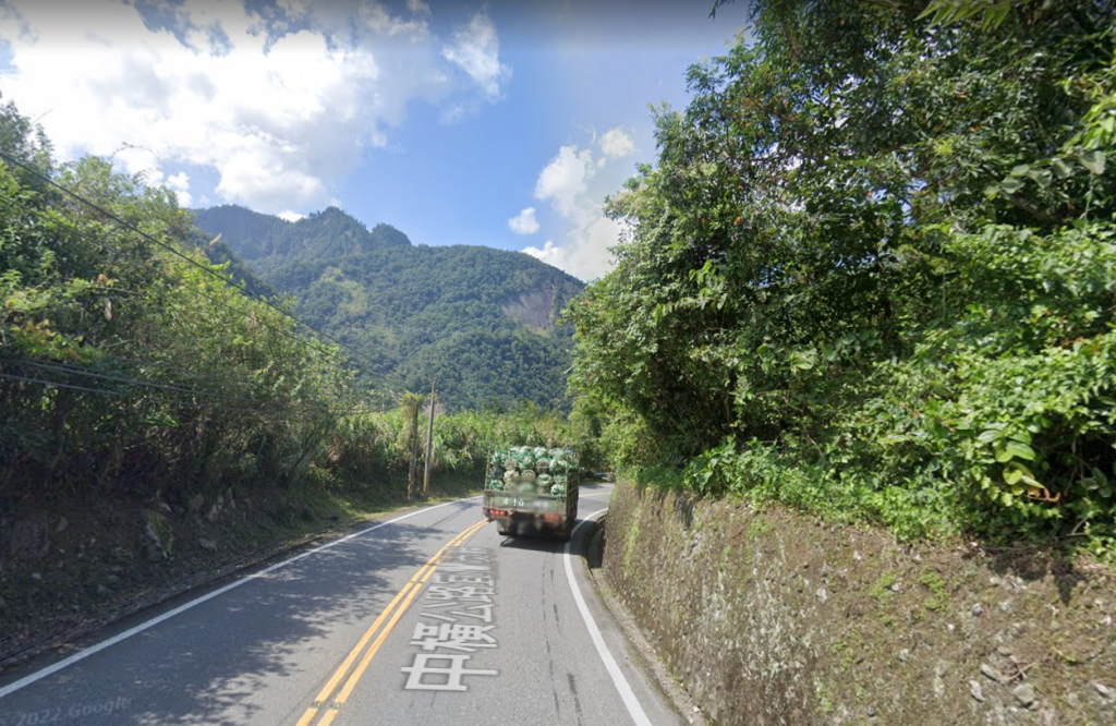
Starting at almost sea level in central Yilan the first 35km has a very mild gradient rising up to 313m. At this point, the rider must continue straight on picking up Provincial Highway No. 7A (0km marker on this road). The next 29km is where the climbing starts and there are no shops to speak of on this section, so the rider should be stocked up.
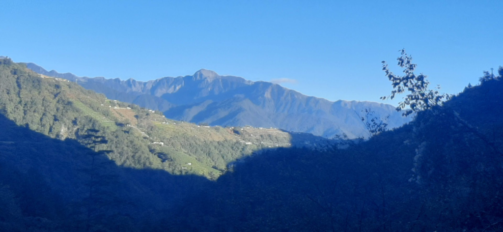
One interesting thing of note is the Lanyang River which the road traces as you ascend. The lower region of this river is dedicated to watermelon farming, then higher-up cabbage farms line the banks of the river. The only major stop for refreshments is at Nanshan (1,150m). The last few kilometers before the town are extremely steep. There are several guest houses, convenience stores, and small restaurants for a feed before the rider starts the steepest part of the climb.
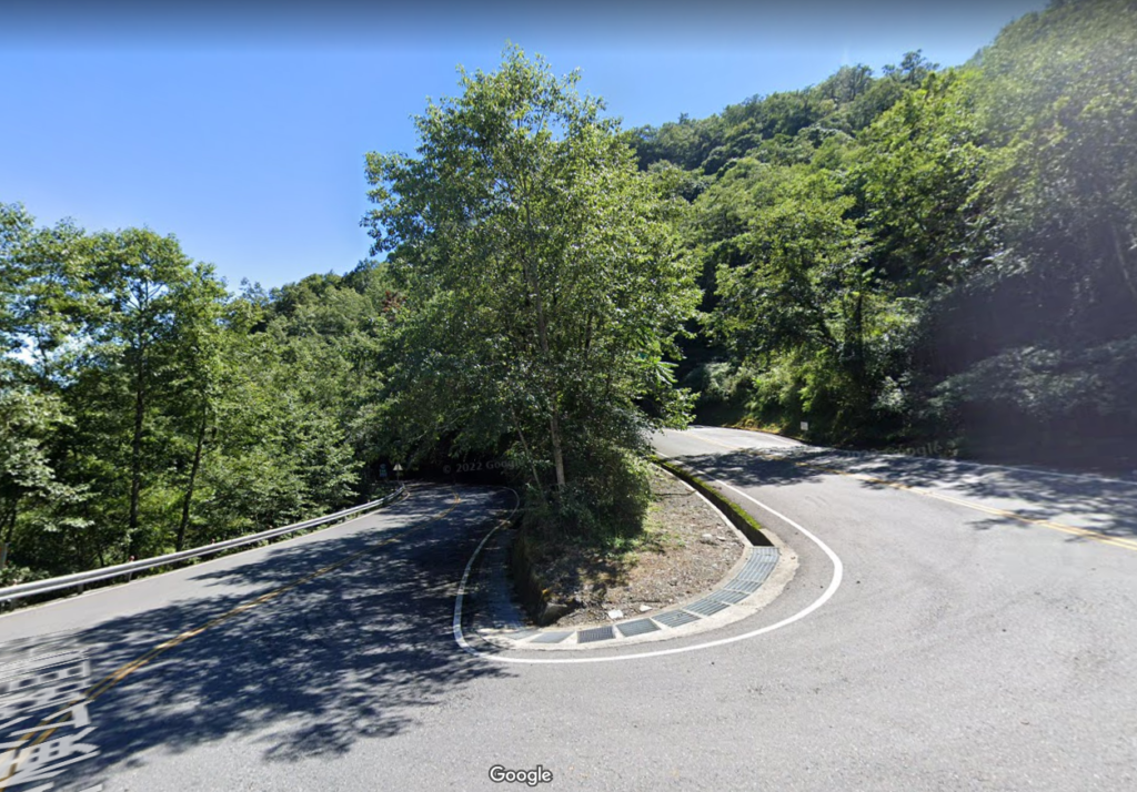
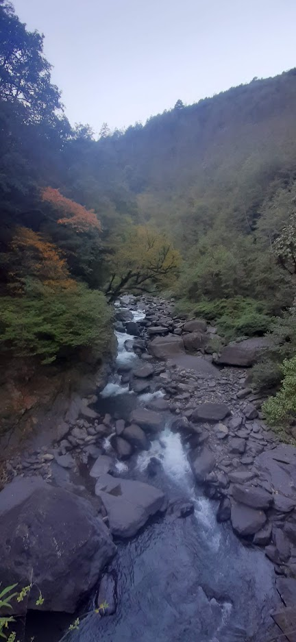
A wonderful winding road through dense forest over the next 16km to the highest point of this section at Szyin Yakou (1,945m). If the rider can get up here early in the morning, there are fantastic views down the river valley to Yilan, but in the afternoon it will also certainly be completely clouded over. For the next 9km, the road descends to 1790m.
The next major feature on the road is the turn-off for Wuling National Forest Recreation Area in Swei Shan National Park. The turn-off for this is located at the 54km marker. There are several good guest houses and hotels here, but most have to be booked three months in advance.
This is where the road becomes complicated and extremely tiring for the rider. First, a 3km climb up to 1,960m followed by a descent of 400m down to 1,520m. A 7-11 opened in 2019 here and the second-floor dining area has toilets and probably the best convenience store views in the country. Immediately after the road starts ascending to the last major town of Lishan at 1,900m and 74km from the start point in Yilan. Having said that it is also the most spectacular for the scenery. For several kilometers, the road runs parallel to the Central Mountains of Taiwan with the Snow Mt. range on the right.
Lishan is a great stop-over point for everything the rider might need for an overnight stay or loading up with supplies. It is also a major fruit-growing area in Taiwan, famous for its pears, apples, and persimmon.

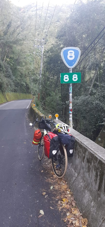
From Lishan the rider picks up on the old Central Cross-Island Highway (Provincial Highway No.8) for the most enjoyable part of the ride and appreciation for the fact that Taiwan is alpine and equal to any high mountain roads that can be found across Europe. The last 30km of the ride is moderate grade, climbing up to 2,565m at Dayuling. There is a 500-meter-long tunnel with one-way traffic to get the rider to the highest point of the road. This is where it intersects with the Taiwan KOM (see #001 KOM)
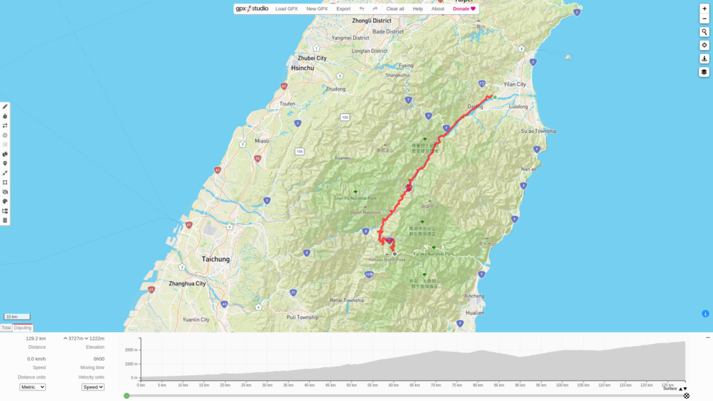
Over a distance of 104km, there is close to 4,000m of ascent making this more challenging than the KOM itself.
Here are the GPX and KML files.