Location: Chiayi County
Distance: 82km Elevation Gain: 1,200m
There are only two county roads in Taiwan that travel from sea level to over 1,000m. The first is covered in #018, Guanwu, of our series which is in Hsinchu, north Taiwan. The only other road which has that distinction is the No. 166 in Chiayi, south Taiwan.
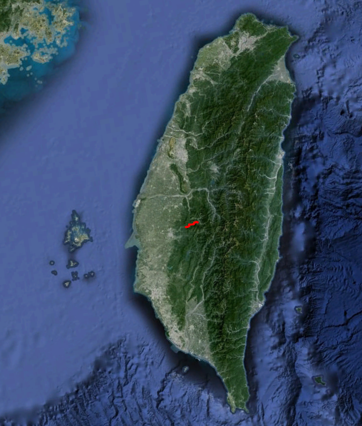
It might be of interest to some to cover the whole road end to end in which case the 0km marker is at Dongshi on the coast. This would involve nearly 50km of mostly flat road before entering the climbing section and is best skipped.
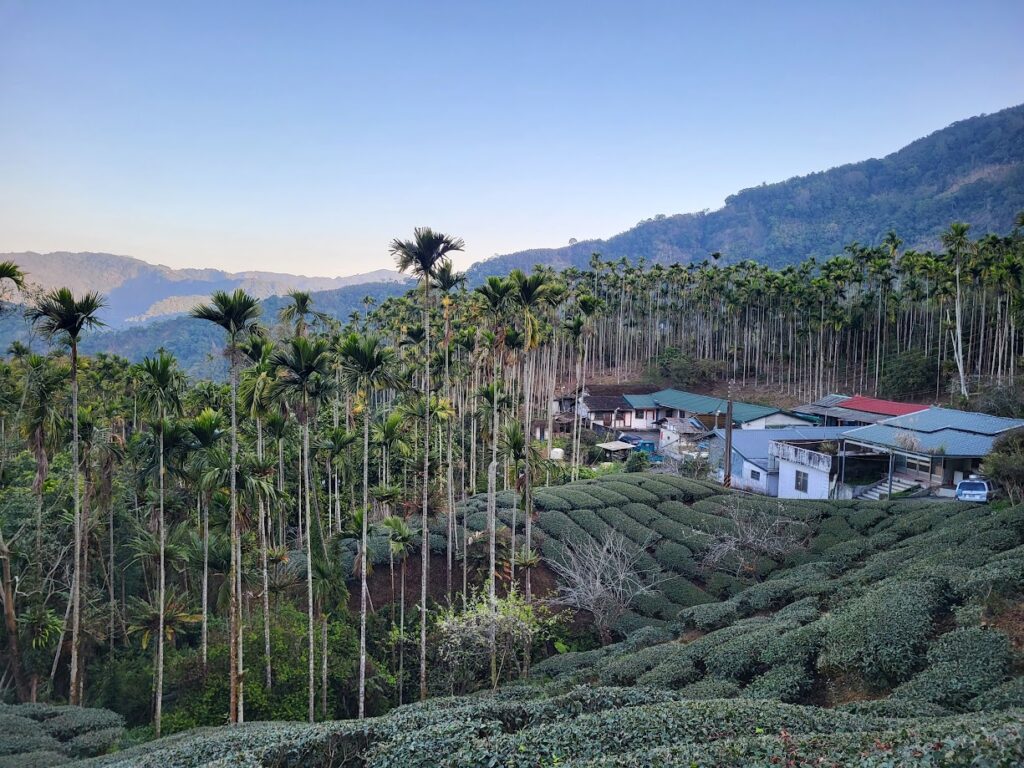
By public transport the nearest train station is Chiayi. Leave from the station on the No. 159 road for 10km or so to get to Provincial Highway No.3 to Zhuqi town. Lots of places here to pick up supplies. At the 178km marker on the No. 3 take a right turn to get onto the 166 – this is the 48.5km marker of the road and is just over 100m in elevation. For most of the lower level of the road the ascent is gradual with few places where you need to get out of the saddle.
The 166 has several places of interest for tourists, hikes, waterfalls and parks. As such it can be busy on weekends. At the 53km marker there is a turn-off to the right to Wanfeng Waterfall. A few kms up a very steep road gets the rider to a village with lots of shops and snacks on sale. The 3-tier waterfall hike takes about an hour round trip.
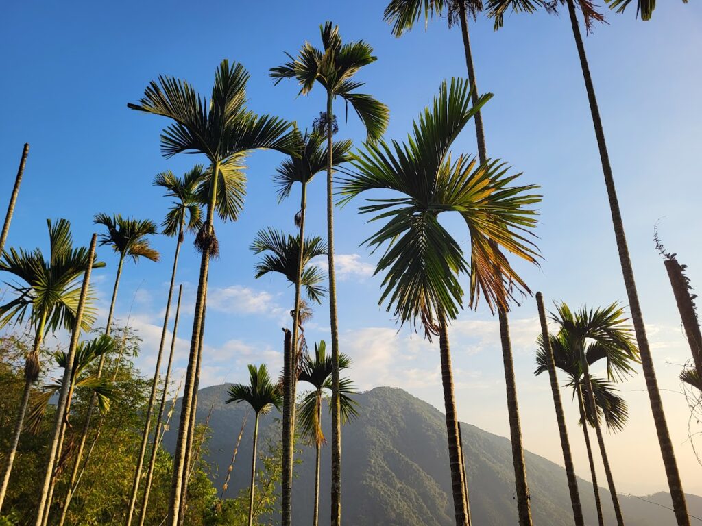
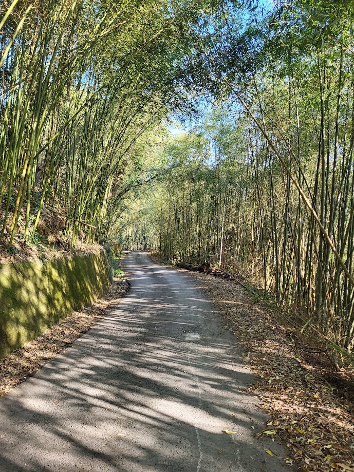
Some county roads in Taiwan were notorious for bad surface and the 166 was a road that didn’t get much attention in the past. However, in recent years local governments have improved them for overall public safety. The 166 now is a lot better than it used to be. Chiayi is famous for tea and as the rider travels east into the mountains there are numerous plantations dotting the landscape. Not to mention betel nut and bamboo which is also heavily farmed in the area.
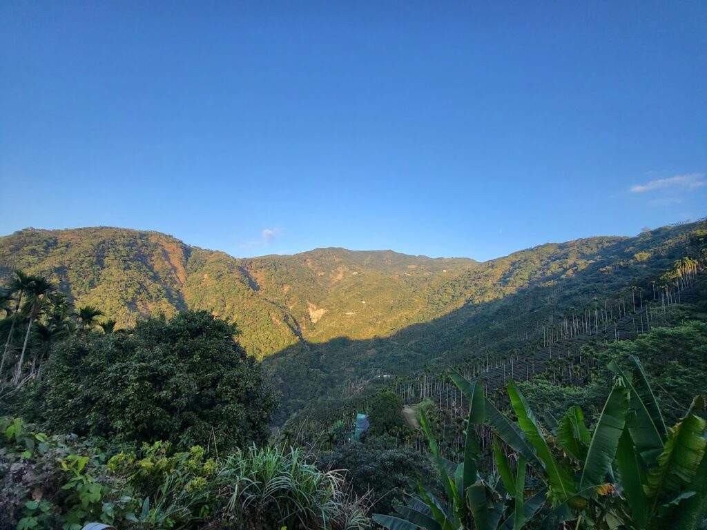
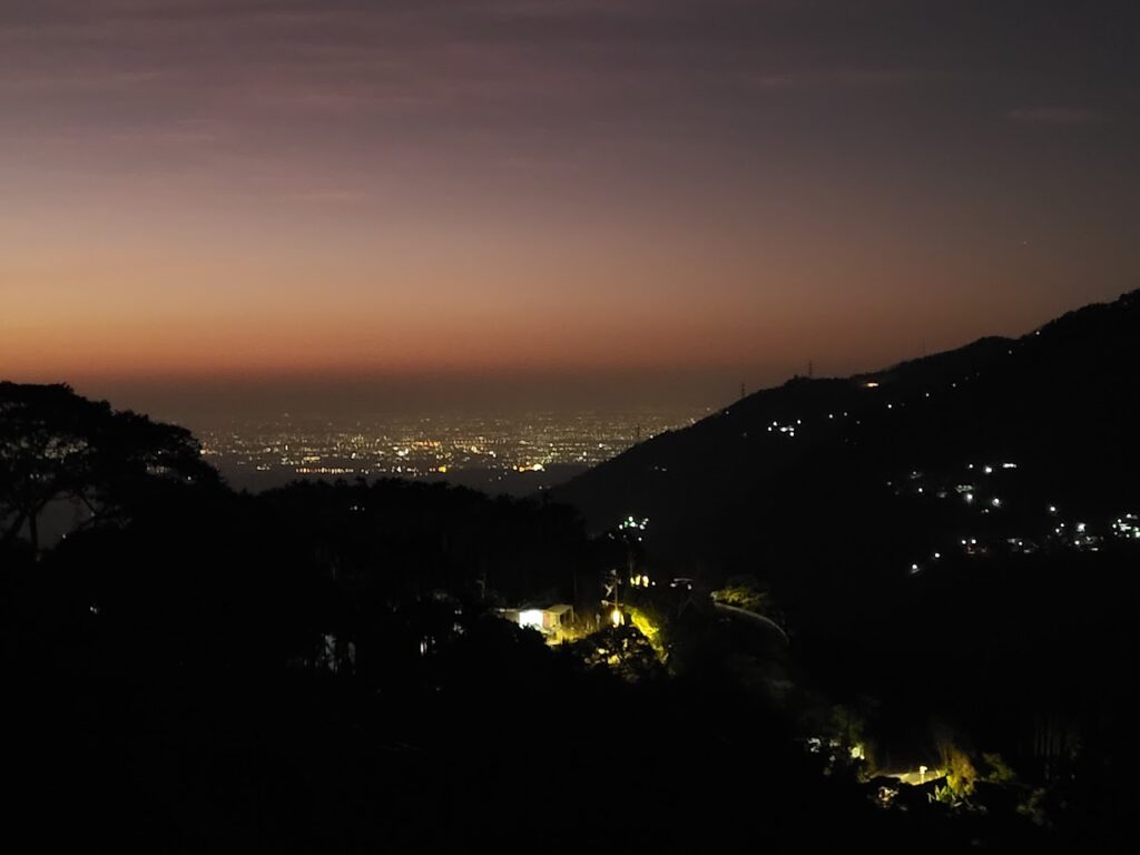
After an hour or so on the ascent, the road offers spectacular views down to the flats of Chiayi and this is especially great at night, but there aren’t really any accommodation options on the road and not many shops to pick up supplies either.
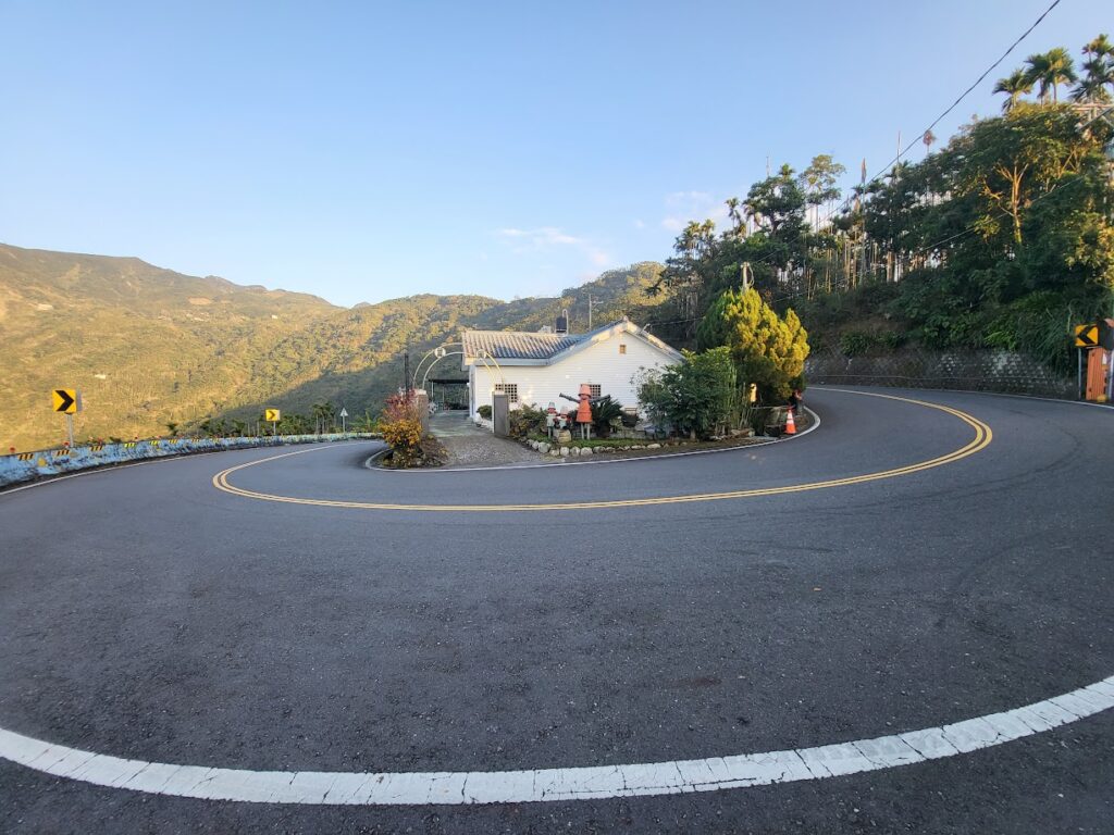
At the 67km marker, the rider will cross narrow gauge train tracks. Just off to the right is Jiaoliping train station, one of the stops on the Alishan Line. There is also a turn-off to the left for the Chia 154 road. This would be of interest to anyone looking to loop back onto the No. 162A road which is ‘#028 – The 36 Bends’ in our series of the Top 100 Climbs in Taiwan.
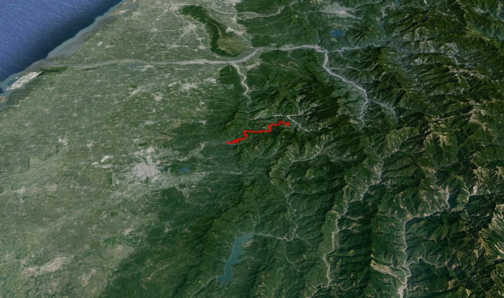
From this point, it’s a steady climb up to 1,200m where the road ends at the 81km marker. The road intersects here with the 162A 39km marker which ends at 47km marker. From here a left turn will get the rider to Taiping, the top of the ’36 Bends’ road. A right turn leads onto the No. 169 road, after 27km this intersects with Provincial Highway No. 18 (#006 –Alishan) via Fenchihu and Shizhao.
Here is the GPS information from Zhuqi up to Fenchihu:
Let’s wrap up this post with a night shot from the hills:
[osm_map_v3 map_center=”autolat,autolon” zoom=”autozoom” width=”100%” height=”450″ file_list=”/wp-content/uploads/gpx/166.gpx” file_color_list=”none” control=”fullscreen,scaleline,overview” map_border=”thin solid black” file_title=”166″]