Location: Hsinchu/Taoyuan
Distance: 48km Elevation Gain: 1,800m
There are now several rides in Taiwan that we have covered in the Top 100 which have been given specific names to alert riders to their prominence. The ‘Taiwan KOM’ #001 is our series, the ‘Hand of Buddha’ #026, and the ‘Meishan 36 Bends’ #028 to name three.

In this, #030 of our series, part of what has become known as the ‘Yulao Grand Slam’ is covered – this ties in with #009 and #020. To complete the Grand Slam as a single ride in a clockwise direction the following roads have to be ridden as a circuit. No. 7 – 113 – 60- 1 – 60 – 118 – 7.
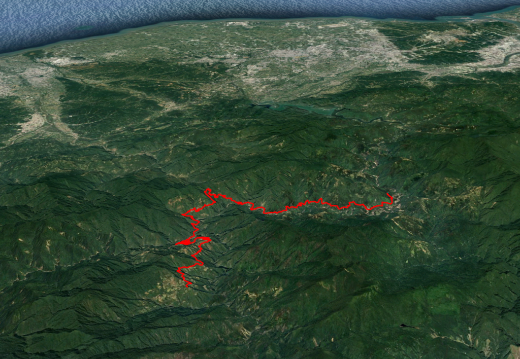
As for the ‘Yulao Grand Slam’ here is a GPS map of the route, this route follows the popular clockwise direction.
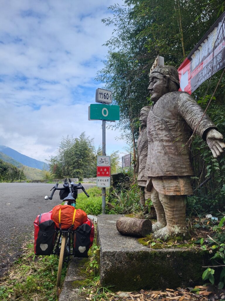
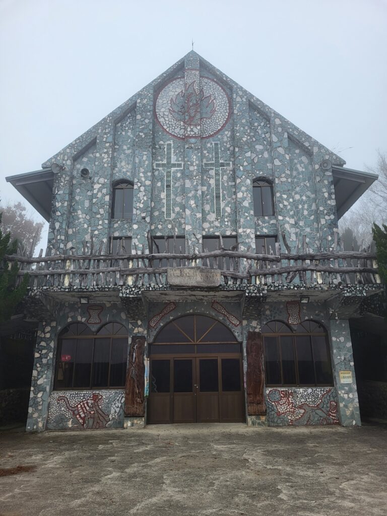
In order to complete this ride to the Zhenxibao Church at its climax four roads have to be broached. The approach, as mentioned above is covered in #009 – The North Cross-Island Highway from Sanxia. On the No. 7 the rider should pick up supplies at Fuxing, the last town with a good selection of shops.
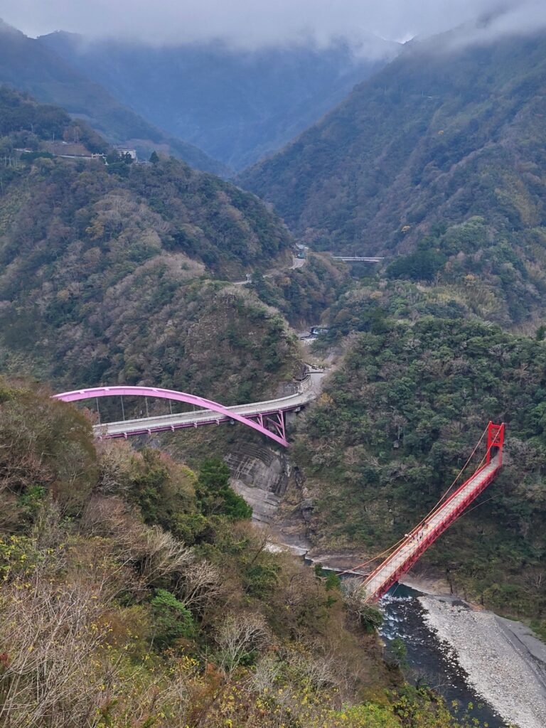
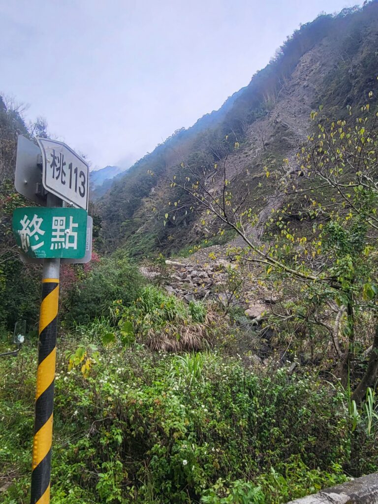
Approximately 45km into the ride with around 800m of ascent the rider comes to the first turn off to the right on Provincial Highway No. 7 at the 44.2km marker for the Tao(yuan) road No. 113. This section of the road is fantastic and within a short time views of the famous Baling pink bridge can be seen off to the left. This part climbs quite gradually. After 8km a bridge is crossed and this is the border between Taoyuan and Hsinchu counties. Here the road becomes the (Hsin)chu 60-1.
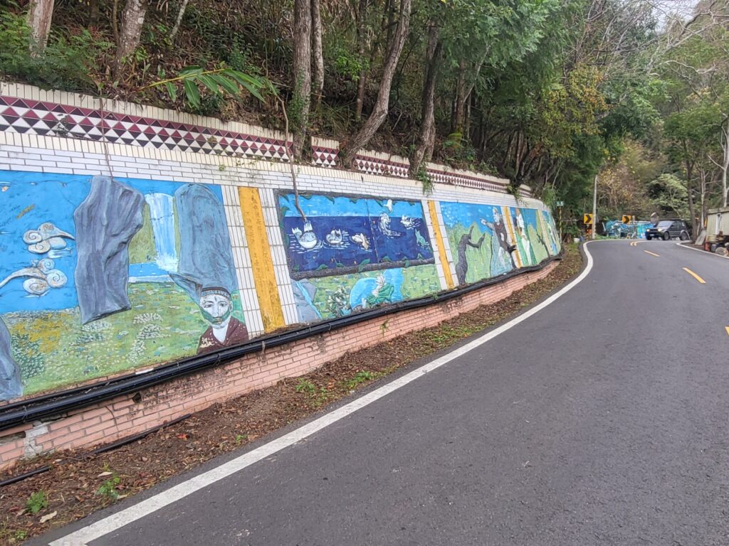
The rider is now in the heart of Atayal Aborigine communities and lots of street art and murals to reflect this can be seen as the rider passes through several small villages. After 15km from the No. 7 the real business of this ride begins. No exaggeration when I say this has to be one of the steepest sections of paved road in the country. Over a distance of 7- 8km the road ascends 600m on a series of switchbacks that will have the rider more out of the saddle than on it.
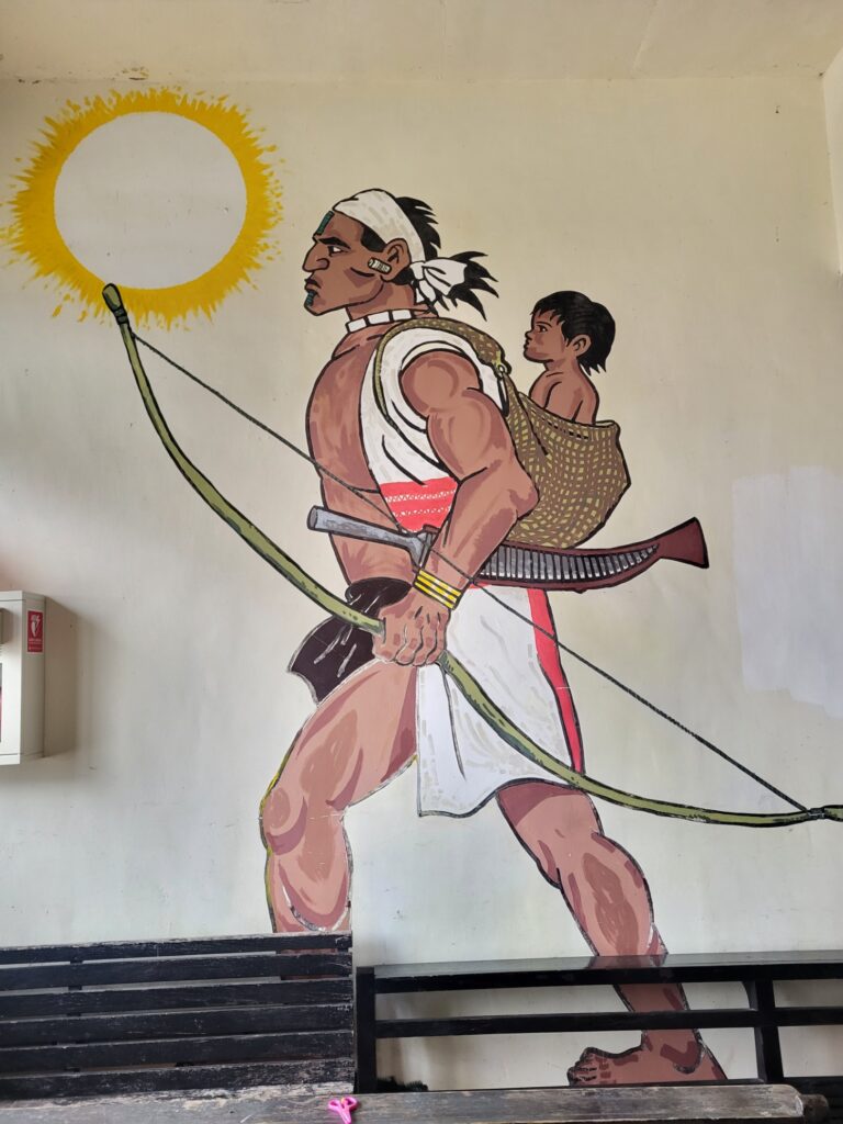
With that out of the way the 60-1 merges with the Chu 60 which is covered in #020. The Yulao Pass is just off to the right. You are now at an elevation of 1,300m and at the 22.5km on the Chu 60. A left turn will take the rider up to Zhenxibao. Annoyingly the road drops like a stone for 4-500m before the final climb up to the church.

Although there are a few small villages on this road there isn’t much by way of shops and during the week the ones that are there are likely to be closed. Back on the road once the descent is out of the way it’s a steady climb up for the last 15km.

Of particular note in this area is a turn-off at the 29km marker for Smangus. This is considered one of the most remote villages in the country, but to get there requires a ball-breaking descent of 5km down to a river and another 11km to the village proper on really rough concrete. If the rider intends to do this, then an overnight stay is highly recommended.
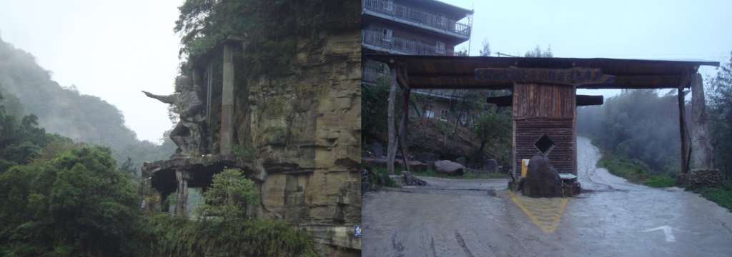
When you come to another village called Xiluan near the end of the ride you are now at the 46km marker on the road at an elevation of 1,400m. This is officially the end and if the church is of no particular interest it’s time to turn around. This village is popular with tourists and there are several guest houses which would be great for an overnight stay.
To access the church, which has some great Aborigine art, there is a short stroll up a concrete path.
Here is the GPS information of the climb described in this entry:
It should have been mentioned in the article that if the church alone is the objective then it’s a straight shot on the Chu 60 46km from start to finish.