Location: Tainan City/Kaohsiung City
Distance: 100 km Elevation Gain: 1,515m
In our previous posts, #071 to #074 and #077, we outlined routes that traverse from Hsinchu in northern Taiwan to Tainan City in southern Taiwan through the hills that run parallel to the central mountains. This is an excellent alternative route to avoid the more congested and populated west coast.
So, this is the sixth post offering what we consider a far more enjoyable and less crowded means to navigate north to south away from the dull ‘Cycle Route No. 1’ touted by those less imaginative types.
I think most cyclists would agree that a metric century with 1,000m of elevation is something of a perfect ride. If you share that belief, then this route fits the bill on both counts, with over 1,500m of ascent on excellent roads, great scenery, and several prominent locations that are on the tourist map.
One issue with this route is that it starts and ends in the middle of nowhere. We are presuming that if you decide to do this, you are on a multi-day traverse mission. If however you need a start point with public transport, then that would be Tainan City, with the route covered extensively in #051 of our series.
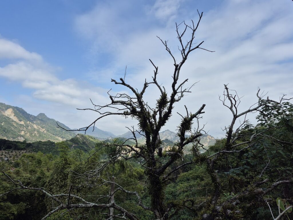
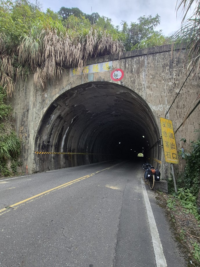
The ride itself is glorious, starting from Guanziling, you are already in the hills on County Road No. 175 (AKA ‘Dongshan Coffee Road’). For the first 30km, it’s up and down all the way at elevations between 200m and 400m, but the gradients are moderate.
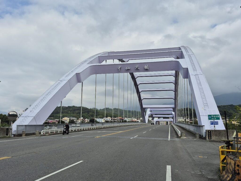
With a nice downhill at the end of the first section, the rider intersects with Provincial Highway No. 3 at the 366km marker, and 20km of flat road follows. You will pass through the town of Nanxi, which is fairly bustling and a good place to pick up supplies before the second climbing section begins.
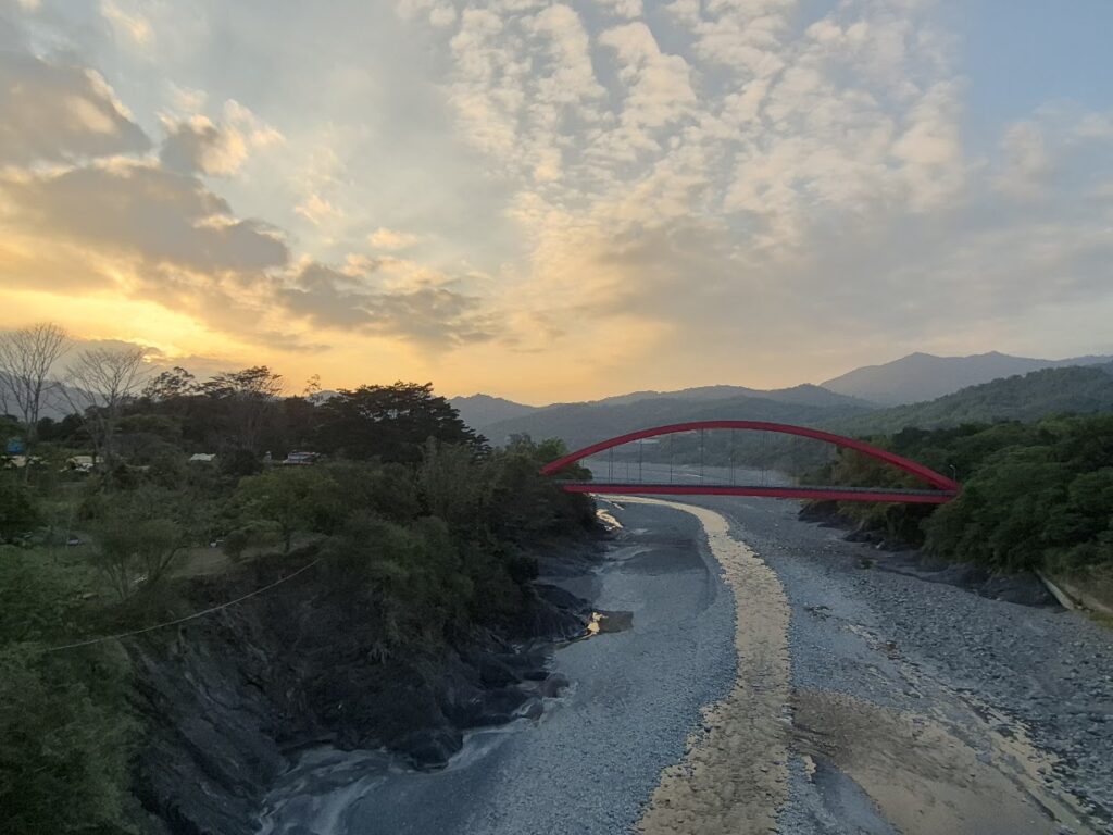
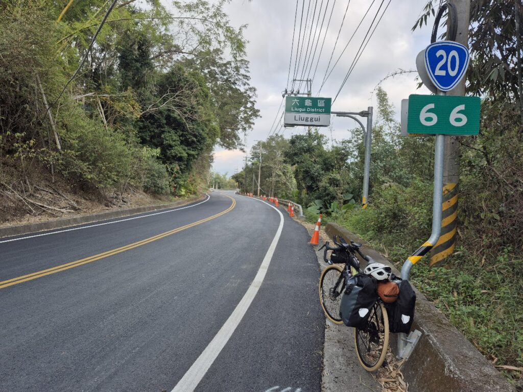
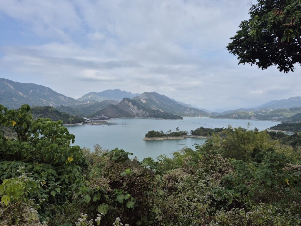
Now 50km into the ride, the No. 3 intersects with Provincial Highway No. 20 (the South Cross-Island Highway #005), one of the best roads in the country. There are two climbing sections ahead. The first is short with good views of Nanhua Reservoir (#062) off to the left and gets you into the town of Jiaxian, famous for its taro products and lots of other food options. From here, the rider has the last, but toughest ascent of the day up to 600m. This is rewarded with a great descent down to Laonong village and the last 7-11 on the road.
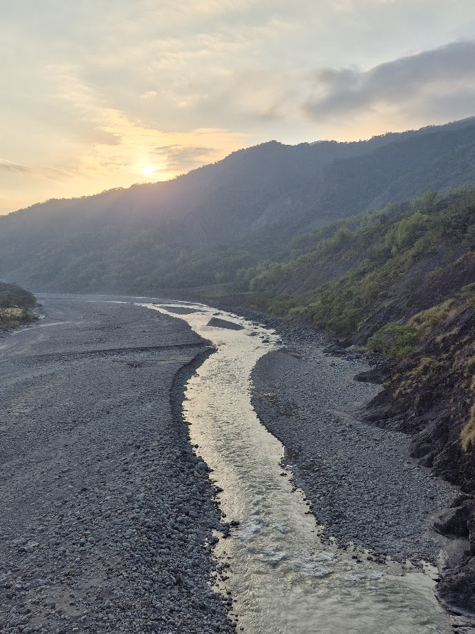
The No.20 intersects with Provincial Highway No.27 here, and now you are on the home run. After 25km on an undulating road parallel to the Laonong River, you’ll reach your destination: Maolin, a Rukai Indigenous area with accommodation and food options. This part of Kaohsiung is popular with locals for its abundance of waterfalls and the largest butterfly migration area in Taiwan.
As stated earlier, the location where this ride ends, as with the start location, is not convenient for public transport. The nearest train station is Pingtung, some 30km away, or access/exit can be gained by following the route in #044 of our series.
One Reply to “#078 – Tainan to Kaohsiung Traverse”
Comments are closed.