Location: Taipei/ New Taipei/ Yilan
Distance: 72 km Elevation Gain: 1000m
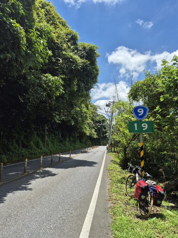
Anyone travelling around Taiwan by bike must spend at least part of the journey on Provincial Highway No. 9. It is an important highway across eastern Taiwan from Taipei to Fangshan in Pingtung This provincial highway, at 453.851 km long, is the second-longest provincial highway in Taiwan and passes the regions of Taipei City, New Taipei City, Yilan County, Hualien County, Taitung County and Pingtung County.
In two previous posts, #027 and #053 of our series, we covered the east and south. In this post, we record the northern section from Taipei to Yilan. For those dependent on public transportation, we recorded the ride starting from Taipei Main Station in the center of the city. Turning right (east) from the station, it’s just a 5-minute ride to the 0km marker of the No. 9.
This used to be one of the busiest and most dangerous roads in the country; it was the major artery connecting Taipei to Yilan before Freeway No. 5 Snow Mt. tunnel was opened in 2006.
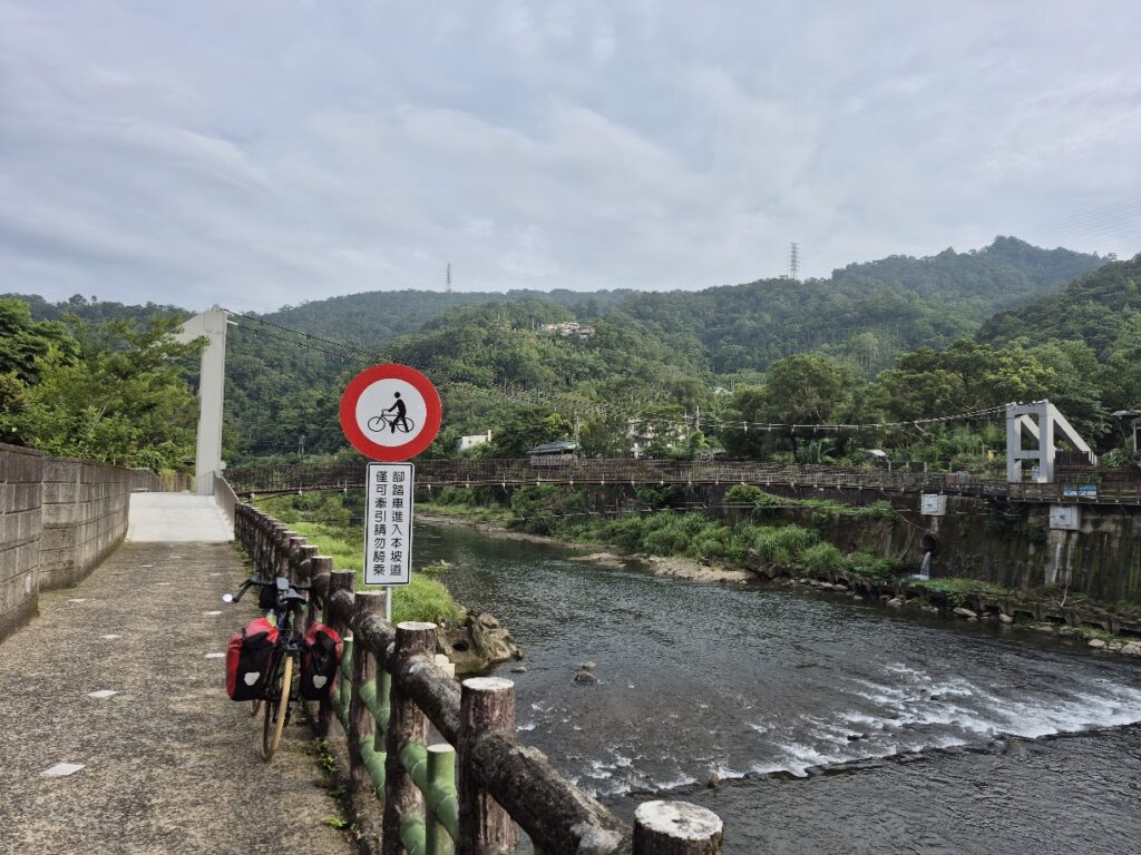
Naturally, there are several kilometers of flat urban sprawl to Bitan district to get through before the rider leaves the city behind and the fun begins. After 12km on the No. 9 you leave the city behind and get to the more interesting part of the ride. The road surface is perfect as you start the first ascent up to 550m. The gradient is mostly 5 – 6% over a distance of 15km. As the road is wide, despite dense foliage, there is a lot of exposure in summer. Fortunately, there are a few coffee shops along the way.
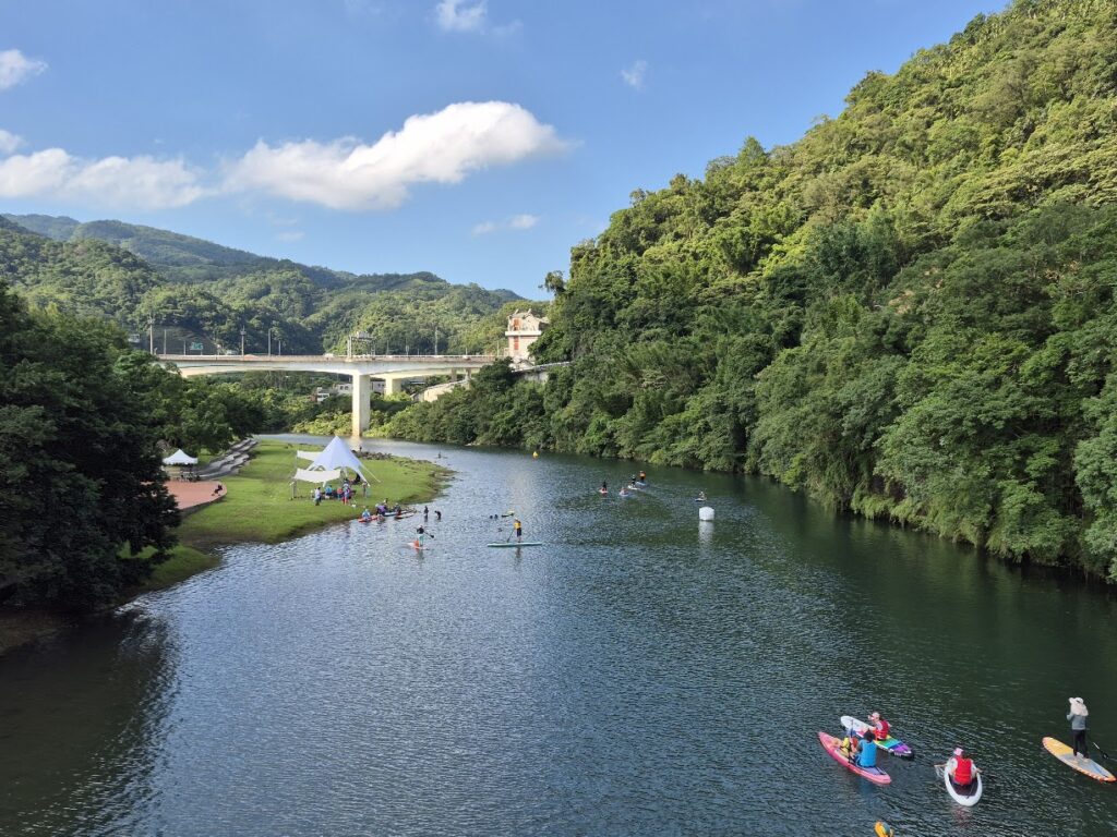
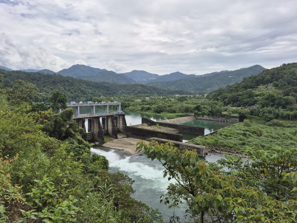
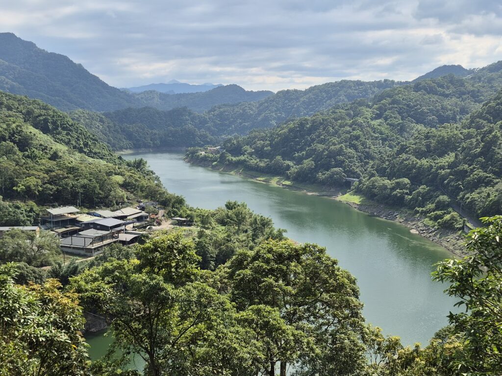
Once past this section, there’s a really nice downhill to Pinglin. At this point, if you keep your eyes to the right, there are great views of the Beishi River and Feitsui Reservoir. This is a popular tourist area famous for tea and day trippers rolling in from the city. Plenty of restaurants and convenience stores to pick up supplies.
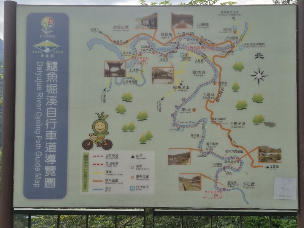
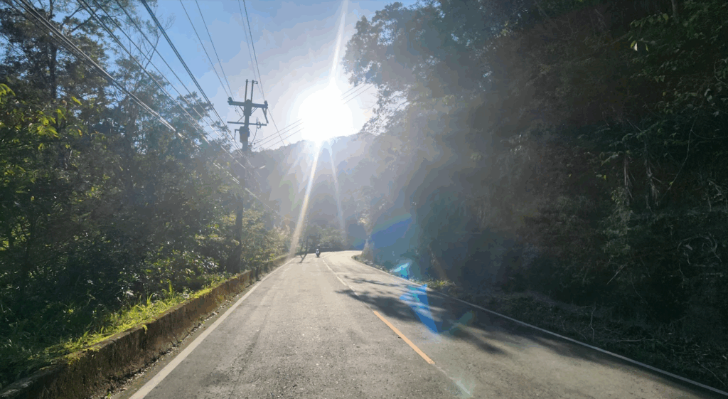
After Pinglin, on this occasion, instead of just following the No. 9, I took a detour for 12km on the Daiyujue River Bike Path. This runs parallel and is an excellent way to get off the main road for some different scenery. Back on the main road, you start ascending the second climb up to 500m. This section is generally less busy as you move further from Taipei.
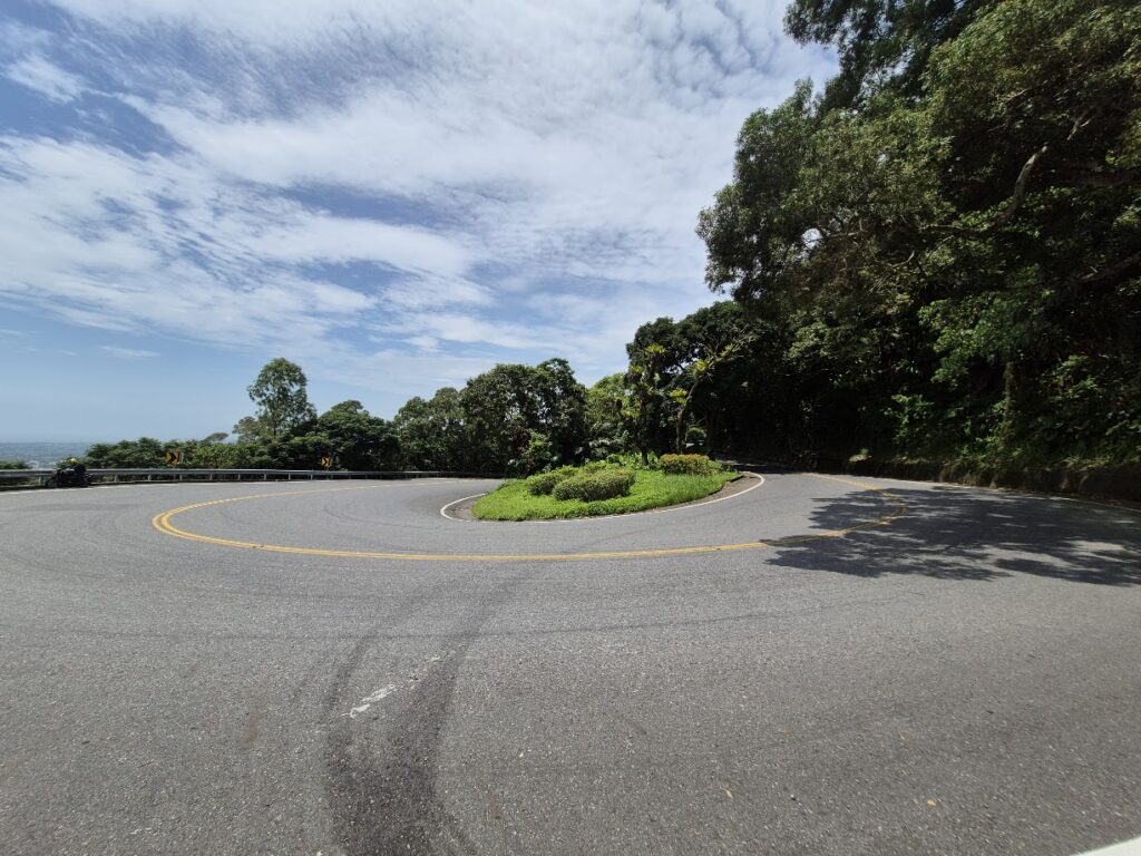
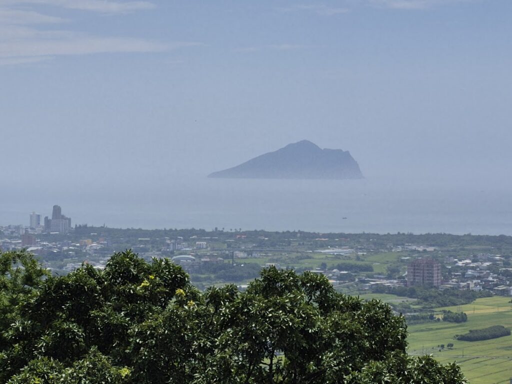
There is a lookout at the side of the road here where the plains of Yilan and Turtle Island become visible. You now have a 12km rocket downhill to Yilan. Locals call this part the road of ‘9 turns and 18 bends’.
When I first rode this in the early 2000s, I couldn’t understand why it was littered with ghost money – used in temple ceremonies. People would chuck wads of it out car windows or from scooters. Later, I found out that back in the good old days, this area was notorious for accidents. So, the superstitious had to make offerings to the Gods.
I suspect driving slower or more carefully didn’t occur to them as being a better deterrent against accidents. After the descent you only have 10 – 12km on the No. 9 to get to central Yilan.
Is there a preference for doing this road from west to east or vice versa? Well, the simple answer is no, and it is going to be determined by the route you decide on to circumnavigate the island. One piece of advice I would give is to avoid it at all costs on weekends. The road is practically a race track for big motorbikes and scooters.
This is the preferred road to take for anyone doing Cycle Route No. 1 around Taiwan, but I am of the opinion that it would be a mistake to miss the north coast, which is excellent and covered extensively in our post #059.