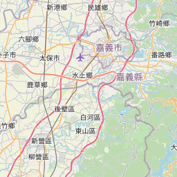
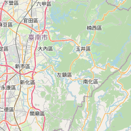
Location: Kaohsiung/Chaiyi
Distance: 100km Elevation Gain: 3,000m
Provincial Highway No. 29 was at one point PH No. 21 with plans to connect the north and south sections. We have dedicated two posts to the No. 21 which can be found in #007 and #054 of our series.
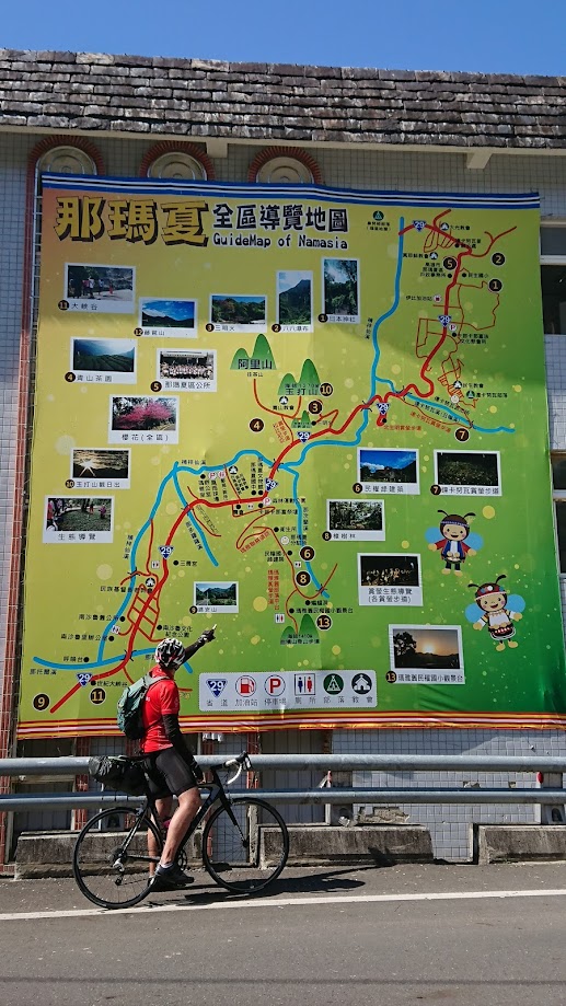
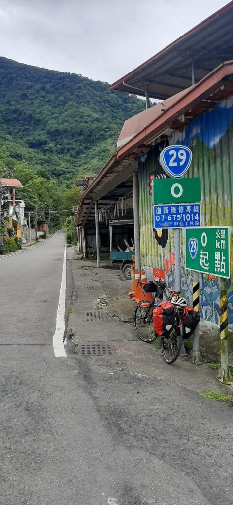
Once it was finally accepted that the north and south parts of the No. 21 would never be connected the southern section was renamed the No. 29 in 2014. From Namaxia to where it terminates in Linyuan on the coast it is 112km. The southern part is heavily industrialized and the least desirable of locations to ride.
In this post, we are covering the section of the No. 29 from Jiaxian to Namaxia in Kaohsiung. Since this is a dead end the only way for the rider to proceed north is via Chashan and up to Longmei in Chiayi county.
Access to this area without your own transport is complicated. The nearest train stations are Jiuqutang in Kaohsiung or Tainan some 50km away. With Tainan as a starting point, you can reference #005 in our series, The South Cross-Island Highway to access the area. From Kaohsiung City take any road east until you reach the banks of the Kaoping River to get onto the No. 29. This section of the road is covered in #044 of our series.
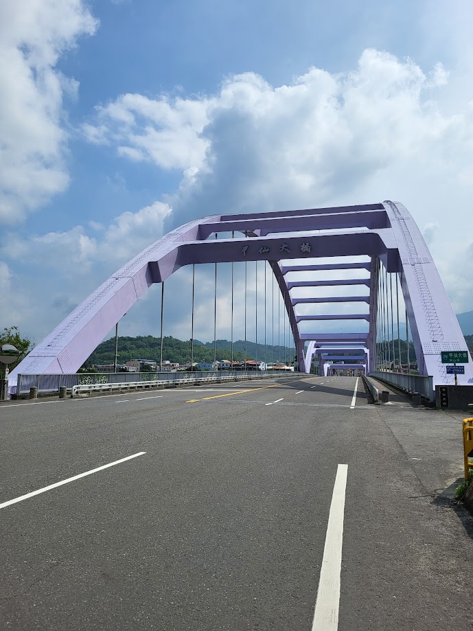
Jiaxian is at the 35km marker on the No. 29, and the 56km marker on the No. 20, at an elevation of 200m. At this intersection, there is a large purple bridge into the town center. There are lots of shops and restaurants here to stock up.
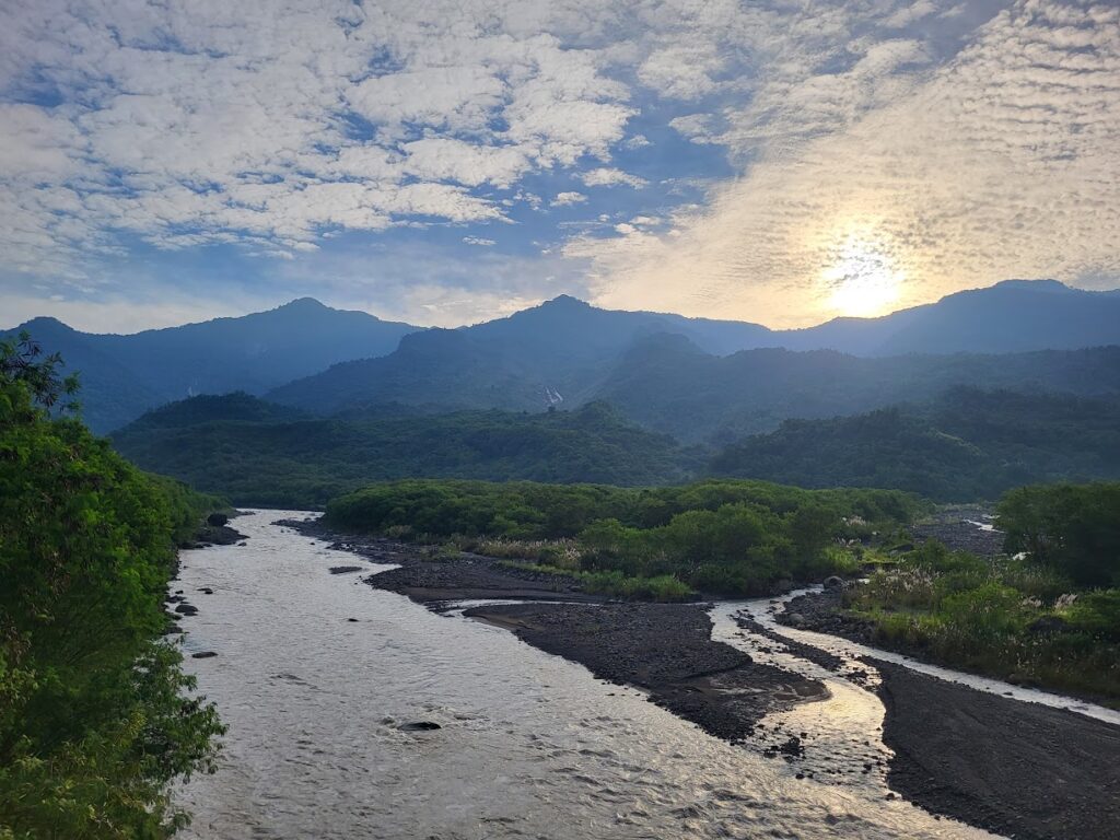
Past this point, the road starts to rise gently, well surfaced and not so well traveled. In general, only locals use the road to commute between villages. The road runs parallel to the Qishan river and there are at least a dozen bridges to cross as you head north. All of these bridges were built post-2009.
Apart from the amazing scenery on the road, the rider will very soon be aware that this was the area worst affected by Typhoon Morokot in 2009, known locally as the ‘8/8’ typhoon reflecting the date it occurred.
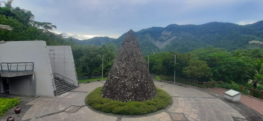
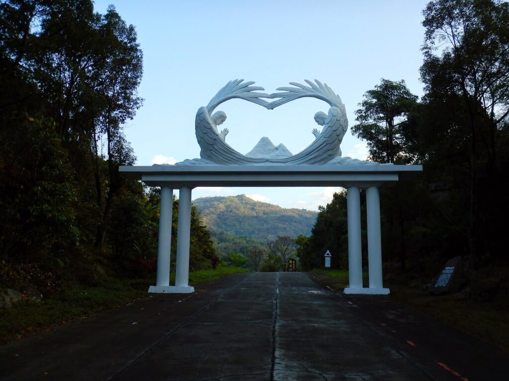
About 10-12km up the road there are two points of interest that are worth visiting – the Xiaolin Memorial Hall is first. This building has an excellent display documenting the devastation of the typhoon. A few kilometers after this there is the Xiaolin Memorial Park. The park was completed in 2012 to commemorate the 462 residents of Xiaolin Village who were buried in a landslide on the night of the 9th of August 2009 as a result of the typhoon.
Just a few kilometers up the road from this another point of interest is Holy Mount Zion, home to a fundamental religious group. This has a fascinating history and is well worth a visit, but it is a detour up a steep hill off the main road.
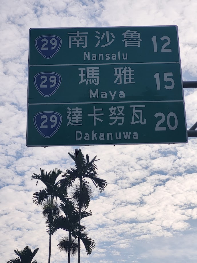
As you head north you will enter 3 Bunun indigenous villages, formerly known as Sanmin, now renamed by the indigenous as Nansalu, the second village is Maya and the last village is now known as Dakanuwa. The last village has a 7-11 and some small restaurants.
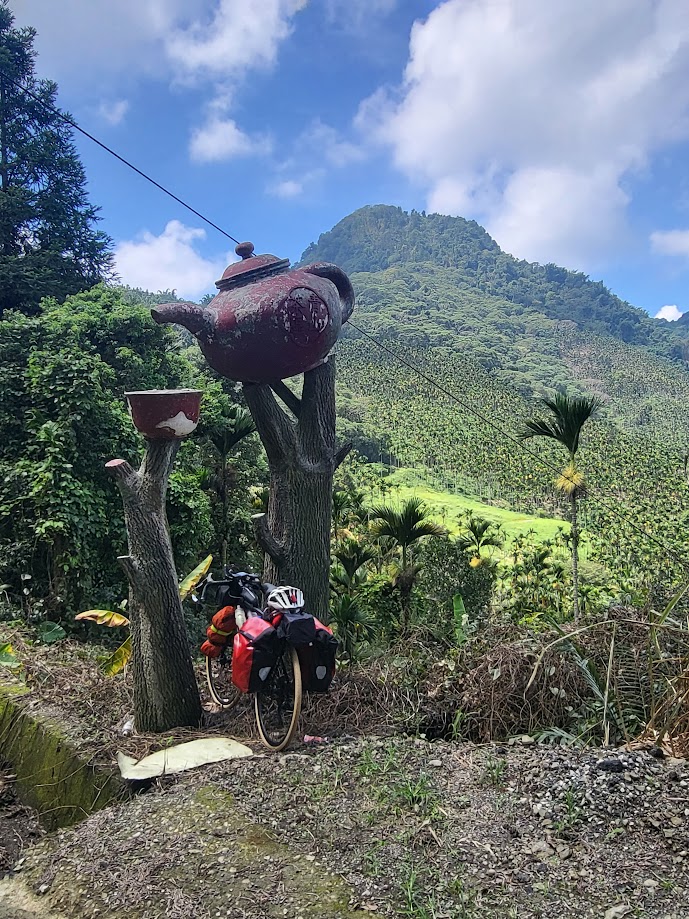
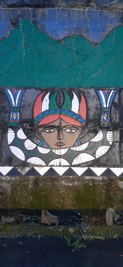
If you pick up supplies here you must now backtrack a few kilometers for the turn-off to Chashan village which is located at the 17 km marker along Qingshan Lane. (on some maps it’s marked as the No. 129-1 road) This road has a fairly steep ascent up to 800m before you descend to Chashan which is at an elevation of 400m. This is a picturesque village with lots of wood carvings and indigenous art. There are a few shops and guesthouses here.
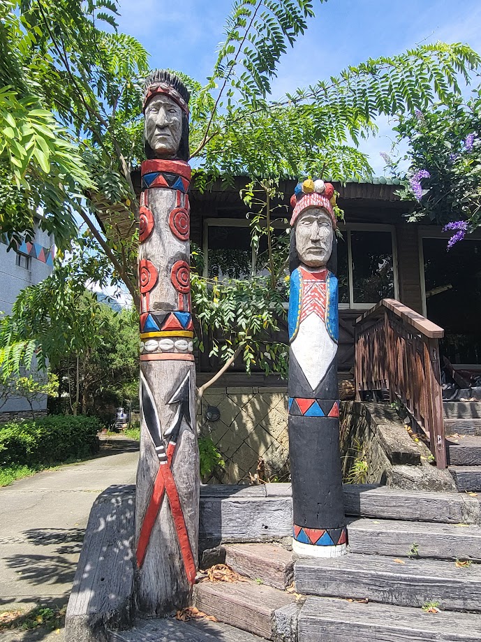
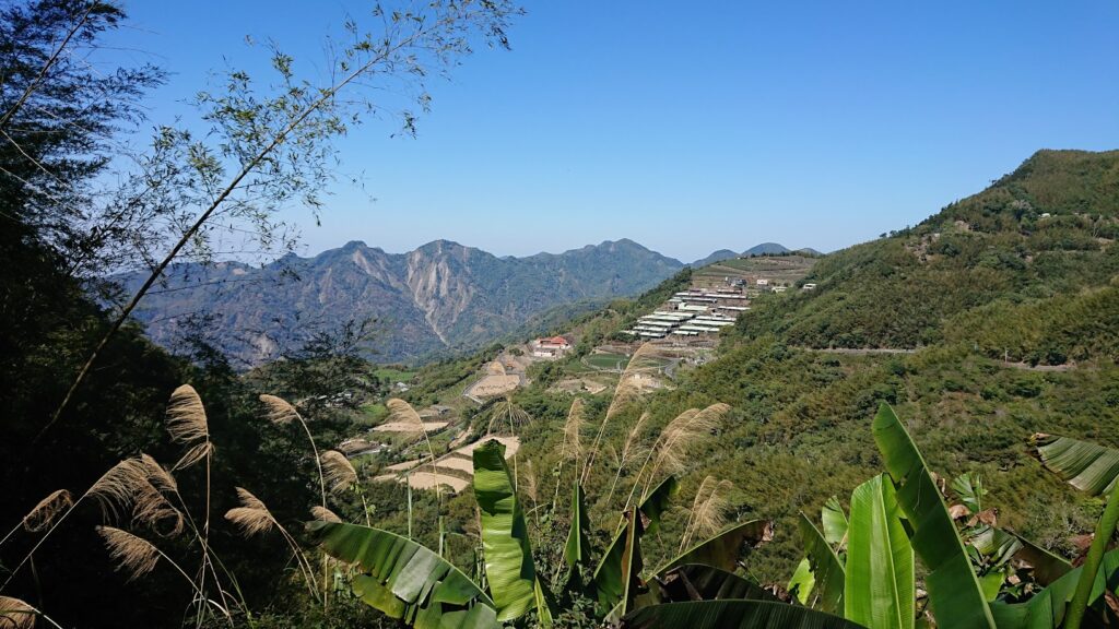
This road is definitely one of the highlights of the ride. As it ascends there are excellent views over the surrounding mountains. It’s a very narrow winding road with a few tea plantations along the way.
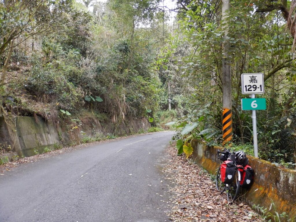
The last leg of the trip is to get from Chashan to the road destination at Longmei. This is a great workout on the bike. The road drops a few hundred meters into the valley before the last steep ascent. A major point of interest along this section is Danayigu Eco Park. There is an impressive suspension bridge that makes for a good photo opportunity.
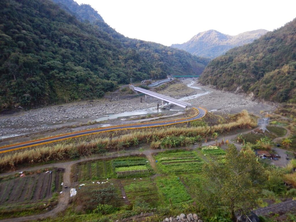
From Chashan it’s 27kms to Longmei and ascends up to 900m before it intersects with Provincial Highway No. 18 (AKA ‘The Alishan Highway) featured as #006 in our series.
