Location: Taitung/Pingtung
Distance: 60km Elevation Gain: 650m
There are three Provincial Highways in Taiwan that run the length of the island from Taipei to Pingtung – the No. 1 is west coast and best avoided by cyclists, the No. 3 runs parallel to the west side of the central mountains and has some excellent riding. Finally, there is the No. 9 which travels down the east coast to Hualien, through the Rift Valley to Taitung, and terminates with a traverse of the central mountains ending on the west coast in Pingtung.
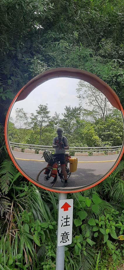
This road may seem an unlikely route to include in our Top 100, but it is of primary importance to anyone cycling around the island or wishing to traverse from Taitung to Pingtung or vice versa. There is no other option available. In days past it was one of the least pleasant rides with a lot of traffic. However, since the completion of the new No. 9 bypass and tunnel the old road, now known as No. 9E is an enjoyable route.
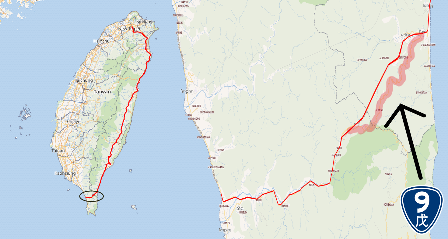
In the following description, we cover the section from Dawu train station in Taitung to Fangliao train station in Pingtung covering a distance of 60 km. After leaving the station the rider gets onto the No. 9 for a 10km, mostly flat roll down the east coast. There is no shortage of shops to pick up supplies. At Daren town (there is also a train station here, but only local trains stop) veer off to the right and pay attention to where the No. 9 and 9E split. There are signs directing scooters and cyclists to turn left onto No. 9E.
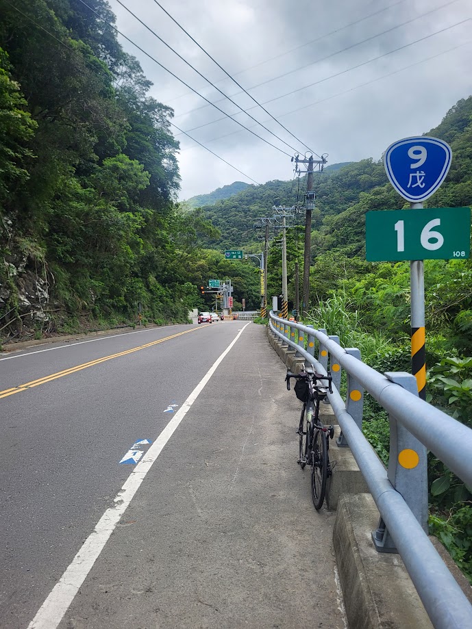
This is the start of a great 12km ascent on a perfect surface with very few cars or other vehicles to contend with. Eyes right all the way up for excellent views of the surrounding mountains. This is the most southern main road to cross the Central Mountains, locally known as the ‘Nanhui’ and not to be confused with the Southern Cross-Island Highway – ‘Nanheng’ (#003 in our series)
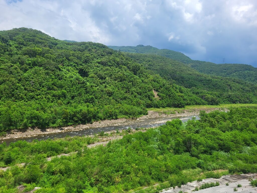
The gradients on the climb are mostly under 10% and strong riders will hit the top in 40 – 45 minutes. There is a huge tower decorated with indigenous art which looks like it might have been constructed as a fire look-out. This is Shouka at 480m, the top of the climb and the boundary between Taitung and Pingtung counties. There is a cycling rest stop here with toilets and a free water filling station.
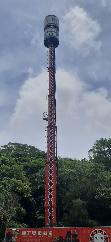
The No. 9E continues for another 4km on the descent down to the west coast before it rejoins the No. 9, the primary road connecting Pingtung to Taitung is busy, so caution is advised at weekends. There are a couple of convenience stores along the way. On the left there is a turn-off for Shuangliu National Forest Recreation Area which is worth a visit and shortly after that the trailhead for Nunai, Mt., a Small 100 Peak.
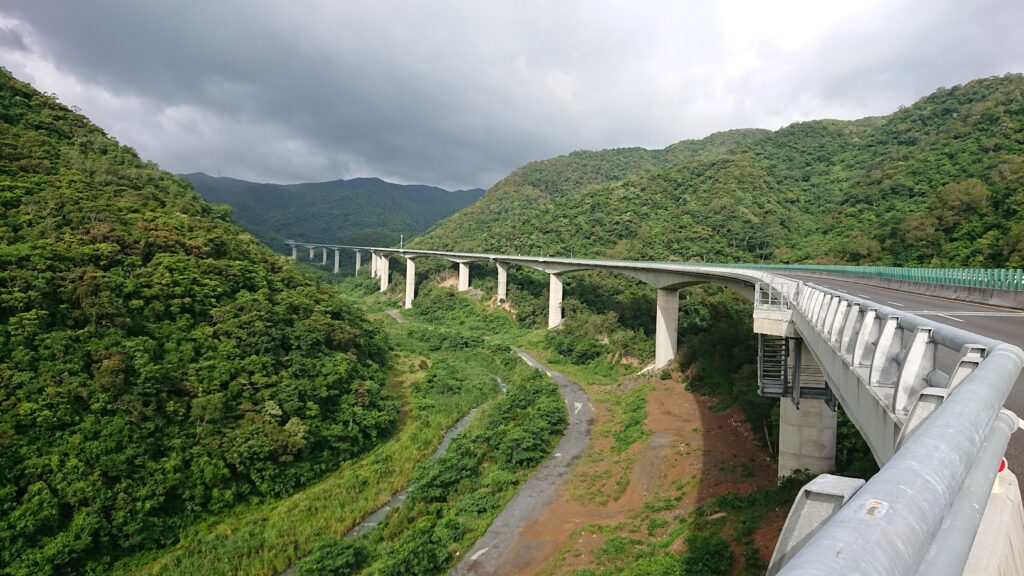
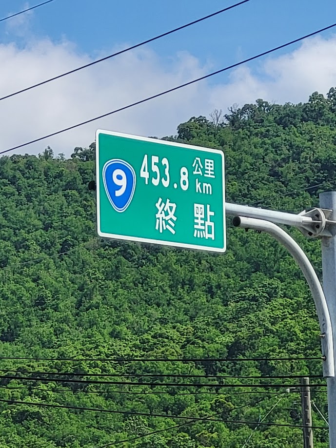
Otherwise, it’s an enjoyable 20km downhill to Fenggang, where the No. 9 terminates and joins Provincial Highway No. 1. From here it’s a mostly flat 20km ride up the west coast to the town of Fangliao, this is the last stop for the train traveling over to the east coast.
I would add a note of caution if you are doing this ride in winter. A phenomenon known locally as the ‘down mountain wind’ blows here in winter. The wind can gust so strong that it has brought me to a complete halt on a touring rig.

Take a look at the GPS information here: