Location: Nantou
Distance: 41km Ascent 850m
Provincial Highway 16 in Nantou County, is one of the few roads that penetrates into the Central Mountain range of Taiwan. It is a shame or perhaps an environmental blessing that plans to expand the road over the mountains were abandoned. It would have been an extremely difficult construction project that might have never seen a successful completion, so in this post, we unfortunately will have to do an out-and-back, but it is still a superb ride. This 41km route has stunning landscapes, fascinating side paths, and plenty of photo-worthy moments. I’ll cover everything you need to know, including logistics, road conditions, and must-see spots.
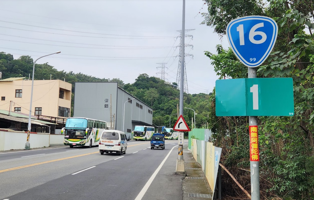
Road No. 16 begins on the outskirts of Mingjian in Nantou County. If you’re taking the train, Ershui Station is your stop. Most riders will kick off from nearby areas like Taichung City or any nearby township in Nantou County. The road transitions from Provincial Highway 3 into 16, which starts flat, this is a well-traveled route with a lot of vehicle traffic.
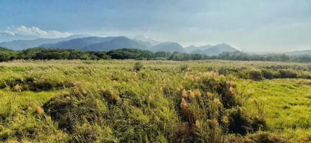
If you’re riding during the winter, a tailwind will give you a nice boost as you move towards Shuili. A slight detour is mentioned in the following paragraph, but if you want to stick to No. 16 it is a straight shot to Shuili. It’s about 15 to 16 km of flat, easy terrain with a dedicated scooter lane. Overall the scooter lane feels generally safe, but there are two tunnels, so pay attention to traffic during the moments in the tunnels. This section of the ride is perfect for building speed while soaking in the views of the Zhuoshui River and the surrounding mountains.
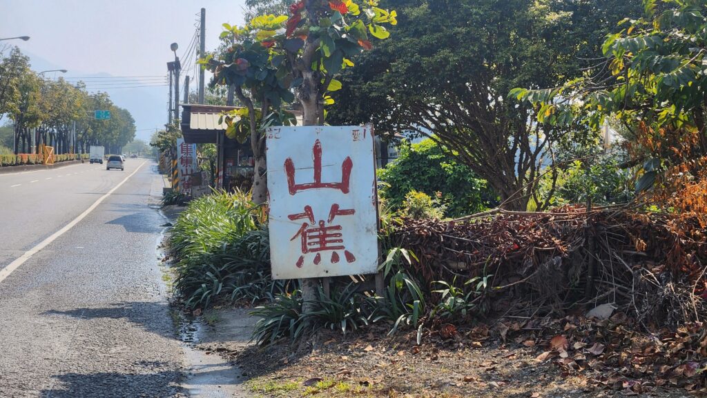
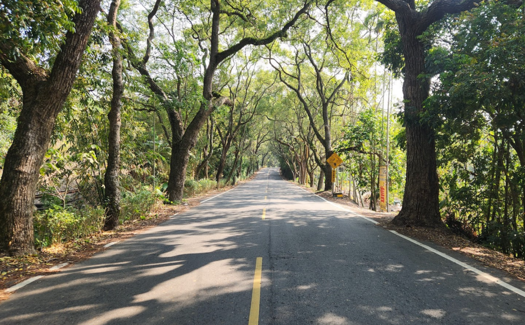
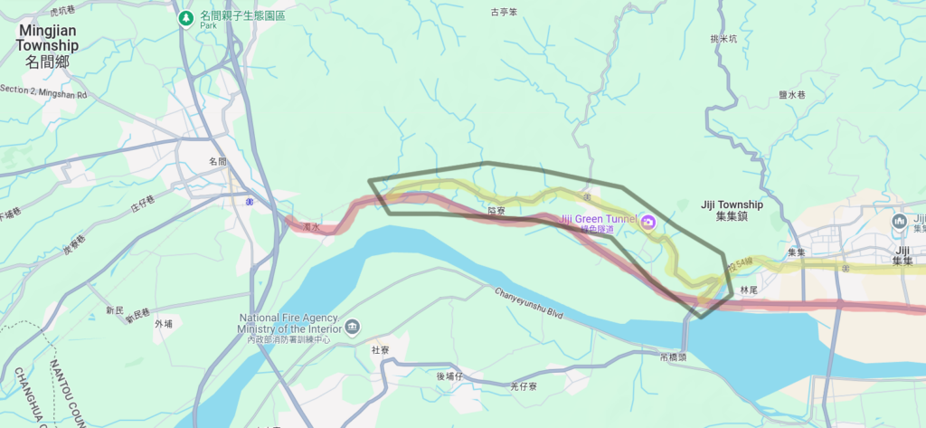
For a quieter, more picturesque alternative, consider hopping onto County Road 54, also known as the Jiji Green Tunnel. This detour runs parallel to No. 16 and offers a mild 2-3% climb through shaded paths lined with trees. You’ll bypass the busier sections of No. 16, enjoy some peaceful cycling, and eventually merge back onto 16 near Shuili. Along the way, you might spot the old Jiji train line, which is still in use and runs every day.
Here is a simple map of the detour mentioned. The yellow highlighted section is County Road 54 while the red section is No. 16. You have the option of linking back up with No. 16 near Jiji or you can continue up No. 54 for a bit more elevation gain which will eventually connect to Shuili and put you back on No. 16. I often only do the first section of No. 54 as shown here in the map.
Once in Shuili you might want to stop at a convenience store, there are plenty to choose from, so a quick drink or a bite to eat would be a wise decision. From Shuili, the real adventure begins. Following the signs for Dili, the road turns hilly with manageable inclines of 5-7% and some brief descents. The views here are jaw-dropping: rolling mountains, wide open skies, rustic farmhouses, and glimpses of the Zhuoshui River below.
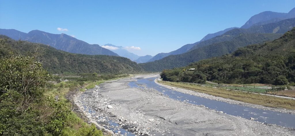
The first proper village you’ll hit is Dili, a great place to take a breather. If you’re feeling adventurous, just before Dili you could detour onto County Road 97 for a challenging climb up to Ita Thao Village near Sun Moon Lake. But let’s stick to No. 16 for now.
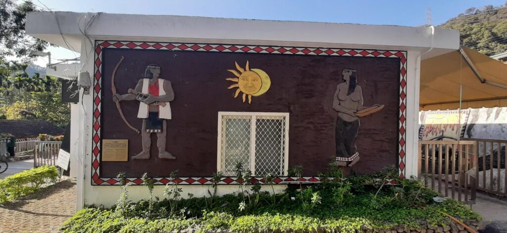
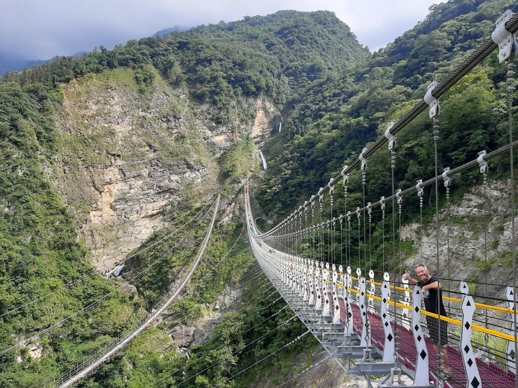
While you are in this area, consider exploring a popular tourist spot: The Rainbow Bridge, and the Double Dragon Waterfall. These hidden gems are a bit off the beaten path, and require some steep climbing and a full-day commitment. But the reward? Stunning vistas and a serene atmosphere you won’t forget. I personally have not ridden my bike to this location, take a look at these photos for proof as it might be a day to put on your menu.
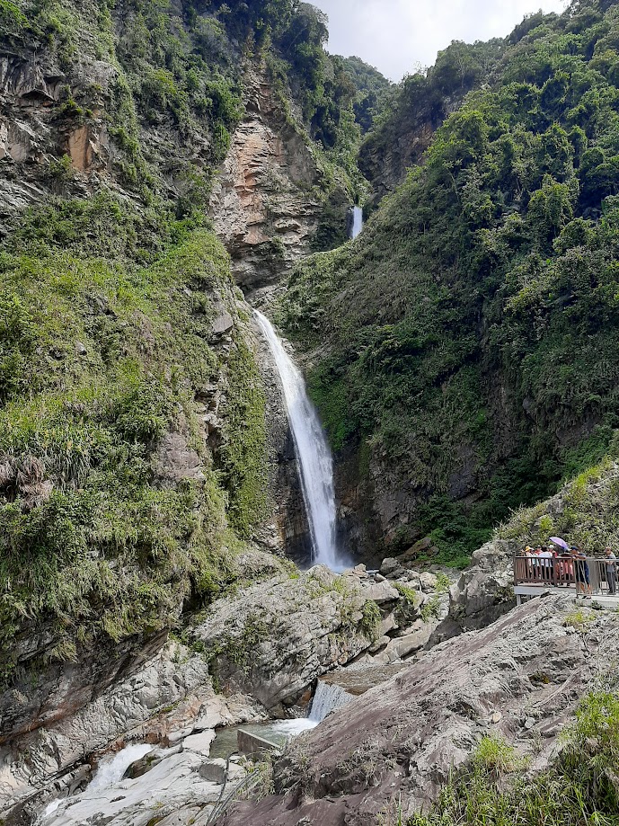
Key information about this area: The Shuanglong (Double Dragon) Waterfall Trail Opening Hours: Open 24 hours. The waterfall trail takes about an hour to walk – useful information if you decide to try and ride to this location.
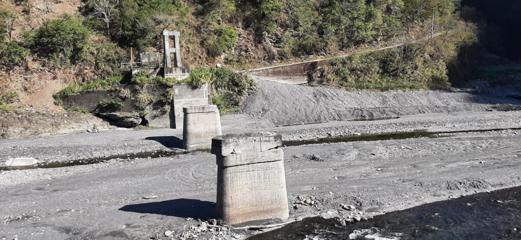
The end of No.16 brings you to the broken Sunhai Bridge which was destroyed in the 2008 Sinlaku typhoon. Also, you will find yourself at the start of the Danda Forest Road – we covered this area in post #013 – Seven-Colors Lake. Heads-up: this road, you need a mountain bike and access requires a permit. If you’re up for it, you’ll need to cross a river (which can be tricky depending on the season) and tackle some rugged terrain. But if you’re just here for No. 16 the end-to-end road bike experience, the journey ends with a 41+ km trip featuring 850 meters of elevation gain—challenging but doable. However, at the end of the No. 16, you will need to turn around and head back or venture up to Sun Moon Lake, making this route a solid day possible approaching 150 km with over 1500 meters of elevation gain, depending on your start location.
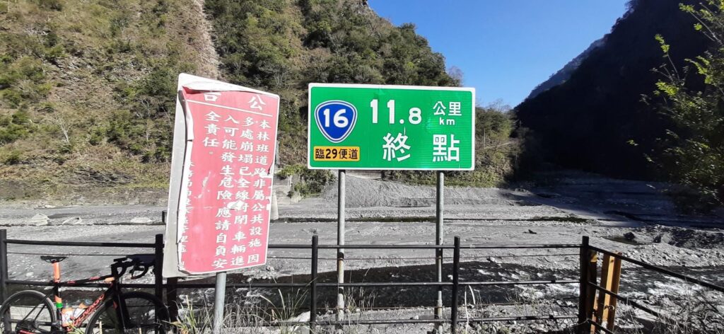
Road Conditions: They vary! Some sections might have fresh asphalt, while others could be rough, especially after bad weather. Generally, a road bike works fine for No. 16, but you’ll need a mountain bike if you intend to take on the Danda Forest Road.
Best Season: Winter offers better weather, with less rain and pleasant temperatures, making the ride more enjoyable and safer.
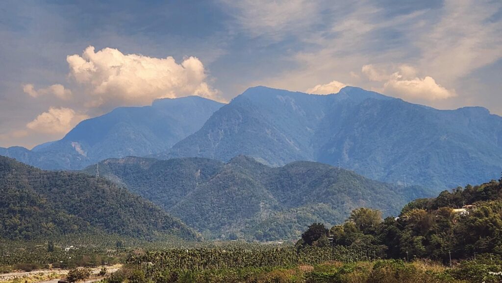
Why Provincial Highway 16 should be on your list: If you’re in Taichung or Nantou and looking for a ride that combines scenic views, a touch of challenge, and peaceful mountain vibes, No. 16 is a must-try. Whether you’re here for the epic climbs, the quiet detours, or just the joy of exploring off-the-beaten-path Taiwan, this journey won’t disappoint.