Location: Hualien/ Taitung
Distance: 180km Elevation Gain: 1,600m
In our series, we have decided to cover two roads that connect Hualien to Taitung: The Rift Valley, County Rd. No. 193, (#048 in our series) and in this installment Provincial Highway No. 11, which follows the coast and is known locally as the Hua-Tung. Although not major climbs they are both important routes to access several of the roads we have outlined and essential connectors for anyone traveling around the island.

Hualien and Taitung are primary areas for the indigenous groups of Taiwan and six of them call Hualien County home – Amis, Truku, Sakizaya, Kavalan, Bunun, and Sediq. The Amis, the most populous indigenous tribe in Taiwan, dwells in Hualien County. In Taitung, the Pinuyumayan are mainly concentrated on the southern plain of the Taitung Rift Valley, the other two major tribes are the Bunun and the Yami (Tao) of Orchid Island.

In the information below we outlined the course from Taitung to Hualien, riding south to north with the coast on your right is definitely the best way to enjoy it. Having said that prevailing winds might be taken into consideration. In Taiwan, the wind tends to blow from the north in winter and from the south in summer. This is not hard and fast naturally and the rider may well find crosswinds between the seasons.
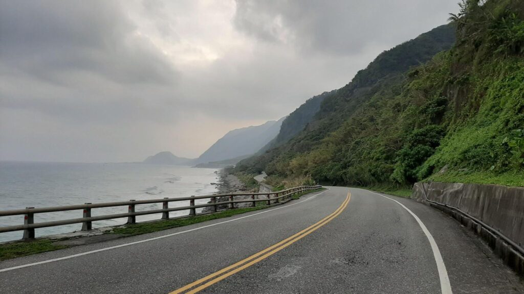
From the south or north, the main train stations in either Taitung or Hualien are convenient starting points for access to the road. From Taitung train station take a right on the main road and this will lead directly to the coast. It would be nice to think that you have some nice flat riding on the coast, but it is a deceptive false flat. Although there are no major climbs in the southern half of this ride it also has to be said that none of it is flat. You are either riding up or down for most of it and there are several hundred meters of ascent in the first 50 – 60 km.
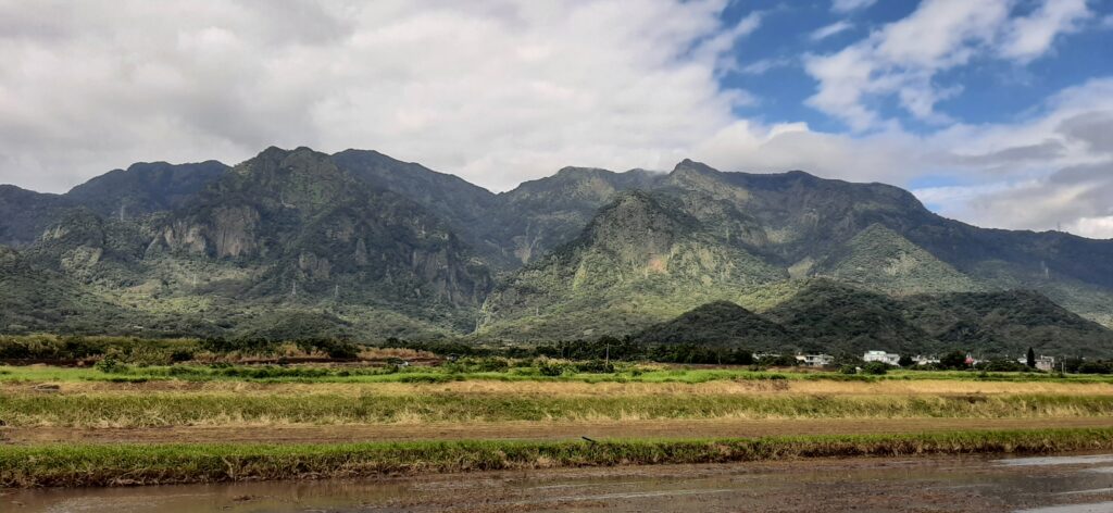
This area is known as the East Coast National Scenic Area and there’s lots of information online pointing out places of interest: here.

Once you get onto the coast it’s a joy ride, a gentle undulating road on a very good surface. This section of the road is the most popular triathlon course in Taiwan, so don’t be surprised if you see a few hundred riders zip past. There is also a national 2-day cycling event, the Hua-Tung Challenge, which follows this route between Taitung and Hualien.
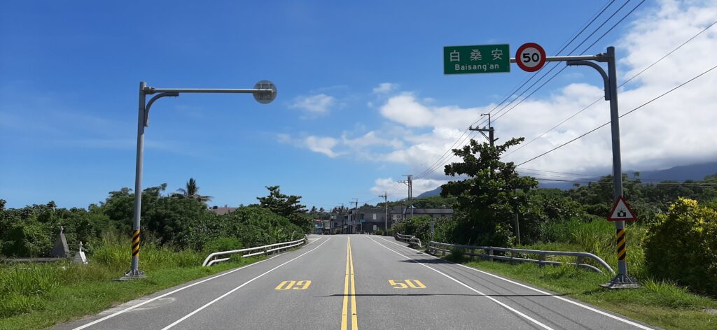
If you are looking for a beach break, then one of the best, Shanyuan, is just 10km up the road. There are several small villages along the way, Dulan is one of the first you come up. There is a turn-off here for Dulan Mt., one of the Small 100 peaks and this area is also a popular surfing spot. The next town is Donghe, most locals stop here to pick up bread/bun dumplings which the town is famous for.
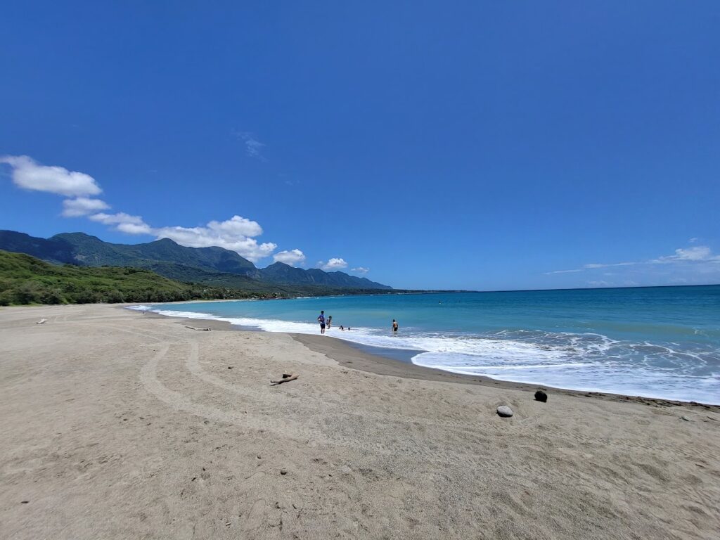
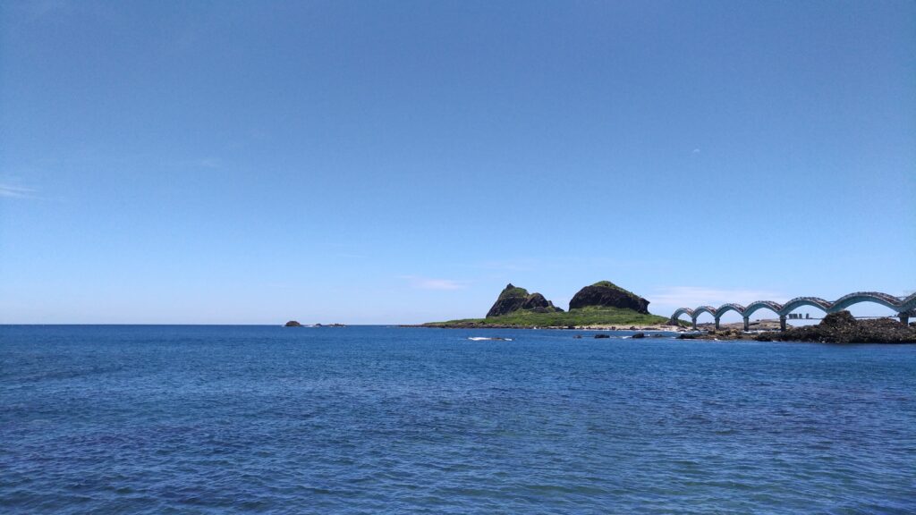
Just past Donghe you’ll see a turn-off for Provincial Highway No.23 which is covered in #036 – Double 23 Loop. The next section of the No. 11 takes the rider to Chenggong, the only major town on the east coast. This is a good place to pick up supplies as there are fewer and fewer shops as you ride north. The main tourist spot in Chenggong is Sanxiantai Island. This is connected to the coast by a humpbacked bridge and is well worth the walkout as it offers great views of the coast. Once you get past Donghe the ride is much more enjoyable as this is the least densely populated area. If the weather is good this is blissful riding. With the coastal mountains on your left and the Pacific Ocean on the right, it’s as good as it gets.
Near Ningpu, there is a connection to the Rift Valley you can read about Provincial Highway No. 30 in our post #037.
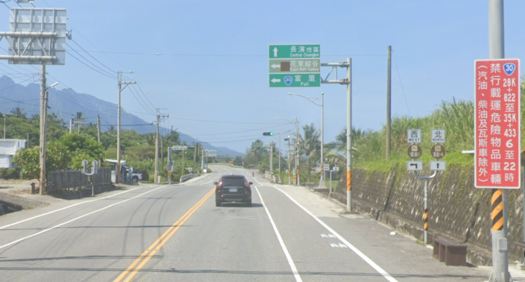
Another point of interest that all riders will stop for is one of the three Tropic of Cancer markers. This one on the east coast is located at Fengbin. Just past this is the turn-off for the Hua 64 mentioned below.

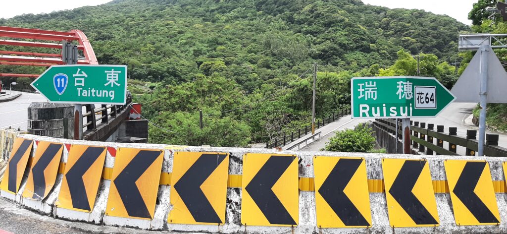
Just after crossing the Tropic of Cancer, you’ll come upon a red bridge. Here, you’ll find another connection to the Rift Valley via Hua 64.
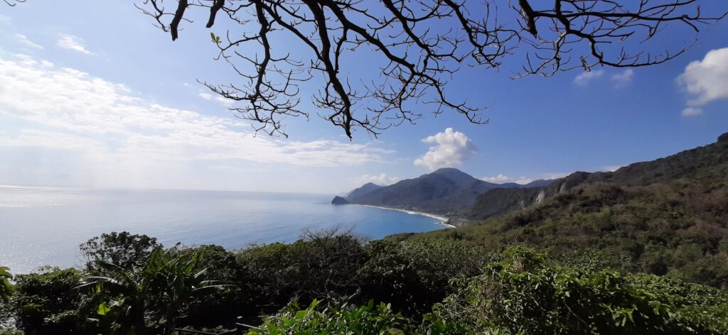
On the last section of the ride, there is only one fairly steep ascent over a distance of 10km, but the gradient is all below 10%. This section of the road is interesting as there are a few old tunnels where the original road hugged the coastline. It’s not possible to ride on these sections, but it is worth the stop to see where the cliffs drop straight down to the ocean.
There are two more turns off to access the Hua 46 and 38-1 roads covered in #038 of our series.
To finish the ride into Hualien City you have to turn off the coast and cross the bridge to get to the train station which is just several km from the coast. At the start of this bridge, on the east side, the No. 11 and County Road No.193 converge – the 193 is #048 in our series.
To continue on up the coast towards Suao refer to #027 – The Su-Hua Highway.