Location: Taipei/ New Taipei
Distance: 145km Elevation Gain: 3,400m
Buddha’s Hand, The Palm of Tathagata, The Taipei Hand ride…regardless of what you call it, this is a massive effort and over recent years has become a rite of passage for any cyclist living in Taiwan. This 145 km/ 3400m route involves ascending into Yangmingshan six times, the fruits of your labor coming in the form of a crudely drawn hand shape on your favorite ride-tracking app. While a picture of a hand on your Strava will be incentive enough for most cyclists, this route is also a highly enjoyable experience with no shortage of man-made and natural views to take in as you burn through 4000+ calories and a dozen 711 sandwiches.

Any cyclist who takes on the hand has a choice to make; clockwise or counterclockwise. The general public consensus seems to suggest that it is better to complete the route for the first time in the counterclockwise direction. This has a few benefits, but it will largely allow you to descend rather than ascend some of the more pitchy gradients. This article will follow the collective advice and assume a counterclockwise perspective.
The most common starting point for this route is the 711 across from the National Palace Museum. It is highly recommended to start as early as possible as you will have the best chance of beating some of the heavy traffic that will be heading up to Yangmingshan National Park. During the summer months, starting early will also allow you the benefit of getting a couple climbs out of the way before the heat becomes too intense.
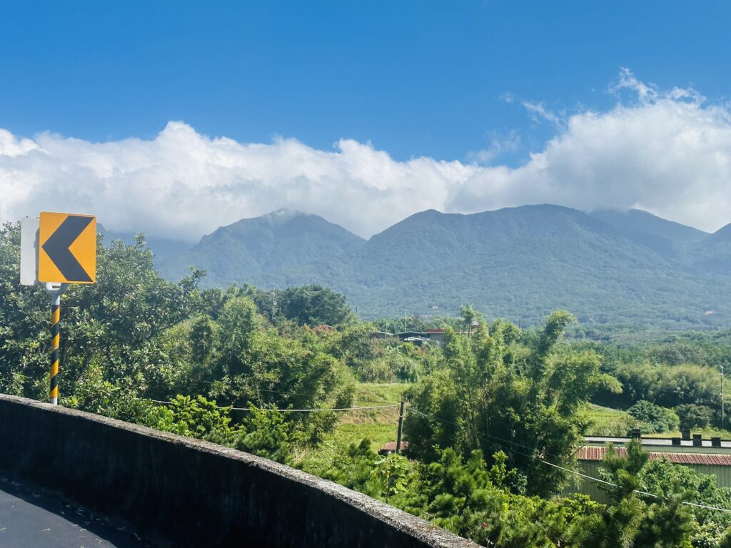
Yangmingshan National Park is home to the largest dormant volcano in Taiwan, Qixingshan. So with the smell of sulphur in the air and the early sun rising you will start on the first (and largest) ascent of the day.
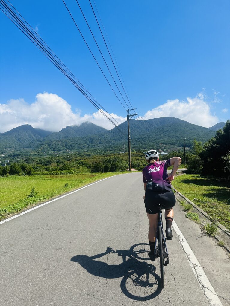
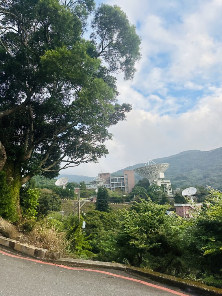
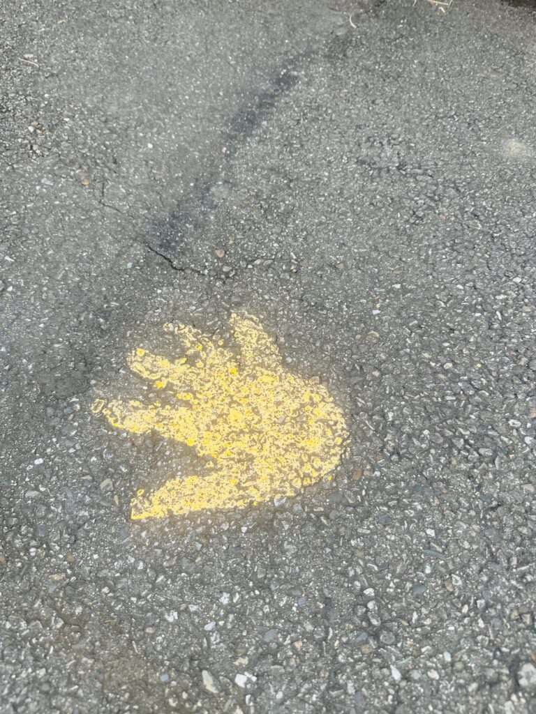
This first climb of 17km/850m will be well known to any cyclist who lives in Northern Taiwan as it is one of the most popular routes up Yangmingshan. It begins by heading East up Zhishan Road for a few hundred meters before turning left onto Lane #71. This is a windy road which takes you through Pingjing village. The most notable feature of this section is the field of massive satellite dishes that scatter the landscape near the International Satellite Communications Center. These large dishes are reminiscent of the final scene in Goldeneye and the public doesn’t particularly trust that they are only used for radio transmissions. It is on this climb that you will first start to notice the spray-painted golden hands that line the entirety of the course. There is an annual ultramarathon that uses this route so the painted hands are maintained regularly. This climb gets steep as you navigate the final switchbacks around Lengshui Visitor Center.
The first few hundred meters of the descent are extremely steep, so proceed with caution as you make a right turn onto Yangjin Road and begin your descent to Jinshan. This is a beautiful descent with interesting views of the volcanic area. Arriving in Jinshan you will be rewarded with your first convenience store break opportunity. It is here that you must make another choice; Family Mart, or 711?
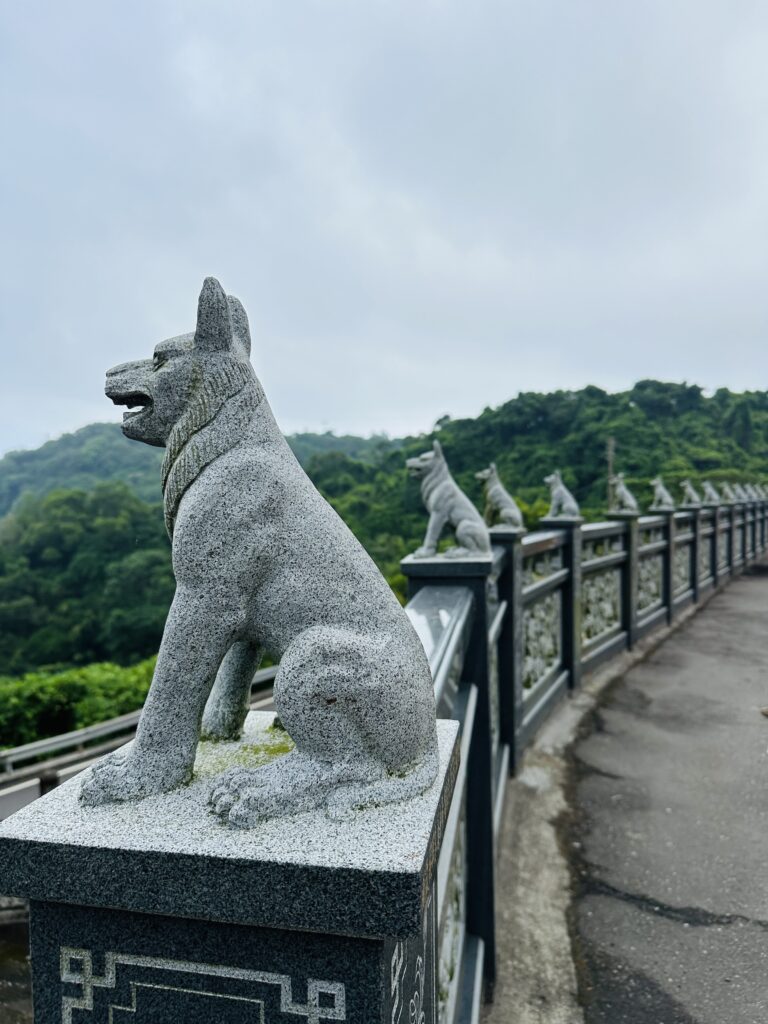
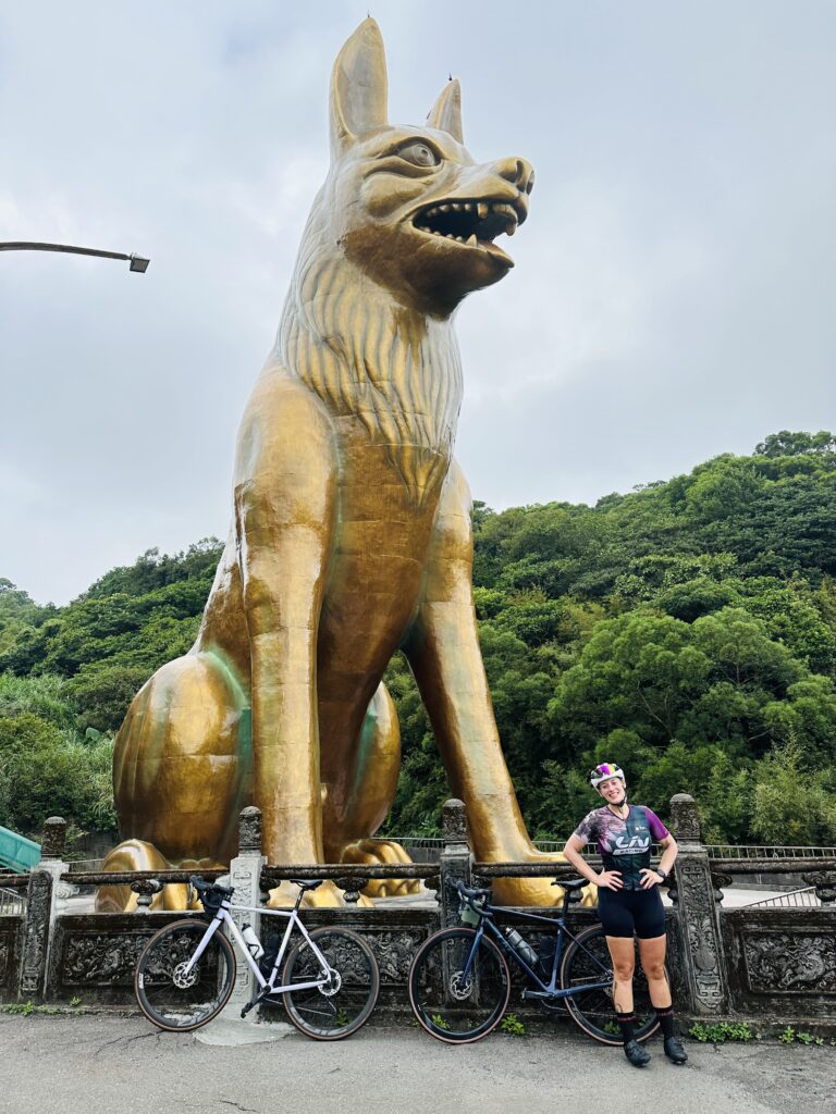
Climb #2 of 6 is a relatively straightforward ordeal involving ascending 300m over 5km heading West up Sanjietan Road 北 22. The highlight of this climb, and possibly the whole day, is the Temple of the 18 Lords and the massive bronze dog statue that towers over it. According to legend, during the Qing Dynasty, a boat carrying 17 people and one dog crashed near the coastline of Taiwan. Everyone on board died except the dog. Cyclists who wish to get some extra luck on their ride can opt to touch the dog. Depending on where you touch, a different fortune awaits (ears for wealth, tail to get a good job, etc…). After taking some photos, you set off on a fun, rolling descent back to the northern coastal road, Highway 2.
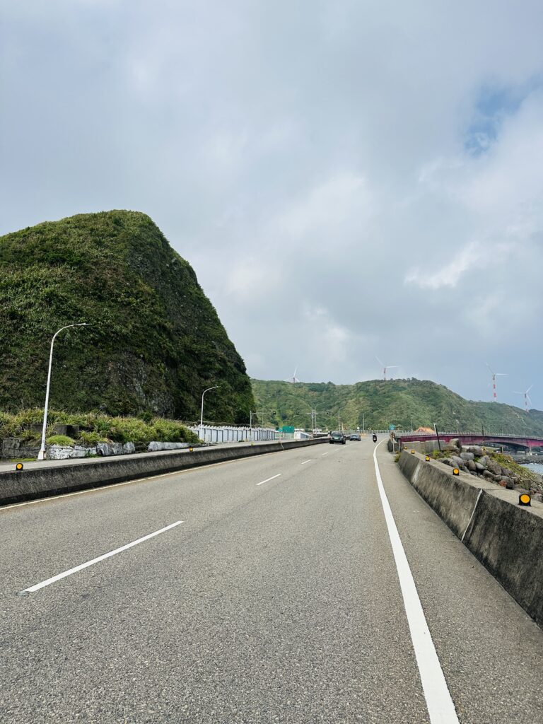
Before starting climb #3 you will go through the small town of Shimen. Here you can replenish food and water at the Family Mart or 711 before heading up the 7 km/ 300m climb on the 北19 which makes up the index finger of the hand. This is another short but fun climb, the highlight being the views of the Shimen Songshan terraced rice fields you will enjoy at the summit. It really starts to feel like you’re a long way from the busyness of Taipei as you weave through quiet farm roads. After descending back to the coast you will pass by Laomei village and the Northernmost point of Taiwan, The Fugui Cape Lighthouse.
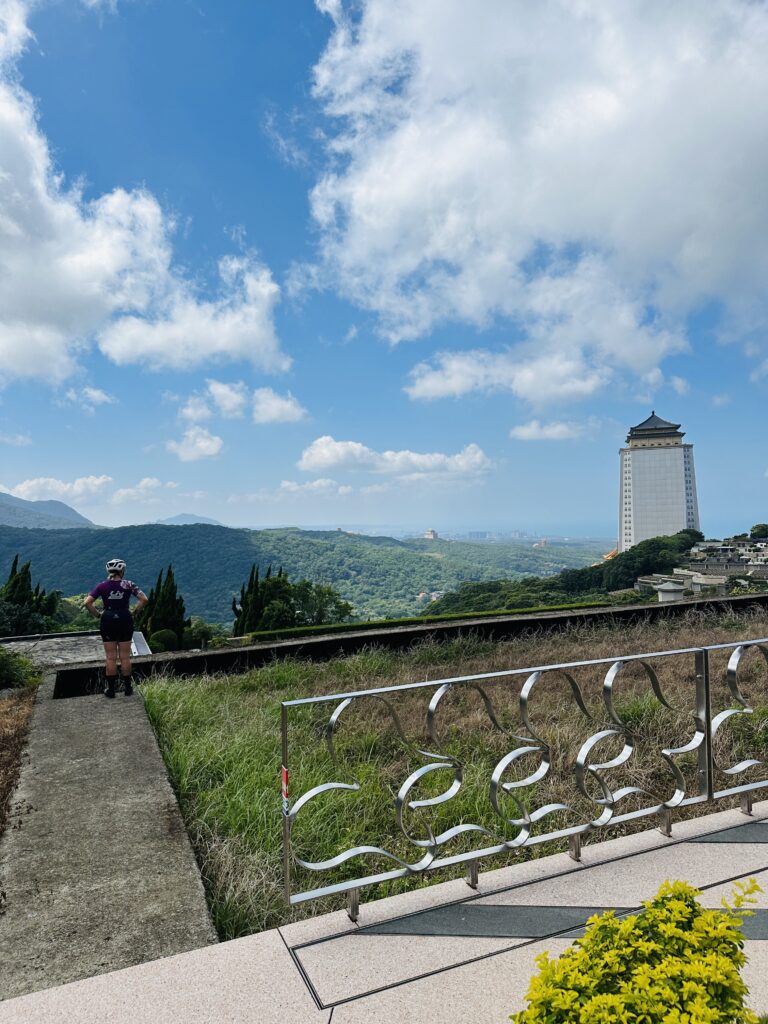
Climb #4 up the 北15 is slightly larger at 9km/ 470m but is one of the most interesting sections of the route. After some grueling gradients, you will be near the summit and see the Fufu Dingshan Shell and Coral Temple. The interior of this temple is entirely made with shells and coral and is worth a quick unclip from your bike. The summit is a beautiful green tunnel of trees and as you begin your descent down the 北11 you will be rewarded with unbelievable views of the True Dragon Temple and Baisha Bay Memorial Park. At this point, your legs will be burning but your spirits will be high as only two climbs remain before you have that coveted picture of a hand on your Strava. Just 1100m of climbing to go!
Before starting climb #5 you will be able to stop in Sanzhi District for a resupply of much-needed calories. Here you will be drawing the ring figure of Buddha’s hand as you start climbing the 300m up road #101. This climb offers little in the way of new views or landmarks but rather provides distant perspectives on temples that you have previously passed on your ride. Possibly a moment for reflection as you near the final climb of the day.
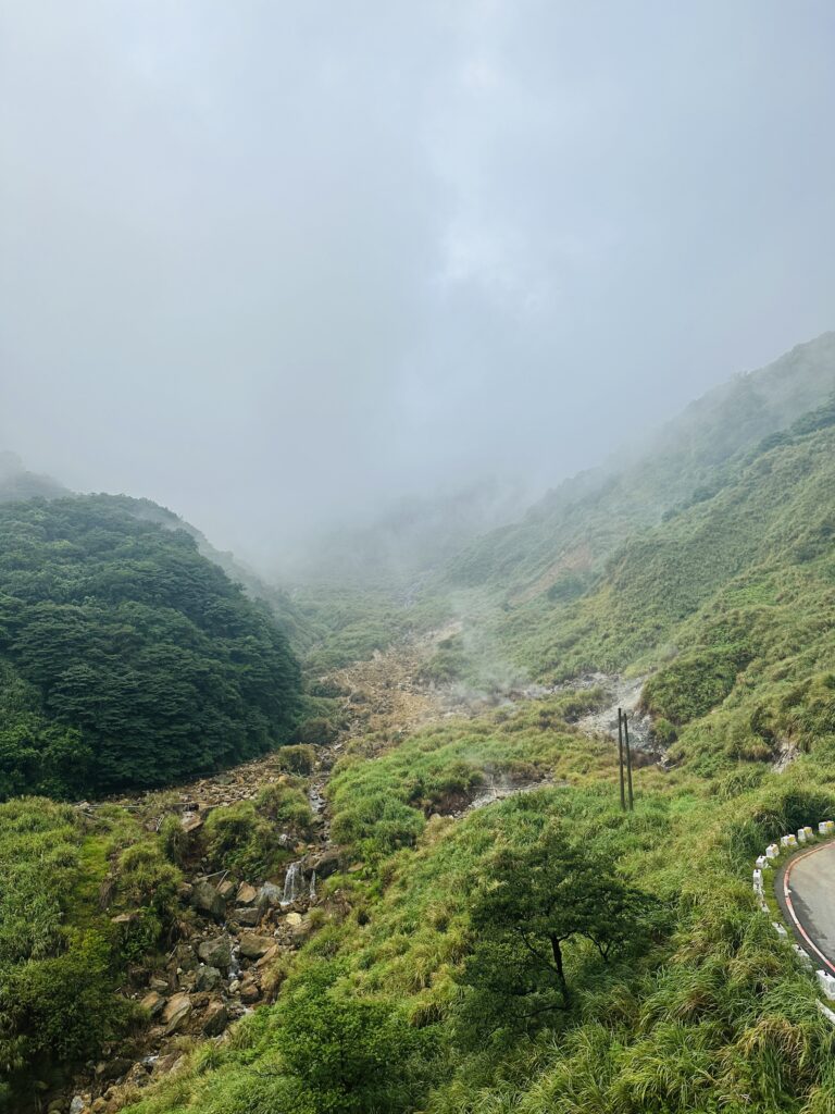
Climb # 6 is the final climb of the day and likely the most well-known. Beginning up the lesser used 北12 you will soon recognize familiar sights as you join up with Balaka Road. This climb is a staple of the Taipei cycling scene and the steady but manageable gradients will be a welcome change from the punchiness of the route thus far. This climb ascends around 800m and brings you to the Erziping Visitor Center. This parking lot is usually packed with cyclists who are taking a break from their long climbs, or preparing to challenge themselves with the Datunshan road extension.

Today, you can skip the extension and enjoy a frozen popsicle at the visitor center before beginning the always unenjoyable descent down Yangjin Road. This descent requires extreme focus and caution as motorcycles and cars whip past you at terrifying speeds. As you click into survival mode you will also be feeling elated at having completed one of the most challenging, but rewarding, bike rides in Taiwan.
Awesome article, well written, love the accompanying photos!!!