Location: Nantou
Distance: 34km Elevation Gain: 1,600m

Xitou and Shanlinxi or Sun Link Sea are both Forest Recreation Areas (FRA) but not National Forest Recreation Areas (NFRA)
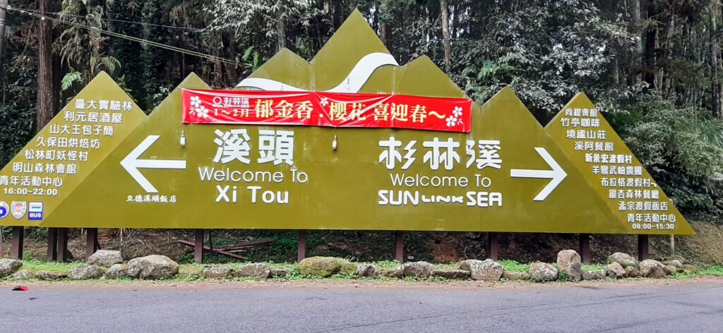
The two closest train stations would be Ershui if traveling from north Taiwan and Linnei if traveling from the south. From either station, the rider must get on to Provincial Highway No. 3 and head for Zhushan Township, an urban township in the southwest part of Nantou County, Taiwan, and off the south shore of the Zhuoshui River.
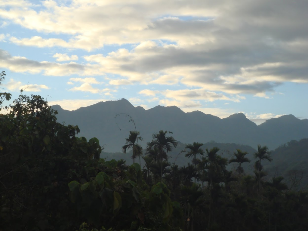
Zhushan, at around 200m elevation, would be the best place to stock up for the first part of the ride. There are numerous shops etc. at both Lugu and Xitou on the way up. From Zhushan on No. 3 head north for 4 – 5km to the 229km marker on Provincial Highway No.3 road.
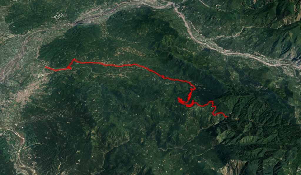
This is the starting point for County Road No. 151. This section of the road has a perfect surface as it leads up to Xitou FRA which is located at 1,200m over a distance of 18km.

It’s important to stock up at Xitou for the next section of the ride which has practically nothing on it by way of shops until the rider reaches the top. After Xitou the road is much narrower and the surface is not nearly as well maintained as the lower area. Although the rider stays on the same road it changes here to become county road Tou 95. This road is also named ‘Shanlinxi Rd.’
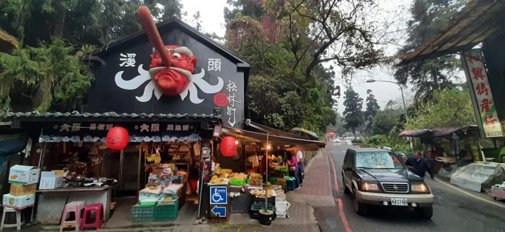
Once on this road, it’s 17km and 400m of ascent until you reach the gate of Shanlinxi at 1,600m.
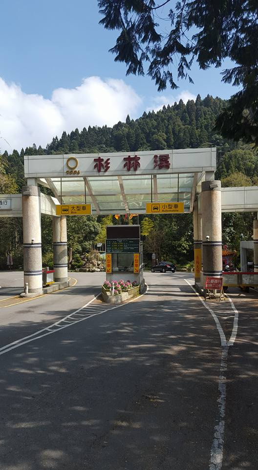
There is an alternate route that connects to Shanlinxi Rd on County Rd. Tou 49 – a much steeper and more difficult ride that passes two famous scenic areas of Tianti and Bagua Tea Plantation. This road also appears on maps as Dinglin Rd. There are several sections where it is broken concrete and the gradient is over 20%.
Here are the GPX and KML files.