Location: Keelung City/New Taipei City
Distance: 68km Elevation Gain: 974m
We have stated previously that our goal is to cover at least one popular route or loop in each county in Taiwan. A quick scroll through our previous posts will show the reader that we have fulfilled that objective in about a dozen counties so far. We have also, where applicable, included routes that are annual cycling events.
In this post, we focus on Keelung City in northern Taiwan. Keelung Harbour, Taiwan’s second-largest port and a vital maritime hub in the north, is most famous as a premier international cruise terminal, with its bustling night market (Miaokou), fresh seafood, and scenic, mountain-ringed urban landscape. Known as the “Rainy Port,” it probably has the most rainfall of any city in Taiwan.
An ideal starting point is the TRC train station in the center of town. Located at the 62km marker on Provincial Highway No.2, the first objective is to get out of town. Not the most traffic-friendly city in the country, but fortunately, it’s a short ride out to the coast.
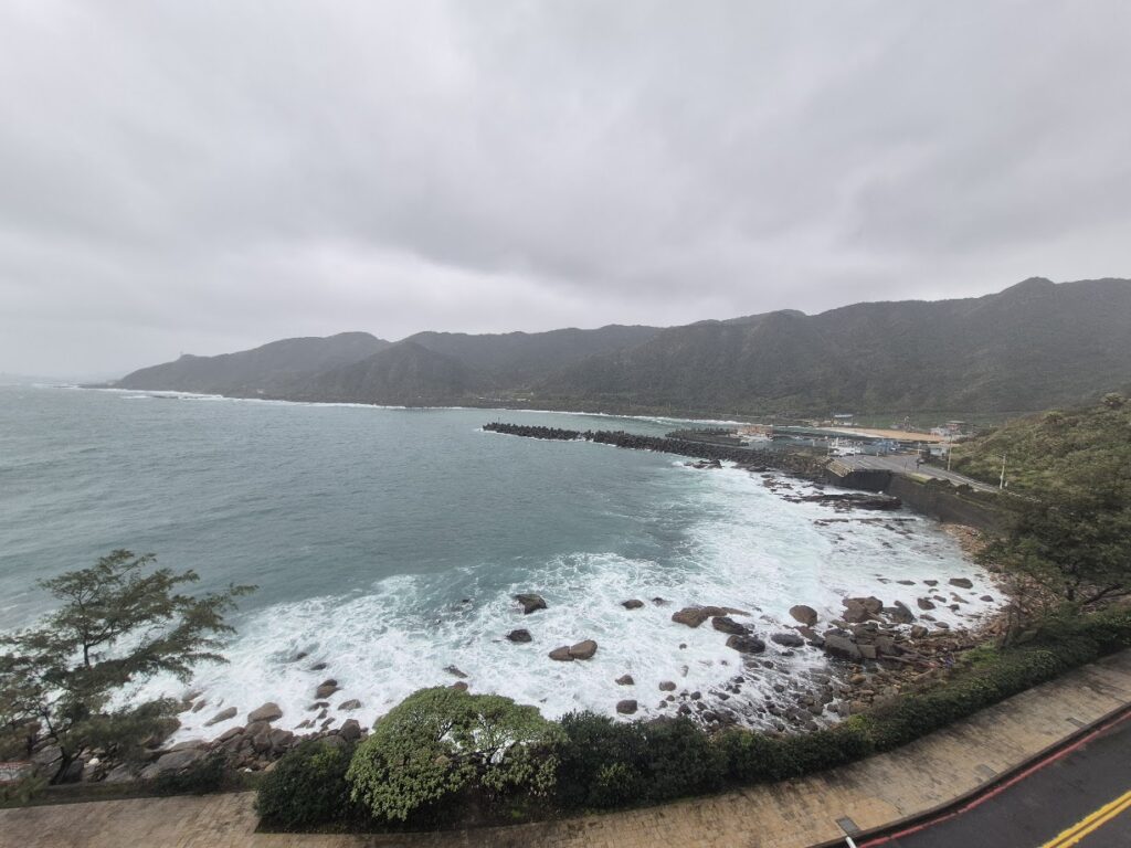
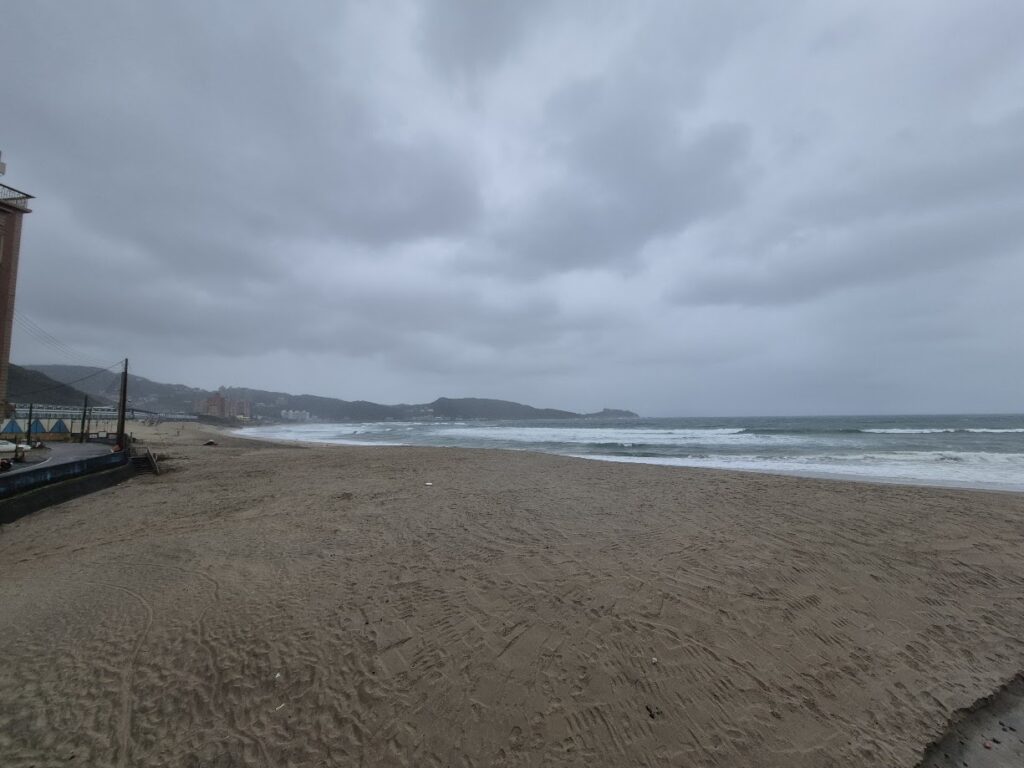
There are two ways to do this; on this particular occasion, the No. 2 was followed as the fastest way out of the city, but there is a less busy route along the port. A short uphill ascent gives the rider nice views down to the coast. After 10km, you’ll enter Wanli town, if you haven’t done so already, this is the best place to pick up supplies. This is a bustling seaside town with a great beach, best enjoyed in good weather.
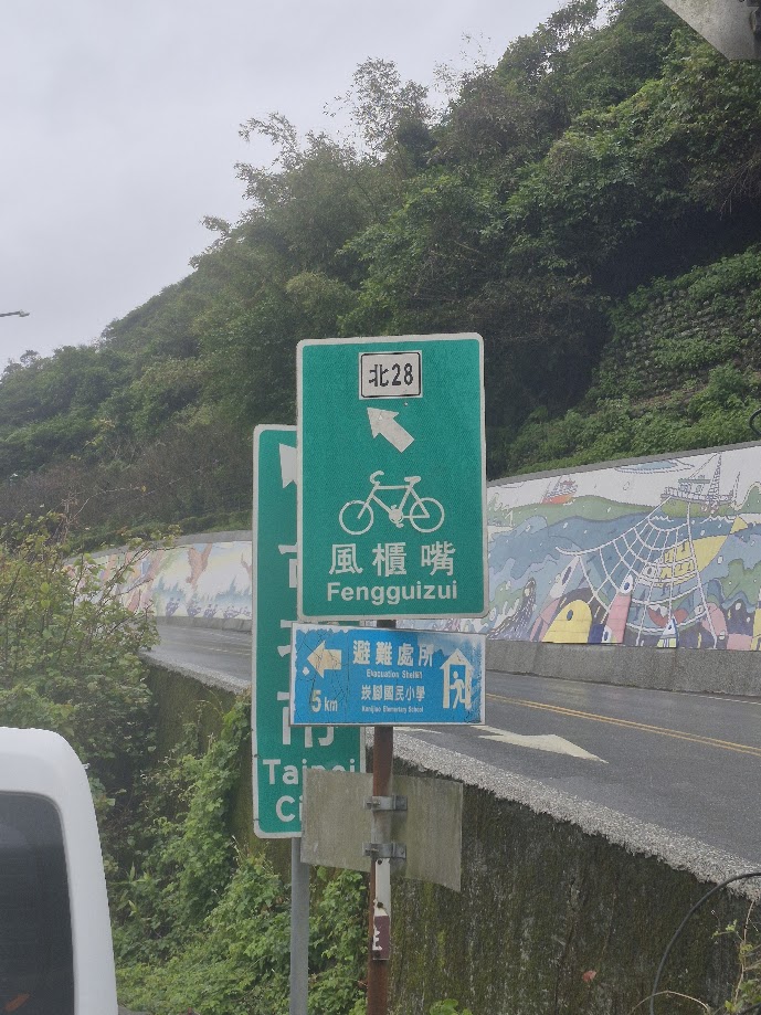
At the 50km marker on the No.2, the rider turns left onto Local Road ‘Bei 28’. This must be the most sign-posted route in the country, denoting its popularity with local cyclists. Every few hundred meters, you’ll see signs confirming that you are on the ascent to Fengguizui (FGZ). This is where the ride starts to get interesting, as you now have a solid 16km ascent to 600m.
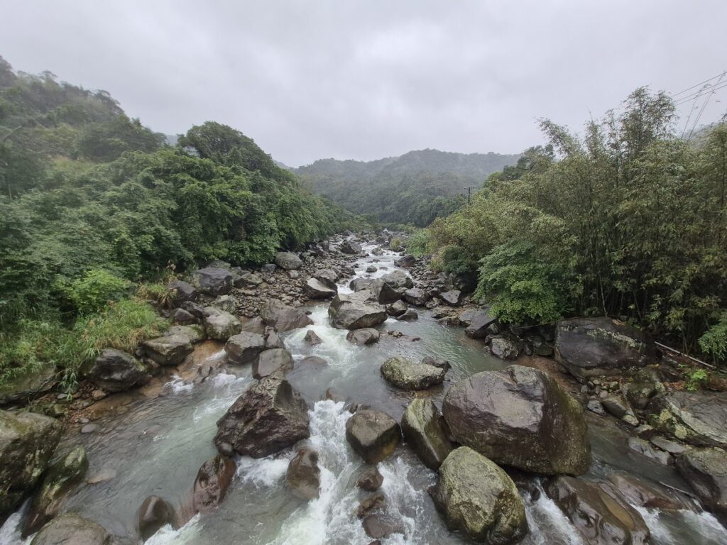
This is a really pretty area with the road running parallel to the Masu Creek on the left all the way up, and it’s densely forested. The gradient is forgiving mostly in single digits, but there are a couple of spots where the pitch is over 10%. At the top of the climb, there is a pavilion to rest and a coffee stand nearby. You are now in Yangming Shan National Park. On this particular day, the weather was miserable and rainy, so wet weather gear is well advised if the forecast is not great.
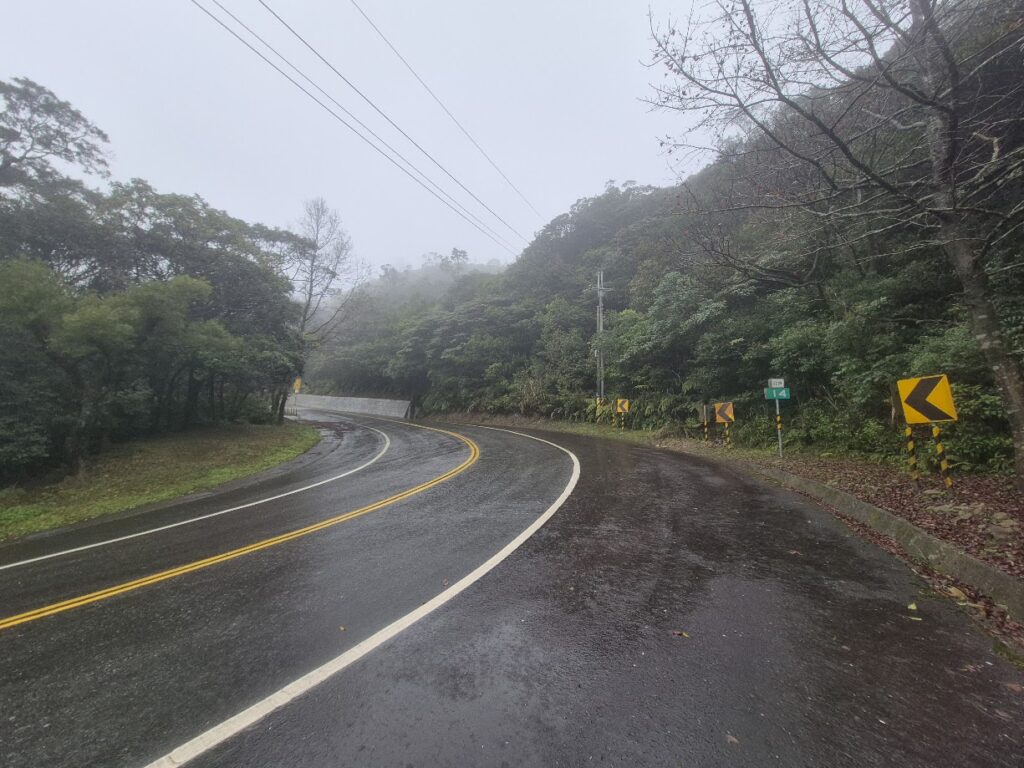
If you continue to follow the Bei 28, it will take you due south into Taipei, but to continue the loop back to Keelung, take a left turn onto Local Road Bei 29. You now have a rocket descent back to sea level. This road would be just as good as the Bei 28 if you decided to do it in the opposite direction.
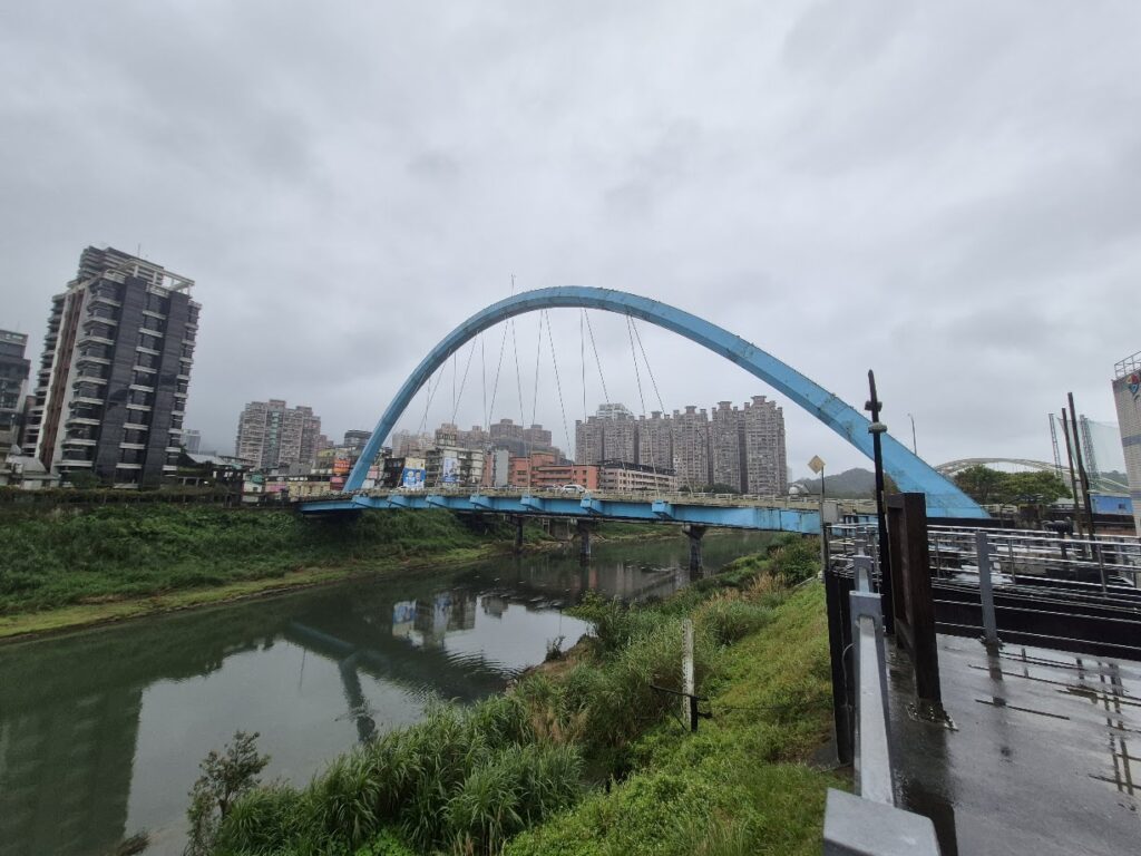
To avoid traffic on busy roads, the Keelung River Bike Path is a great way to get back to Keelung; however, caveat emptor, it’s not that easy to follow, with the bike path switching from the north and south banks of the river and a couple of bridges that have to be navigated around.
Here is the GPS info: