Location: Miaoli City/Miaoli County
Distance: 90km Elevation Gain: 1,300m
We have stated previously that our goal is to cover at least one popular route or loop in each county in Taiwan. A quick scroll through our previous posts will show the reader that we have fulfilled that objective in about a dozen counties so far. We have also, where applicable, included routes that are annual cycling events.
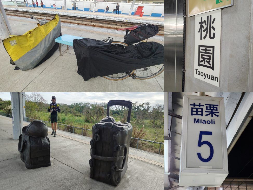
In this post, we focus on Miaoli City/County in northern Taiwan. An ideal starting point is the TRC train station in the center of town.
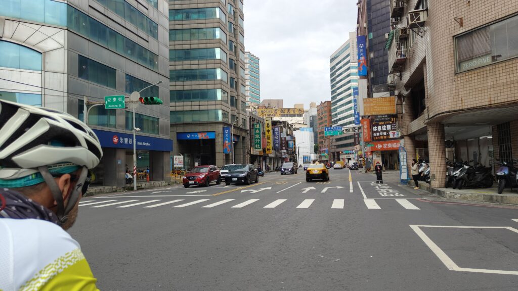
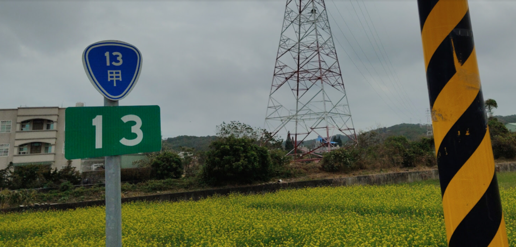
From the station, the route rolls directly through the northern section of Miaoli City on Provincial Highway No. 13A for 5 to 6km, an unremarkable but functional urban start typical of many Taiwanese towns, before heading out toward quieter countryside roads.
After crossing the Houlong River via a four-lane road, the terrain tilts gently upward with a short, manageable ascent. At the peak of the small hill is the border between Miaoli City and County.
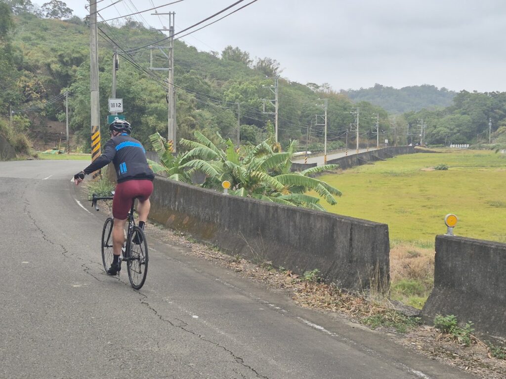
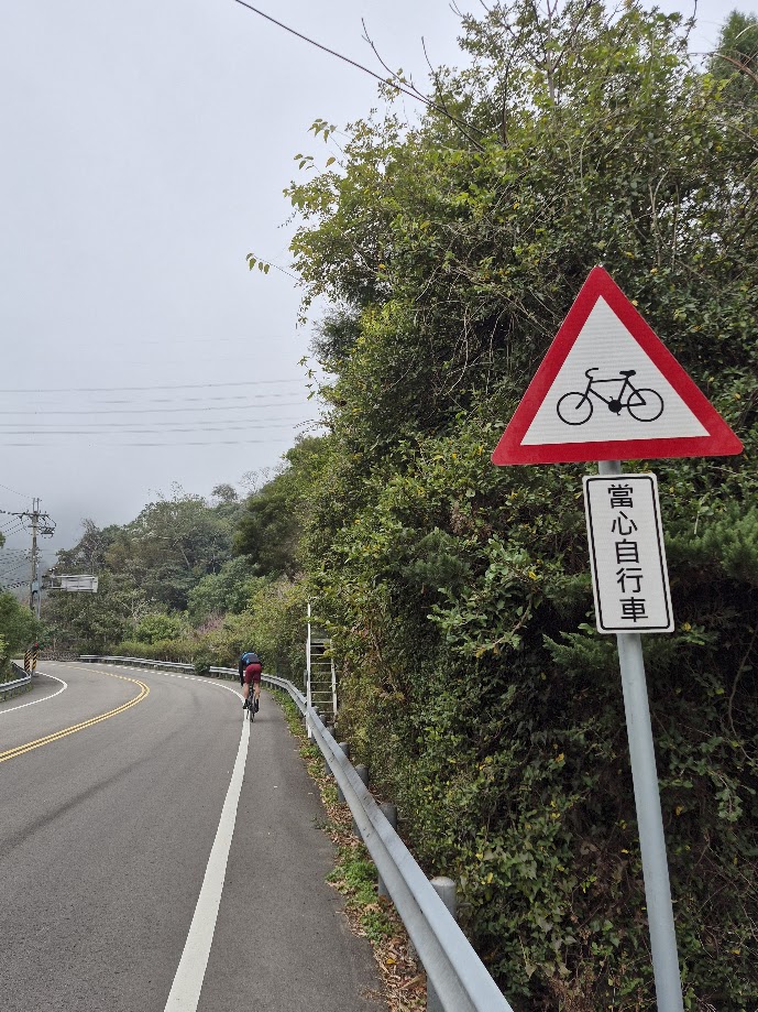
Now on Local Rd. Miao 12 this marks the transition into the enjoyable part of the first 25 kilometers; narrow, lightly trafficked rural roads with a calm, scenic feel. The rider should be advised that signage can be inconsistent and occasionally confusing, making a GPS or map highly recommended.
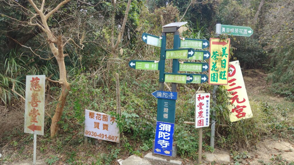
There are several road switches as you navigate between the Miao 12, 15, 12-3, 14-1, 17, and 5 as this area features a dense web of intersecting roads and multiple forked junctions, where careful attention to direction is necessary.
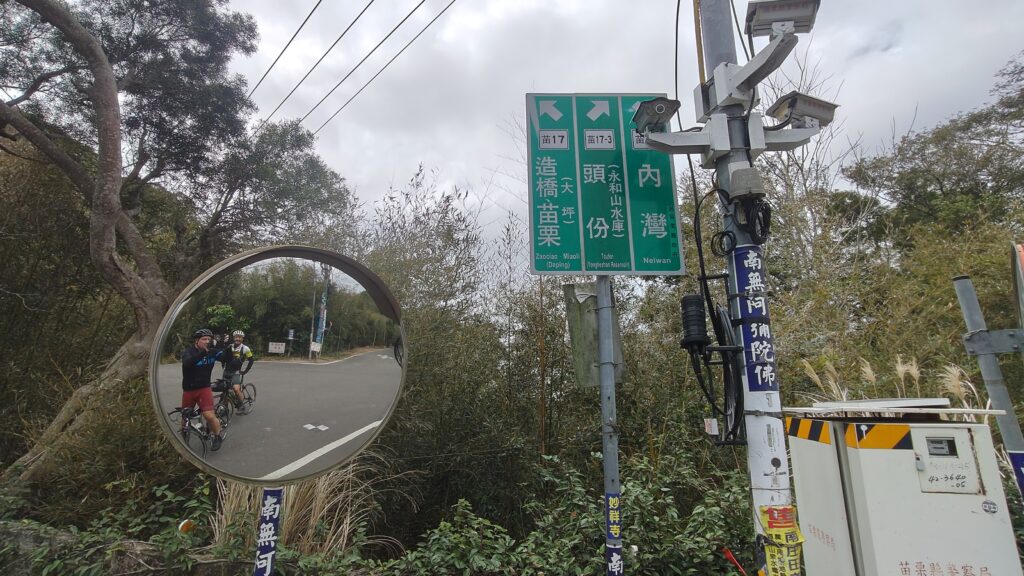
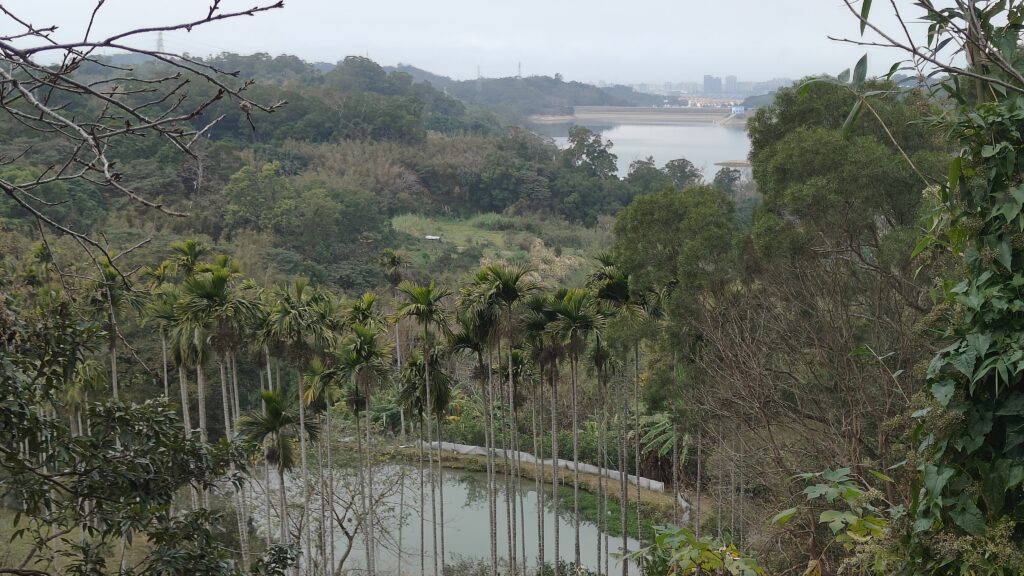
This is superb riding through rural villages with little to no traffic. At a couple of points, there are great views of Yongheshan Reservoir off to the left. After a steep climb, you need to take Miao 5, and this road brings the rider directly into Sanwan town which is a good place to pick up supplies. Provincial Highway No. 3 at the 90km marker intersects with County Road No. 124
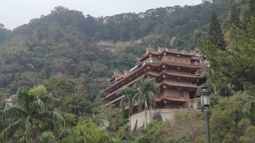
The No. 124 heads due east, and a few kilometers before you arrive at Nanzhuang town, you’ll see a staircase on the left leading up to Shitou Shan (Lion’s Head Mt.) and Quanhua Temple, which is a National Scenic Area and a big tourist draw. More info here.
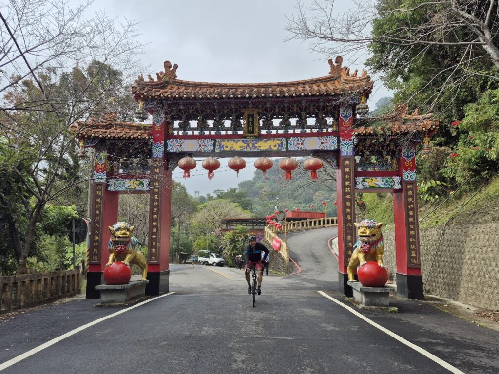
As the reader will see from the GPX file, we took a detour up to the entrance of Quanhua Temple, an approx’ 1.5km steep climb up to the parking lot. Well worth a visit.
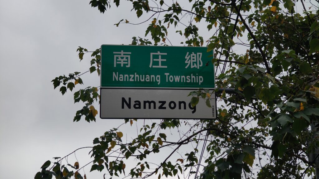
At the 29km marker on the No. 124, you arrive at Nanzhuang, which is at an elevation of 200m. A bustling town with lots of food and accommodation options. Nanzhuang is home to the Saisiyat and Atayal indigenous tribes, living alongside Hakka people who make up 80% of the population. More info here.
When this route was covered in #71, we followed the No. 124 along the Penglai River route before returning to the No. 3. On this occasion, to shorten the loop, we opted to descend back to the No. 3 using Provincial Highway No. 124B. This runs parallel to the No. 124 for 10km, mostly downhill to get the rider back to the No. 3.
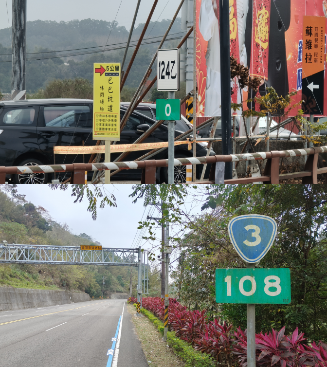
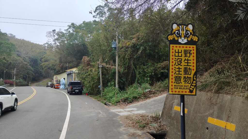
There’s a 7-11 on the left where the No. 124B intersects with the No.3, take a left turn to head south for about 15km. This section of the No. 3 is torture, with several humps to get over before you reach the turn off for Local Rd. Miao 26. There’s another climb of 2 to 3km until you come to a tunnel. The rider will notice several signs warning drivers to look out for cats – Miaoli has the highest concentration of Leopard Cats in the country. This is an endemic protected species.
The No. 26 is another excellent road and is marked out as part of Miaoli County’s bike way. It’s a straight shot for around 12km to get to the center of Miaoli City. There is a dedicated bike path that runs along the train tracks and takes you directly to the train station.
Here is the GPS information for this route: