Location: Changhua/Nantou/Taichung
Distance: 190km Elevation Gain: 2,548m
Provincial Highway No. 21, also known as the New Central Cross-Island Highway, is 145km in length from where it starts on the outskirts of Taichung to where it terminates at Tatajia in Nantou County at an elevation of 2,600m. It would be a dream ride to do this from start to finish as a single traverse from north to south, but access is difficult with both the start and finish in remote areas.

In this post we cover a 190-kilometer loop that includes the north part of the No. 21. We have recorded the road information below traveling south to north as a counter-clockwise loop, but it is equally good in either direction. Information on the south section of the No. 21 is covered in #007 of our series.
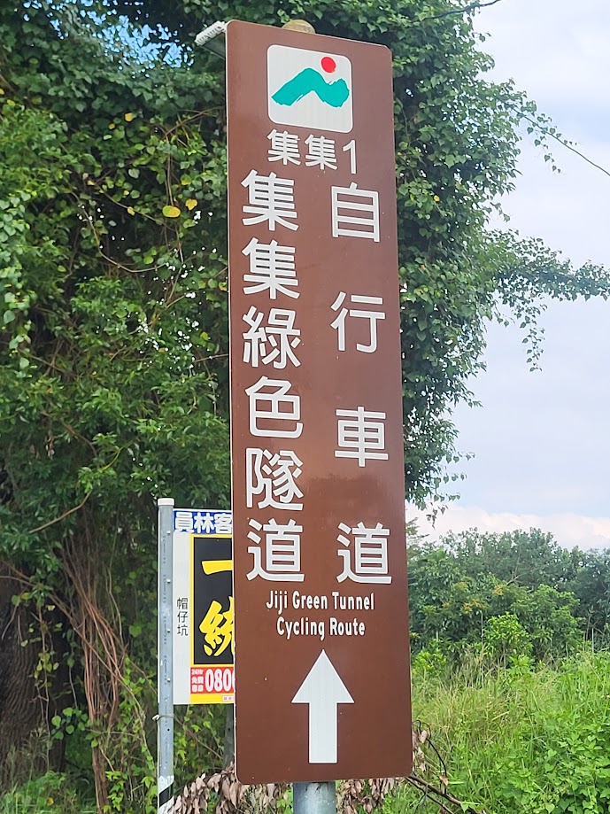
As mentioned above access is tricky and time-consuming if you haven’t got your own transport. On this particular trip, I took the train to Ershui in Changhua to start the ride. (there is the option of taking the Jiji narrow gauge train directly to Shuili Township, but the bike must be bagged).
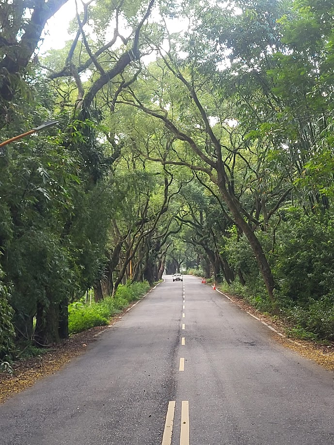
It’s around 30km to get to Shuili on County Rd. No. 152 and the Nantou 54 which both run parallel to Provincial Highway No. 16. Taking the two roads mentioned is a much better option than taking the much busier No. 16 and takes the rider along the Jiji Green Tunnel, an excellent bike route on quieter back roads. Shuili is a fairly big town with lots of accommodation and food options.
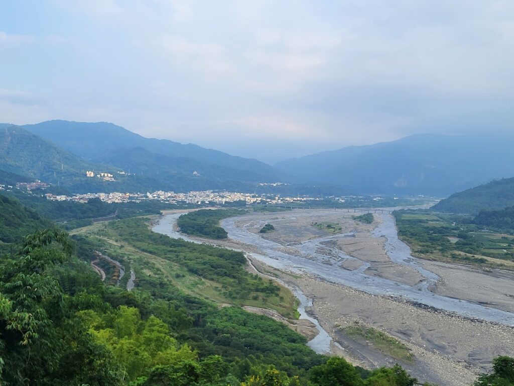
From the above image, it’s just 2 km along the No. 16 before the rider reaches the intersection with the No. 21.
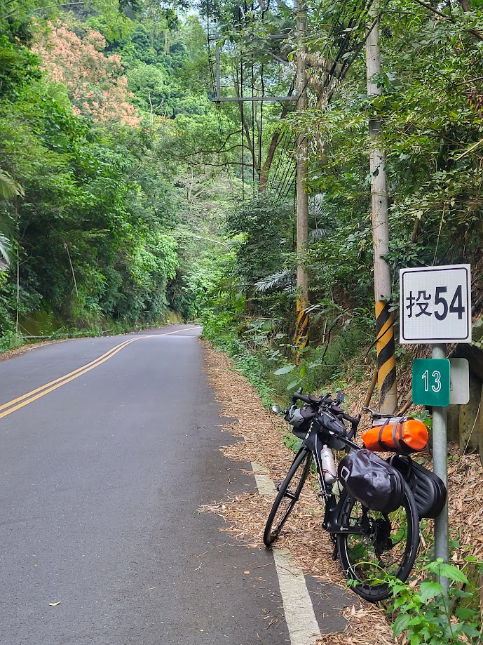
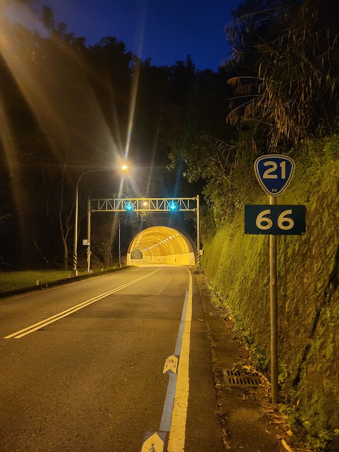
The following image shows the 66km marker on No. 21 – so, that’s the distance that has to be covered to reach the 0km start of the road in Taichung. At this point on the No. 21, there will be signs for one of Taiwan’s main tourist attractions, Sun Moon Lake. This is 10km up the road and it is up, although only 400m higher in elevation than Shuili there is quite a lot of climbing to do as the road undulates.
After passing through a tunnel leading to the lake the rider takes the left turn to proceed clockwise around the lake to continue north. A right turn takes the rider onto Provincial Highway No. 21A which circles the east side of the lake before rejoining the No. 21.
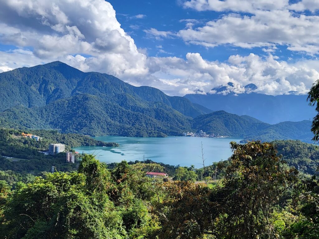
This section of the road can be really busy with tourist traffic. There is the option of using the bike route around the lake, but this route is not ideal for speed. Several kilometers past the lake the rider will enter Puli, which is the main city in Nantou. (No. 21 45km marker)

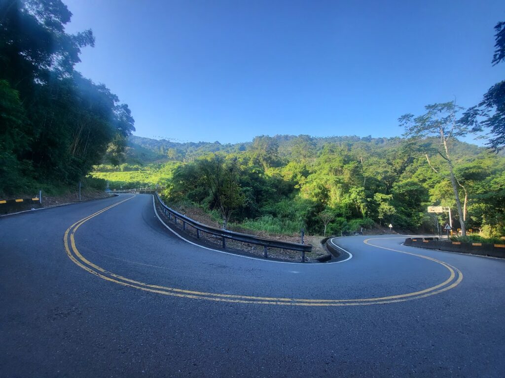
Some may find it interesting that Puli is the geographic center of Taiwan. Once you pass Puli, the road narrows to two lanes, and this is a much quieter area. There is one fairly stiff climb at this point, where the road ascends to just over 800m, followed by a rocket downhill.
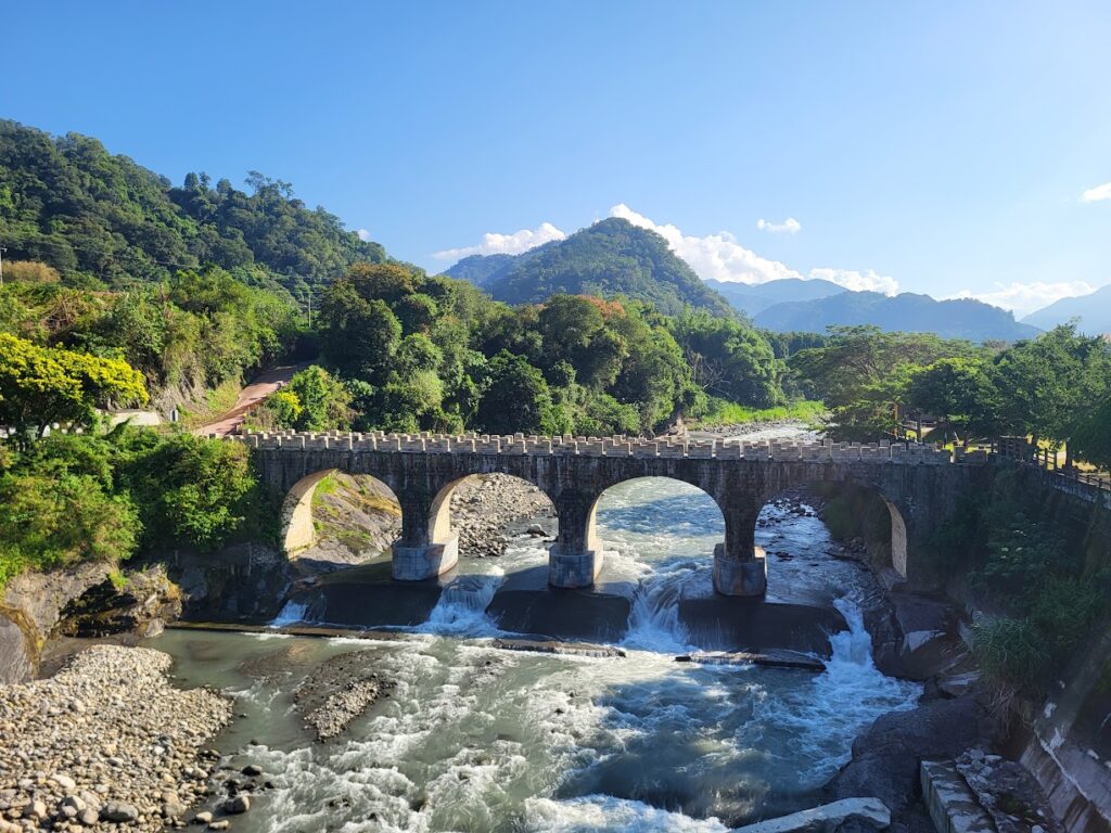
The next point of interest on the No. 21 is at the 29 km marker turn-off for Huisun Forest Park which is covered in #046 of our series. Just a few kilometers further on is the famous Nuomi Bridge which is constructed with cement made from sticky rice. There are several small towns along the way with shops for refreshments.
This area offers fantastic cycling, surrounded by the hills and farmland of central Taiwan. The 0km marker of the No. 21 is at the intersection of Provincial Highway No. 8 (the original Central Cross-Island Highway) A right turn here will take the rider to the hot spring town of Guguan. You are now in the Xinshe District of Taichung and must decide how to proceed.
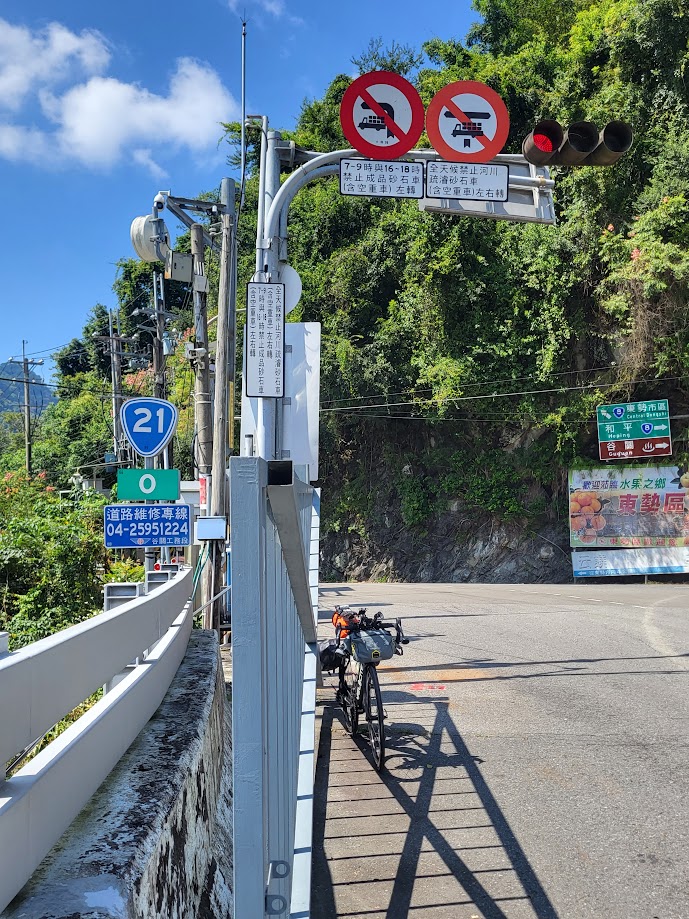
There are multiple options of roads to take if the rider wants to continue north to Miaoli County or west to Taichung. My objective was to return to the starting point of Ershui. This was done by combining the local roads of Chung 95 and 99 and County Rd. No. 136. Any cyclist living in Taichung will be very familiar with these roads as it is a perfect training ground on the outskirts of the city.
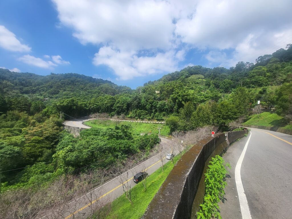
This loop was completed in one and a half days with a touring rig, as such no problem for a fairly strong cyclist to knock it out as a day ride.
This looks like an awesome ride – man I miss Taiwan!