Location: Yunlin County/Nantou County
Distance: 77km Elevation Gain: 1,149m
We have stated previously that it is our desire to cover at least one popular route or loop for each county in Taiwan. A quick scroll through our previous posts will show the reader that we have fulfilled that objective in about a dozen counties so far. We have also, where applicable, included routes that are annual cycling events.
In this post, we focus on Yunlin County in south-central Taiwan. Our starting point is Dounan Township, a primarily agricultural area known especially for coffee and oranges. There is a train station in the center of town, but having a car on this occasion, we started just a few kilometers out on County Rd. No.158A. This is a magical road, and it gets better and better as you ascend.
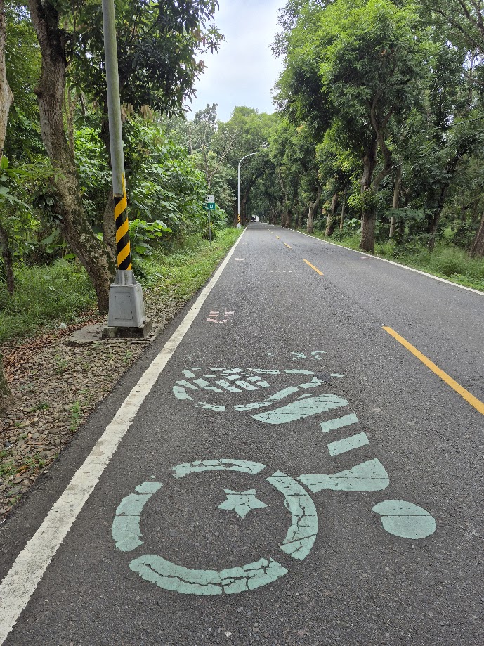
The Gukeng area is popular with tourists out for a weekend ride on account of its ‘green tunnels’ of mango trees, which line several of the roads in the area and offer shade on a sunny day. There are also multiple options of coffee shops in the hills with great views of the plain below.
For the first 20km, you’ll find yourself on a moderate ascent up to 400m. Be mindful of the fact that the road markings out in the countryside aren’t always obvious, and it can be tricky to avoid an unintended detour. The road narrows down to one lane higher up as it crosses into Nantou County, but there is very little traffic. The No.158A intersects with County Road No.149A, and both roads converge for several kilometers.
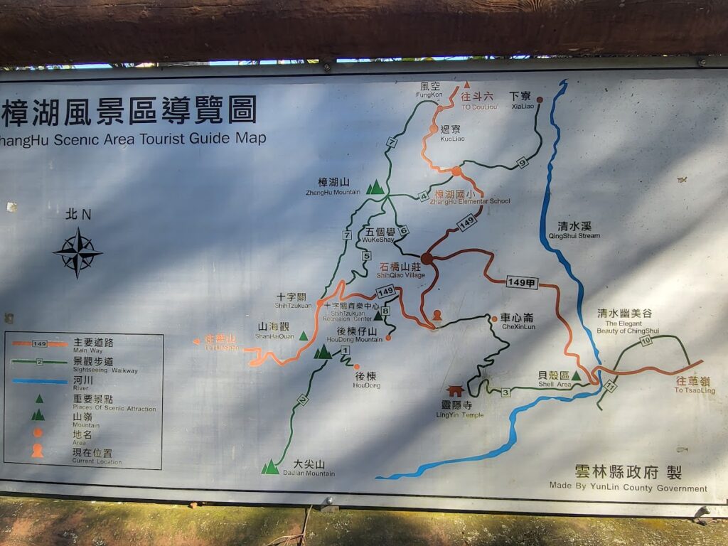
After the first climb of around 20km, there is a 5km descent of 200m. At the bottom of the descent, the No.158A terminates at the 52km marker and intersects with Local Road No.149 at the 14km marker, which we covered in our post #032. This is where the second climb of the ride begins. Over the next 12kms, there is a 400 – 500m ascent on moderate grade till the highest point is reached at 800m.
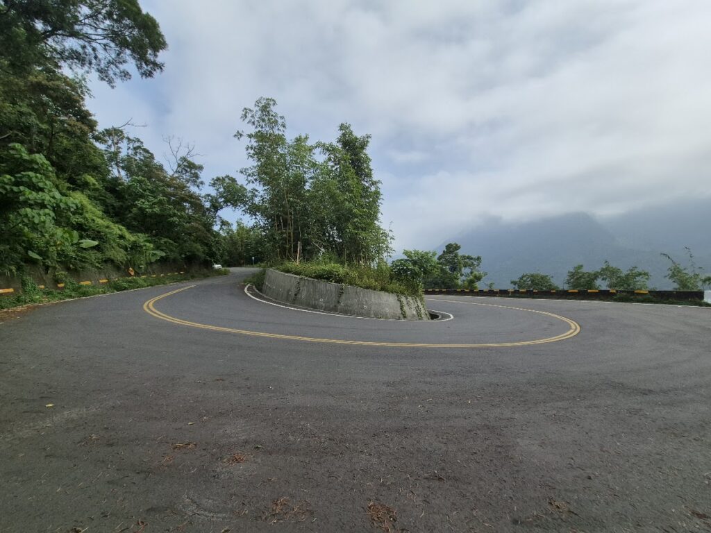
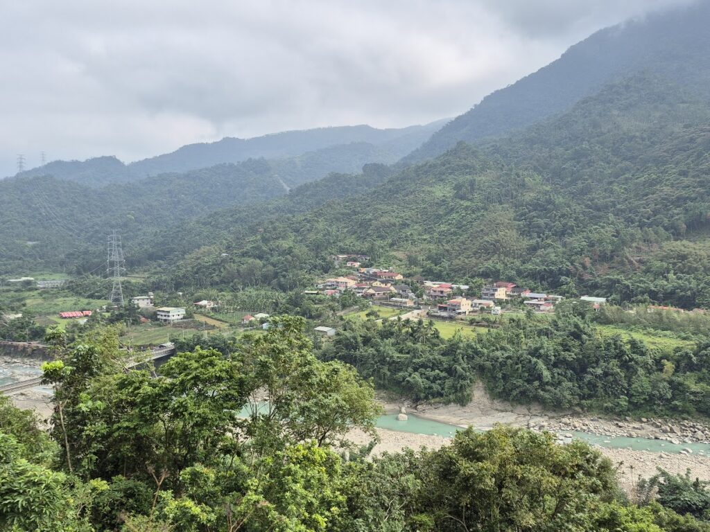
“Continuing on up the road reveals the best of Taiwan riding scenery. There is very little traffic, and the surface is perfect. It’s not unusual to get a sea of clouds hovering over the lower-level mountains. At the 19km marker is the turn off for the 149A – this leads the rider into the magical abyss of interconnected roads that make Nantou, Yunlin, and Chiayi three of the best counties in the country for cyclists.”
Now the rider just has to stay on the No. 149 heading for Meishan Township. Halfway through the ride, you reach the highest point before the downhill begins. This 700m descent is on excellent surface, and it’s really fast with several switchbacks, which the rider should be mindful of.
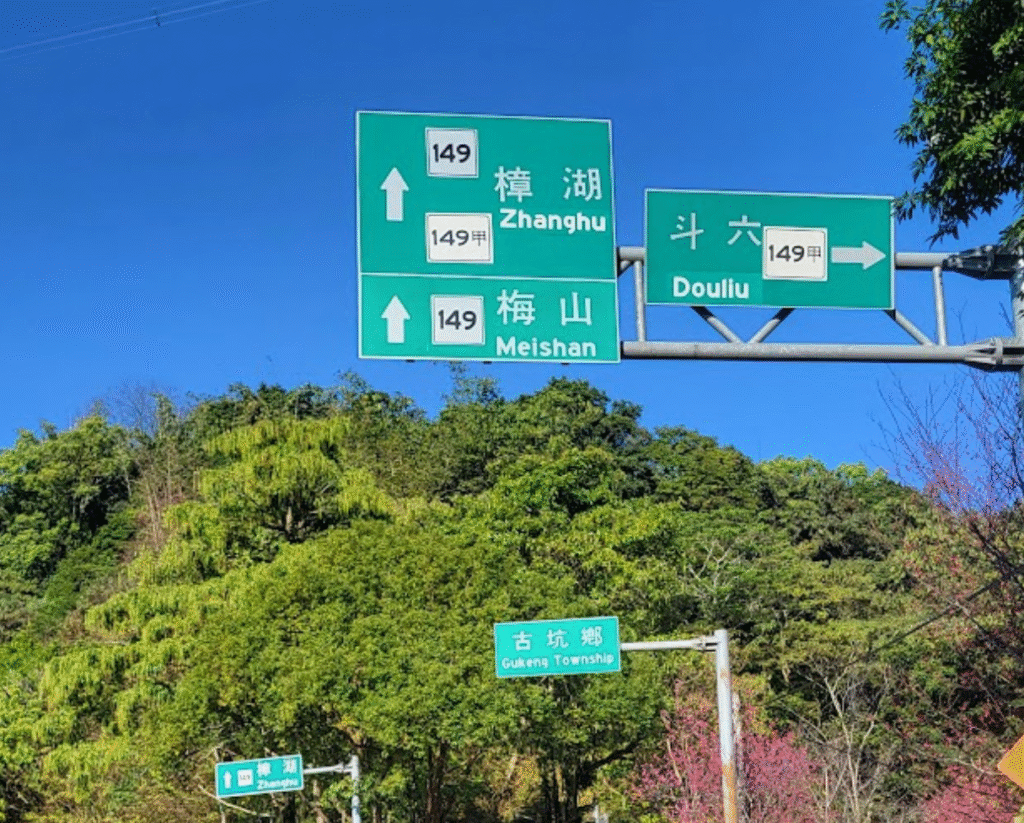
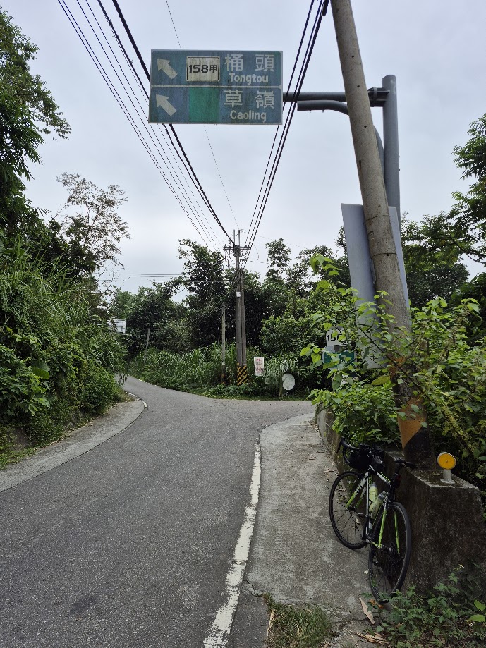
The last point of interest on the 149 is near the end at Meishan town. At the 39.5km, there is a left turn for the No. 162A, otherwise known as the ’36 Bends’ road, and #028 is our series of the Top 100 Climbs in Taiwan.
The No. 149 terminates in the center of Meishan, so the rider takes a right turn to get onto Provincial Highway No.3. After 7km on the No.3 heading north-west, the road intersects with the County Road No. 158C for a 10km rip back to central Dounan.
Here is the GPS info: