Location: New Taipei/ Taipei
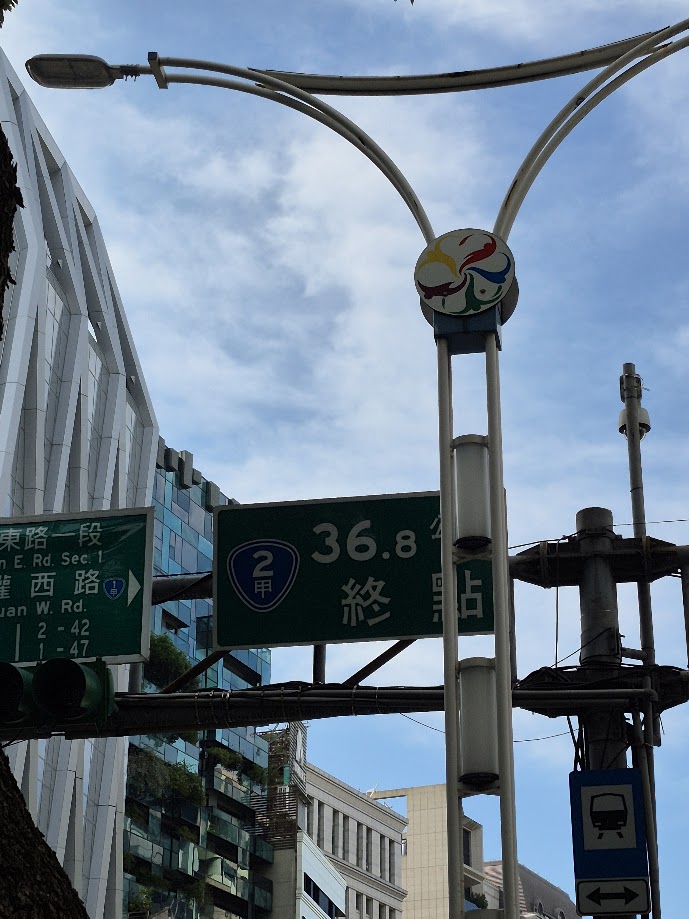
Distance: 36.8km Elevation Gain: 780m
Recently we have covered two rides for Taipei, one south, one east, and this the third covers a ride to the north. While the other two rides were recorded from central Taipei, for this one, we did the opposite for a specific reason. If a rider wanted to do the ultimate climb in Taiwan i.e. the ‘Spine’ from north to south along the central mountains, then this or from Yilan would be the first leg.
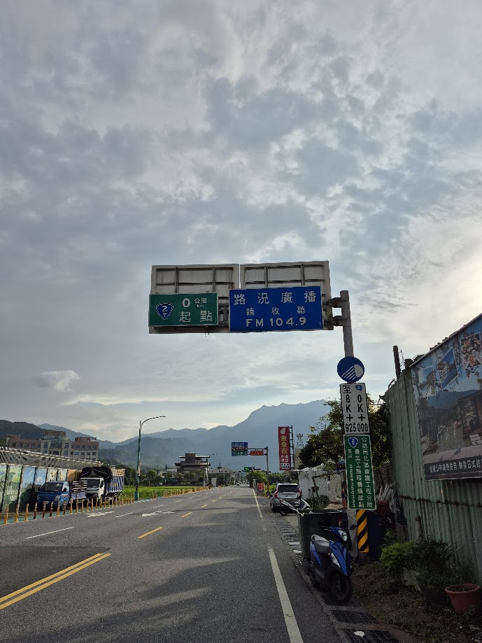
In #067 of our series, we took some time to explain the geography and political map of Taipei and New Taipei. The following route on Provincial Highway No. 2A is arguably the most important route for cyclists living in Taipei, as it is one of the few major roads into and out of the city. (The others would be Provincial Highway No. 9 heading east and covered in #068 of our series, and Provincial Highway No. 3 heading south)
For some cyclists, covering a road from end to end might border on obsession, and that would certainly be the case for your intrepid explorer on this particular ride. Bearing that in mind, the objective of this ride was to record the road from where it starts at Jinshan in New Taipei on the north coast, till it terminates in central Taipei.
In addition, we have in several cases covered routes that feature in annual organized cycling events around the country. This ride through Yangmingshan National Park (YMS) is part of the ‘Neverstop’ series – Yangjin P-shaped Mountain Road held in November or December each year and attracts thousands of cyclists.
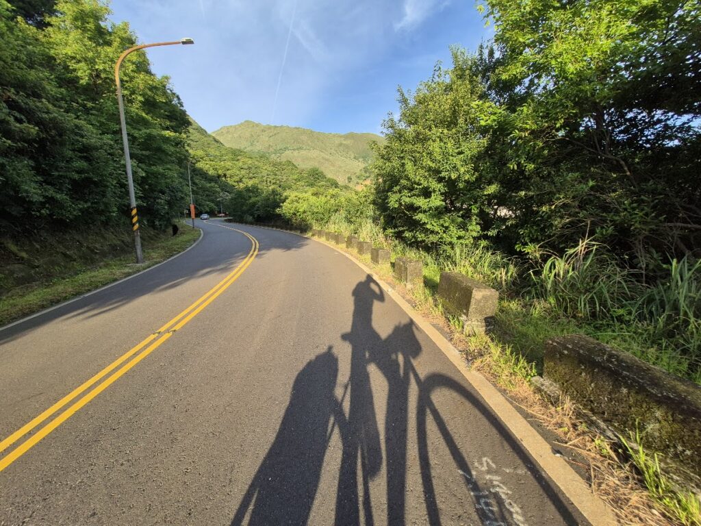
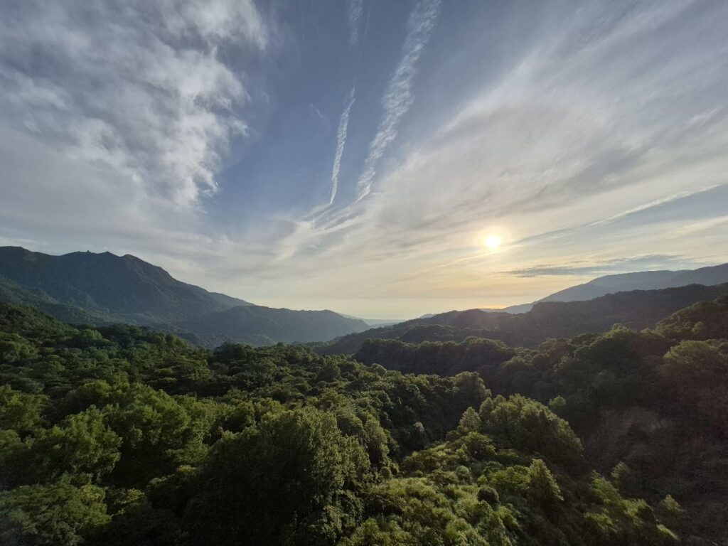
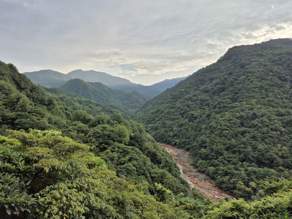
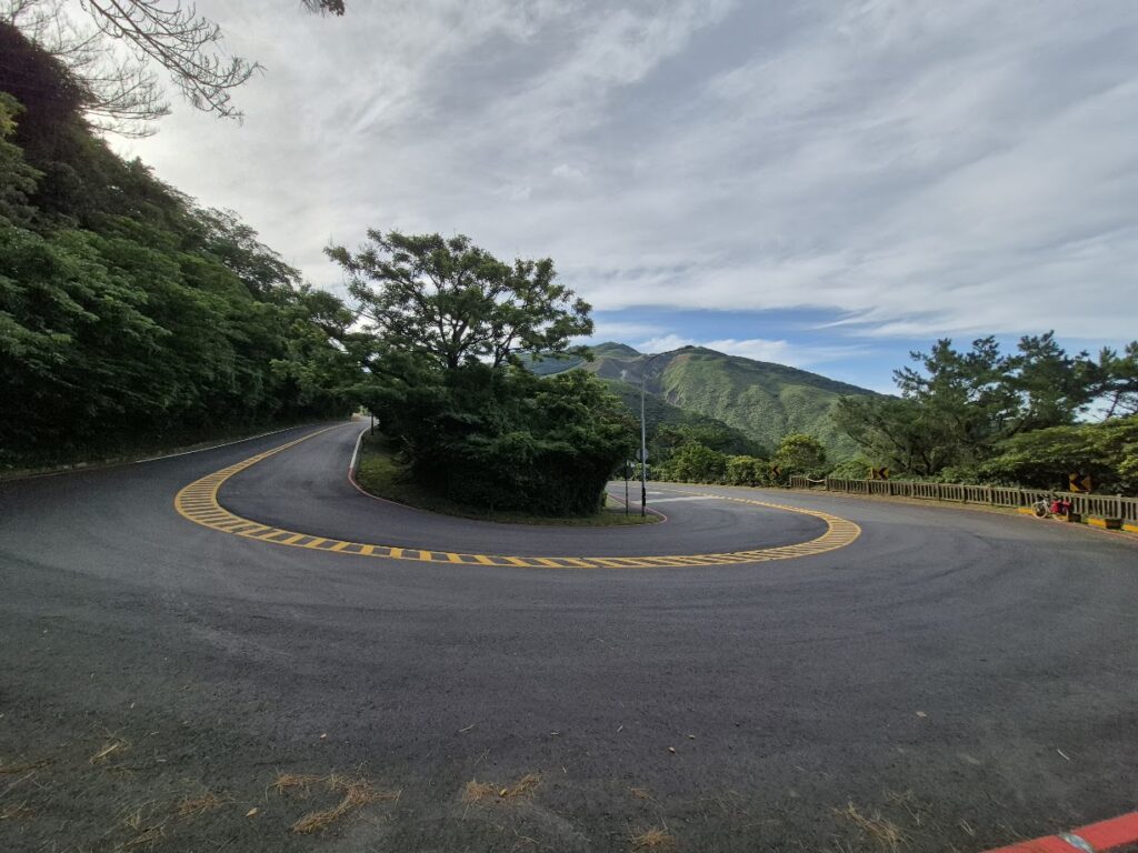
After a short flat section, the climb starts. Not an outrageous gradient, but it is a solid uphill that doesn’t ease off. Being in a national park, the environment is pristine. This area is coastal defense for the military, so you’ll see lots of radar installations on the distant peaks. After about 12km of ascent, the gradient eases off and it’s mostly 3 – 5% to the top at 800m. Overall, it’s a decent 20km climb.
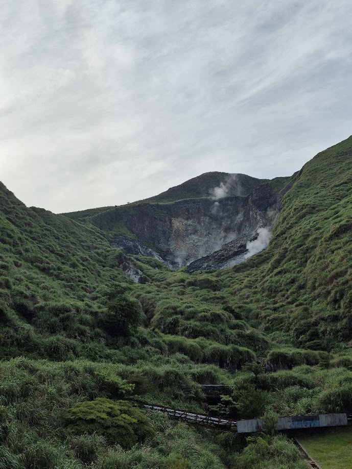
Apart from a lot of monkeys hanging around on the sides of the road, one unusual thing about this area is the visible steaming fumeroles and the occasional stink of sulphur wafting across your path. Yangmingshan is the only national park in Taiwan that has volcanic geography and hot springs.
As you roll over the top, there is a visitor center on the left, and this is the trailhead for Qixing Mt. 1,120m. This is the highest peak in Taipei and one of the ‘Small 100 Mountains’. It gets lots of hikers on a daily basis. Although rare, it can snow up here in winter, and ice on the roads could be an issue.
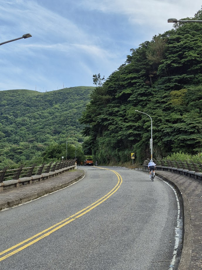
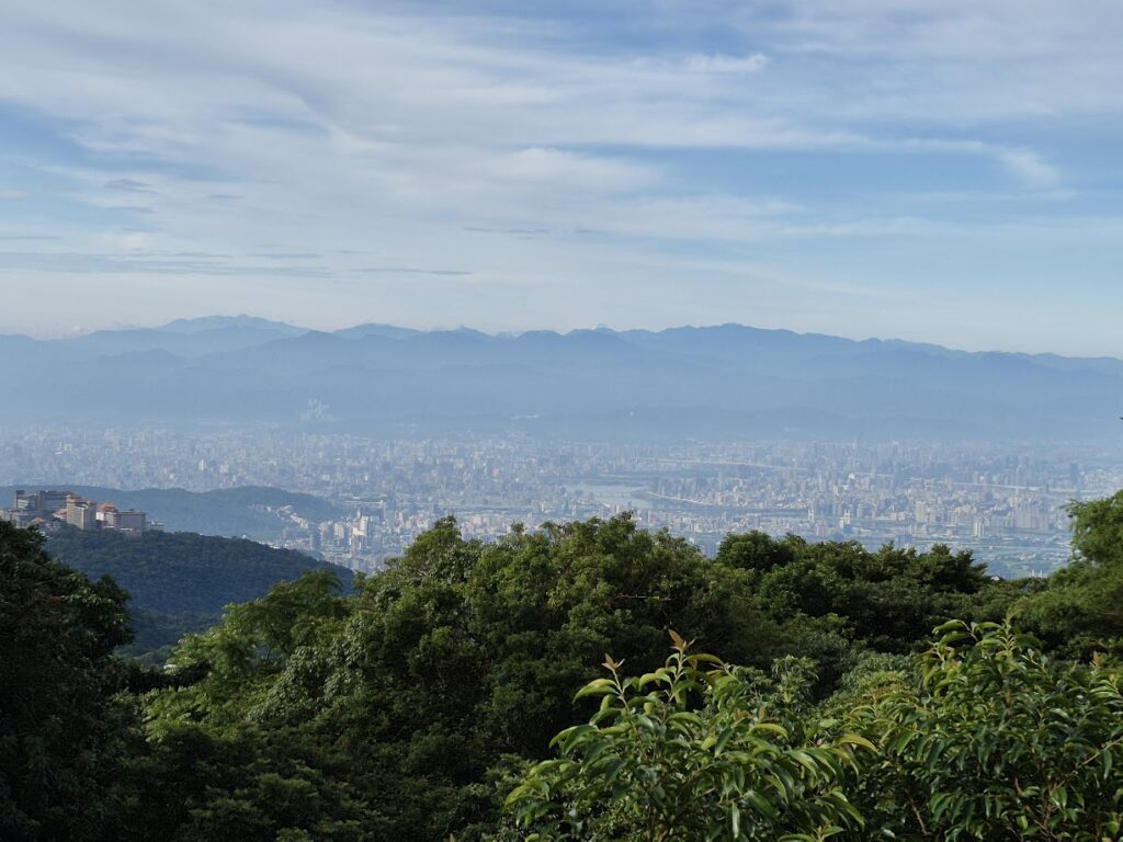
Once you are over the top, it’s a fairly pleasant 15km roll downhill. There are several lookout platforms offering great views of the city. Naturally, as you approach central Taipei, there’s a lot more traffic on the road. One good thing about Taipei is that cyclists can ride on the sidewalk for most of it.
After 36km, the No. 2A terminates at the intersection of Minquan West Rd. and Zhongshan Rd. leaving you 4-5km from Taipei Main Station.
In line with nearly all our other posts, we have tried to include tourist attractions or points of interest for riders. It would be a shame not to include some information about Jinshan town, which is a fairly major tourist draw on its own. The town has an ‘old street’ where you can pick up lots of local snacks, hot spring hotels for an overnight, and it’s in proximity to the Ju Ming Museum. All locations are well worth the visit.
Here is the GPS information: