Location: Yilan County
Distance: 93km Elevation Gain: 970m
We have stated previously that it is our desire to cover at least one popular route or loop for each county in Taiwan. A quick scroll through our previous posts will show the reader that we have fulfilled that objective in about a dozen counties so far. We have also, where applicable, included routes that are annual cycling events. The following post ticks both of those boxes.
This route will also be of interest to anyone wishing to ascend the excellent climb of Taiping National Forest Recreation Area (NFRA), which we covered in #035 of our series.
As usual, we recorded the ride from central Yilan at the train station. With a population of 450,000, the city center is compact and after just a few kilometers, you are out of the urban area.
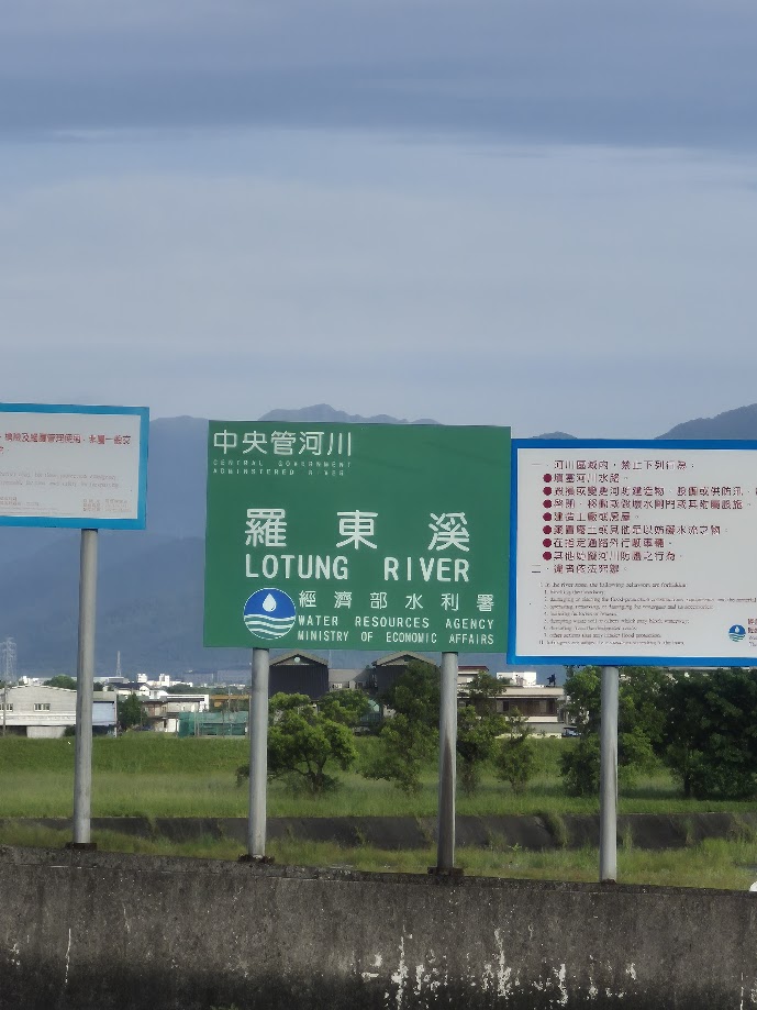
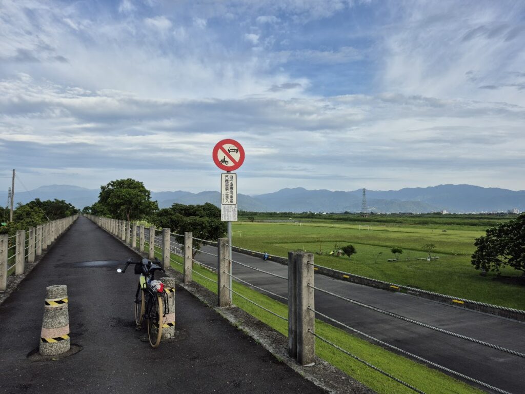
In order to follow the ride event as closely as possible, I went east on Provincial Highway No. 7 to get onto Provincial Highway No. 9. After 8km, I took a shortcut on the Lotung River Bike Path, a good way to get onto County Rd. No. 196.
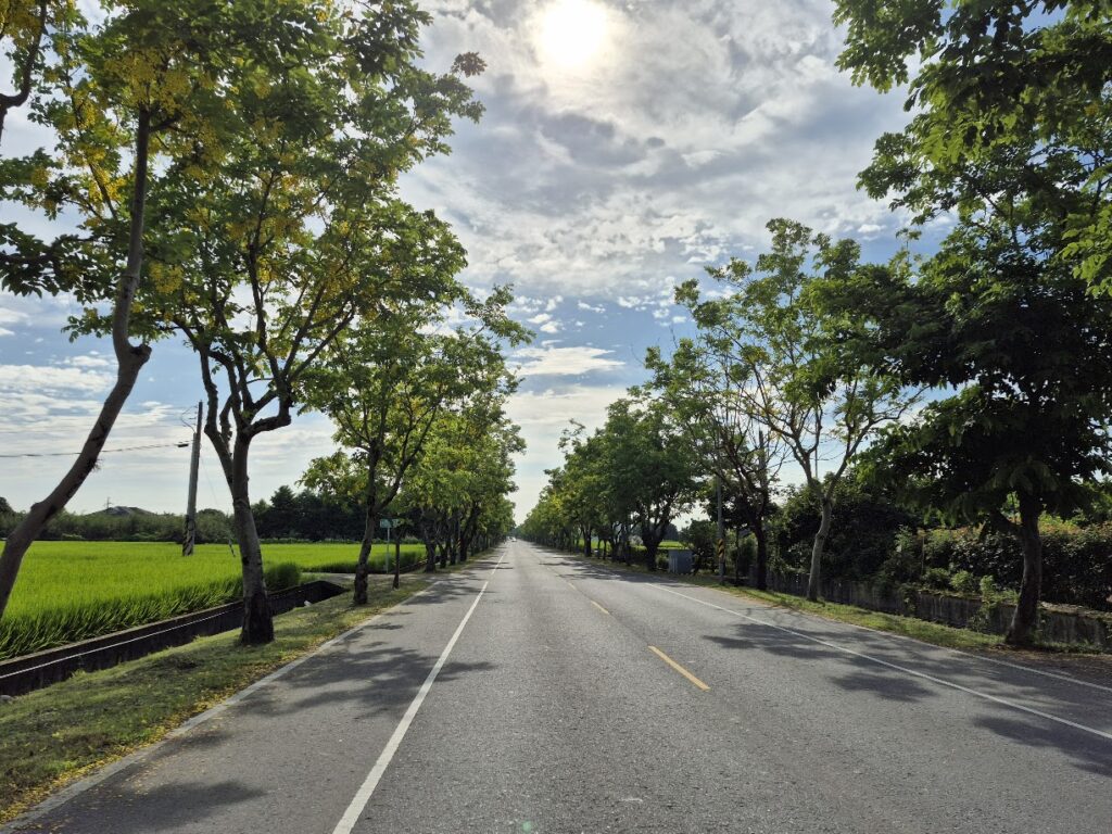
This is where the main ascent begins, quite gradual here on a really nice tree-lined road. There are a few convenience stores along here where supplies should be picked up as there is not much by way of shops after this point.
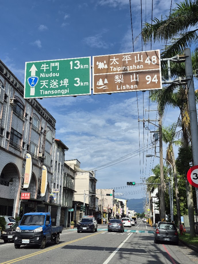
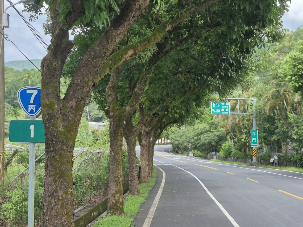
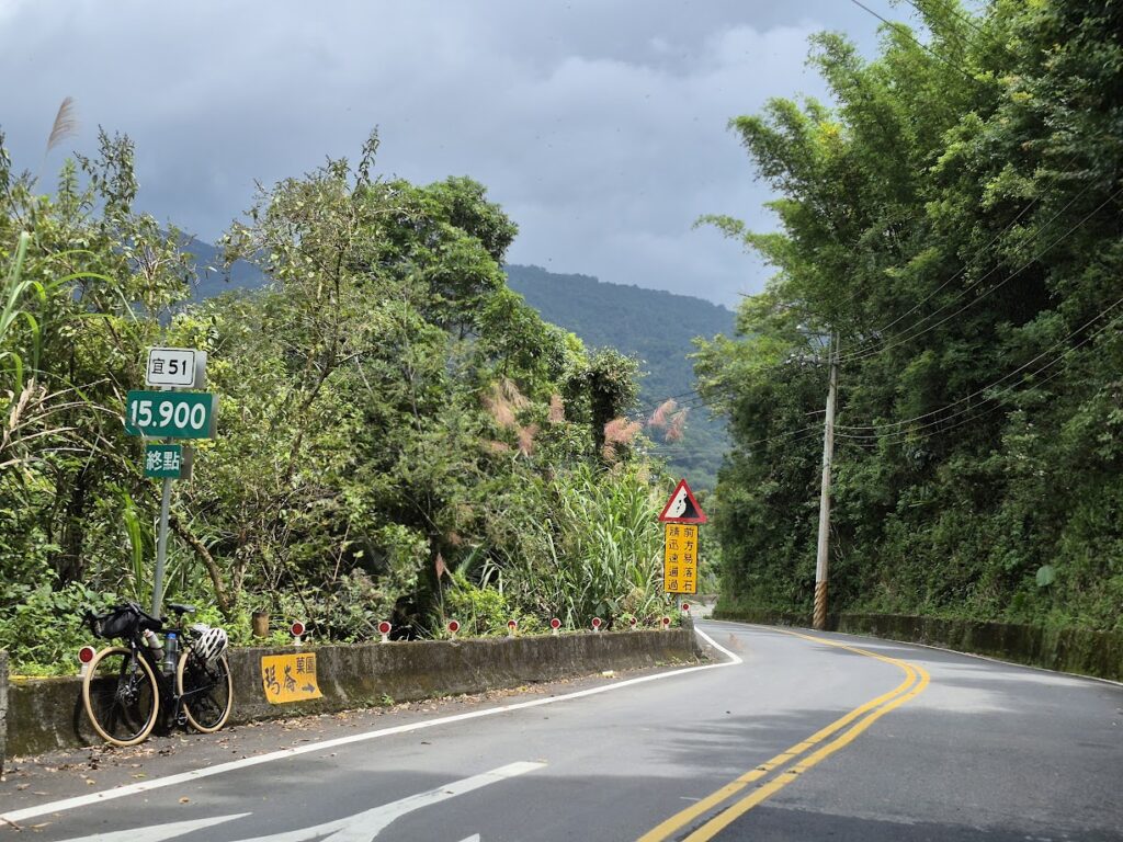
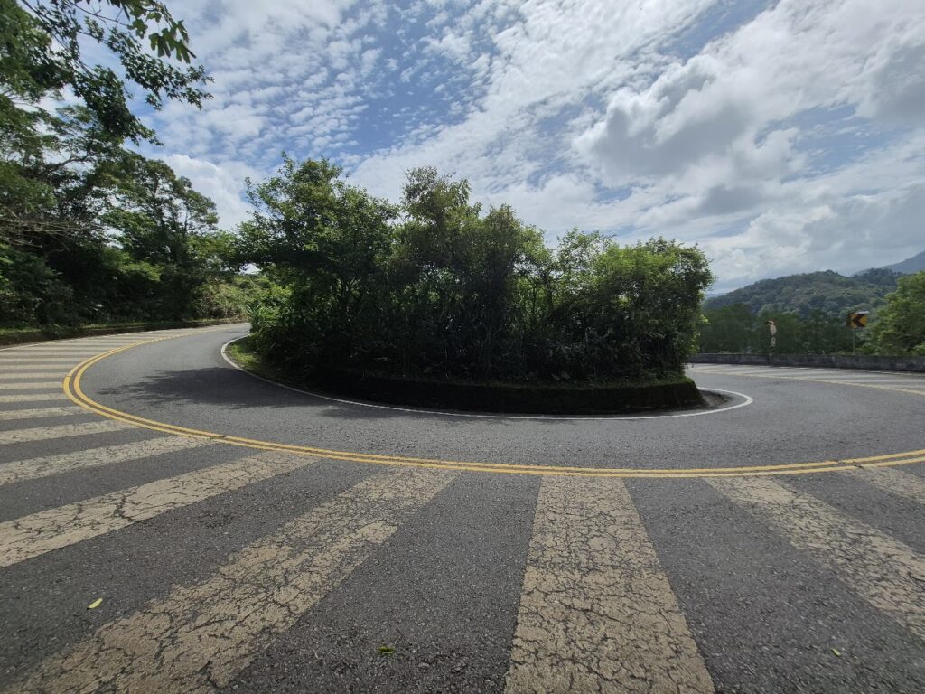
The end of the 196 connects directly to Provincial Highway No. 7C. This takes you on a dog-leg detour as the only means to cross the Qingshui River. Before the end of the No. 7C the rider takes a left turn to get onto Local Rd. Lan 51. This is definitely the highlight of the ride.
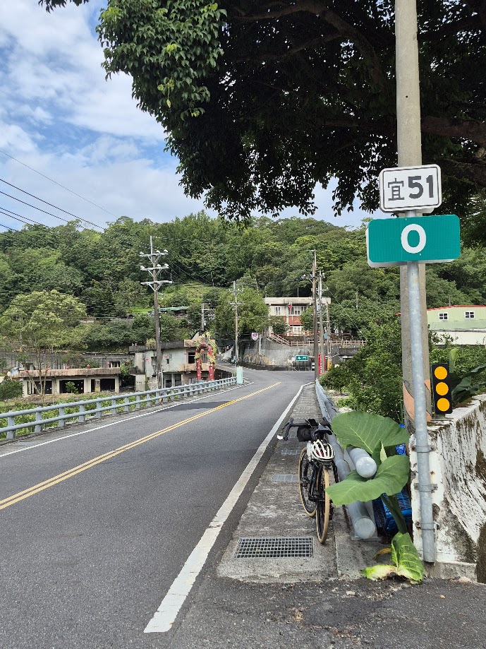
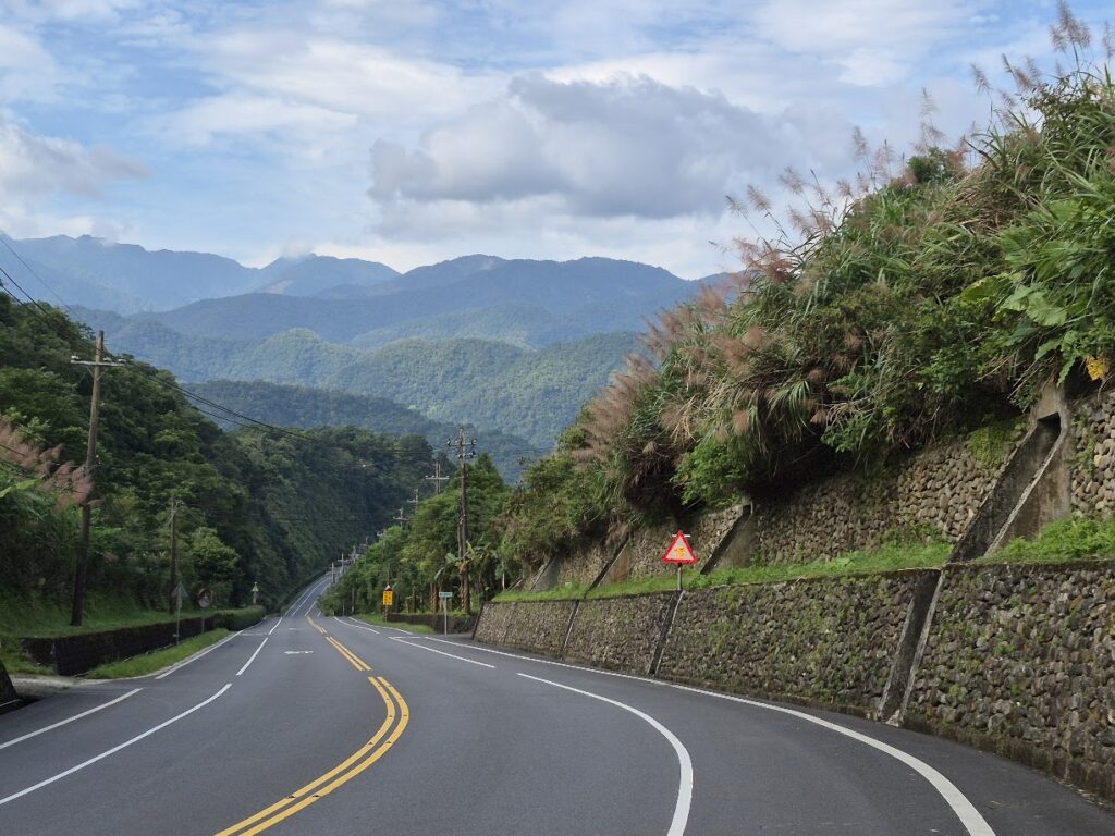
A really nice ascent on a forested road with lots of switchbacks over a distance of 16km. As you ascend, there are great views down to the Lanyang River, which is the main watermelon growing area of Taiwan. There are a few small villages along the way with local shops to pick up drinks.
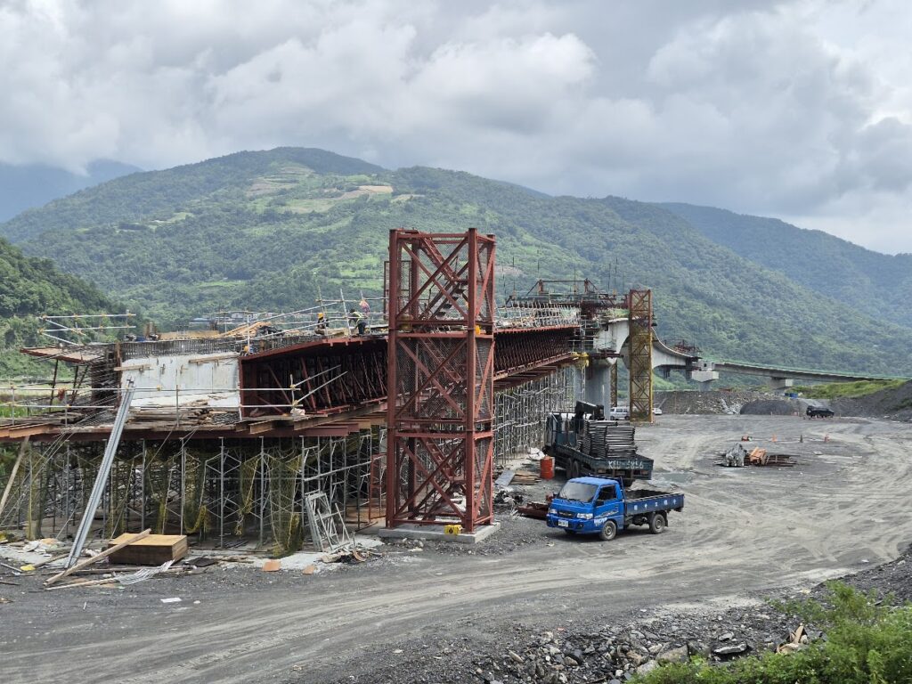
This area is primarily inhabited by the Kavalan Indigenous group. Most people will be more familiar with the name of Kavalan as a brand of whisky. Now you know where the name comes from. Riders should be aware that the Lan 51 is prone to landslides. At the time of writing, a major new bridge project is under construction to detour areas that are regularly damaged.
At the end of the Lan 51, turn left to access Taiping Mt. NFRA. A right turn gets you onto Provincial Highway No. 7A and No. 7 (this is the North Cross-Island Highway featured in #008 of our series).
You are now halfway through the ride, and all that remains is approximately 50km return to Yilan city. There are several kilometers of rolling before the main descent. Now on the north side of the Lanyang River, this is the main road connecting the rural farming areas to the city. As such, it gets a high volume of cabbage and watermelon trucks transporting produce to market. These drivers will give no quarter, so care is advised.
Otherwise, the descent is excellent on a good surface road. We have included a link to the
Lanyang 100K Cycling Challenge to be held in September 2025: Click here.
Here is the GPS info for this route: