Location: Taipei City – New Taipei City
Distance: 100km Elevation Gain: 1,100m
In our series so far, we have only included 2-3 rides that focus on Taipei. It does have the best bike paths along the rivers that criss-cross the city, and one advantage of living in the city is regardless of whether you ride north, south, or east, you have to climb out of the city and into low-level hills. West is the only direction offering a flat escape. So, it’s great for climbing.
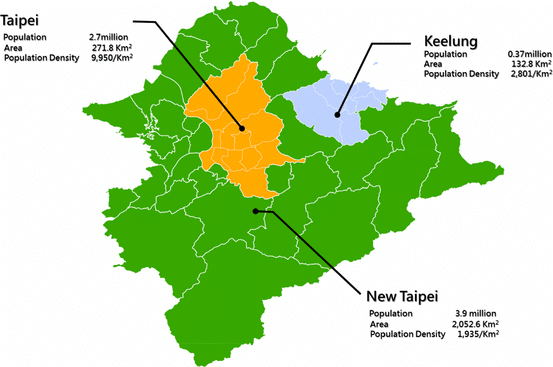
First, the geography/political map has to be explained. What was once Taipei County is now two separate administrative regions. New Taipei City officially became a city on December 25, 2010, when Taipei County was upgraded to a special municipality. This upgrade involved reorganizing the administrative structure of the former Taipei County.
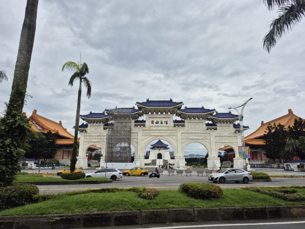
With that out of the way, we can now explain an exceptional ride that we believe deserves inclusion. For those dependent on public transport, we recorded the ride starting from Taipei Main Station in the center of the city. Turning right (east) from the station, it’s just a 5-minute ride to the 0km marker on Provincial Highway No. 9.
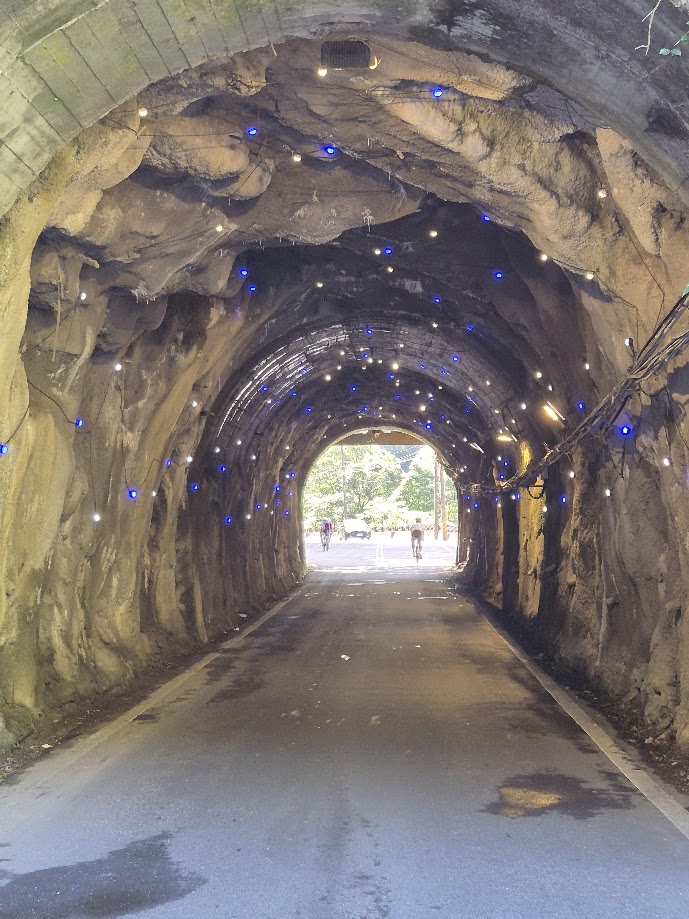
Naturally, there are several kilometers of flat urban sprawl to Bitan District to get through before the rider leaves the city behind and the fun begins. After 12km on Provincial Highway No. 9, the rider takes a right turn to get onto Provincial Highway No. 9A. Yes, a river bike path would be the best way out of the city, but they can be tricky to navigate if you are not familiar with them.
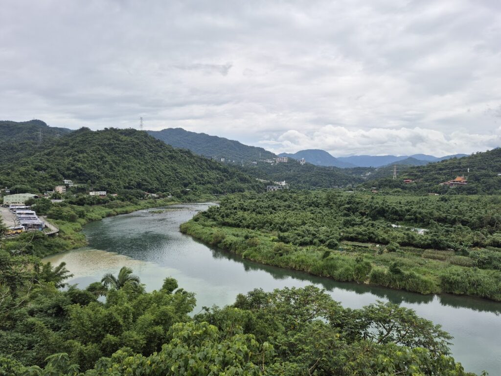
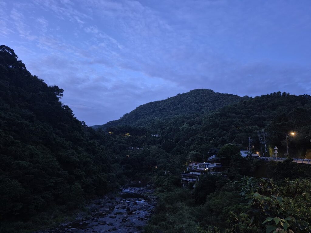
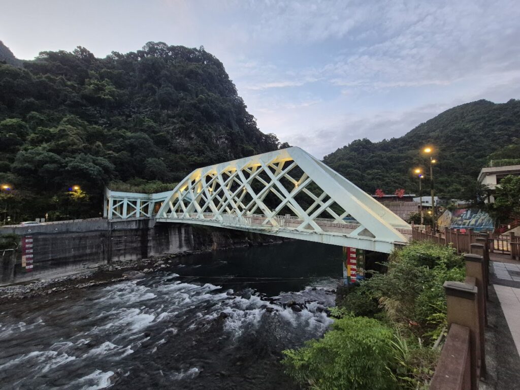
Once you leave the city limits, it’s completely rural farmland and practically a different world from what you have left behind. A quick look at any map will tell you that you are heading for the town of Wulai. This is an extremely popular hot spring area just 25km from Taipei. This is a great place to spend the night and pick up refreshments.
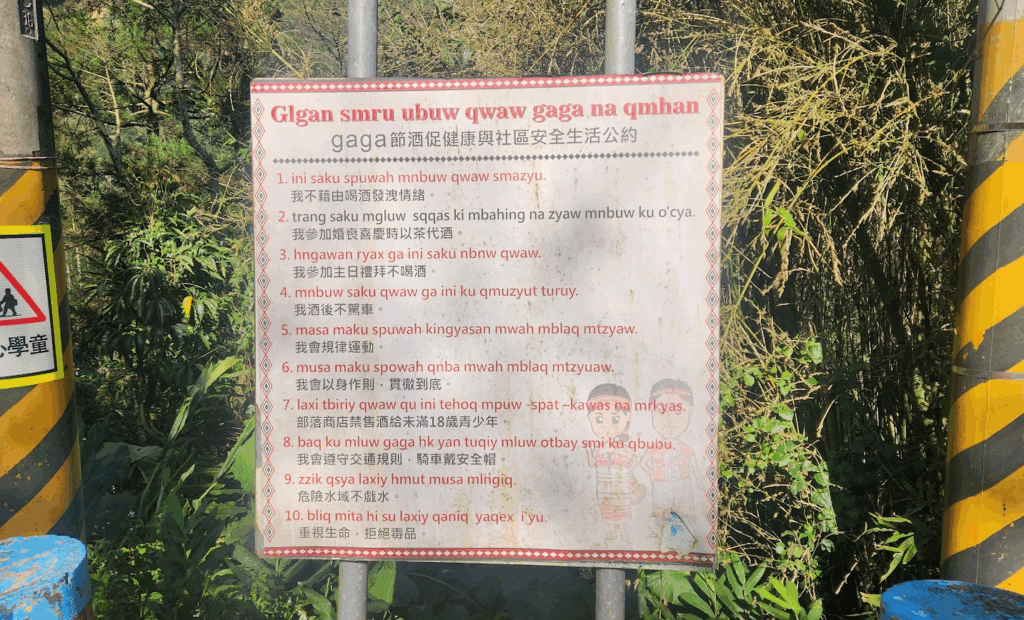
While most Indigenous in Taiwan are located in the south and the east of the country, the north is inhabited by the Atayal community. Murals and Atayal language place names are prevalent.
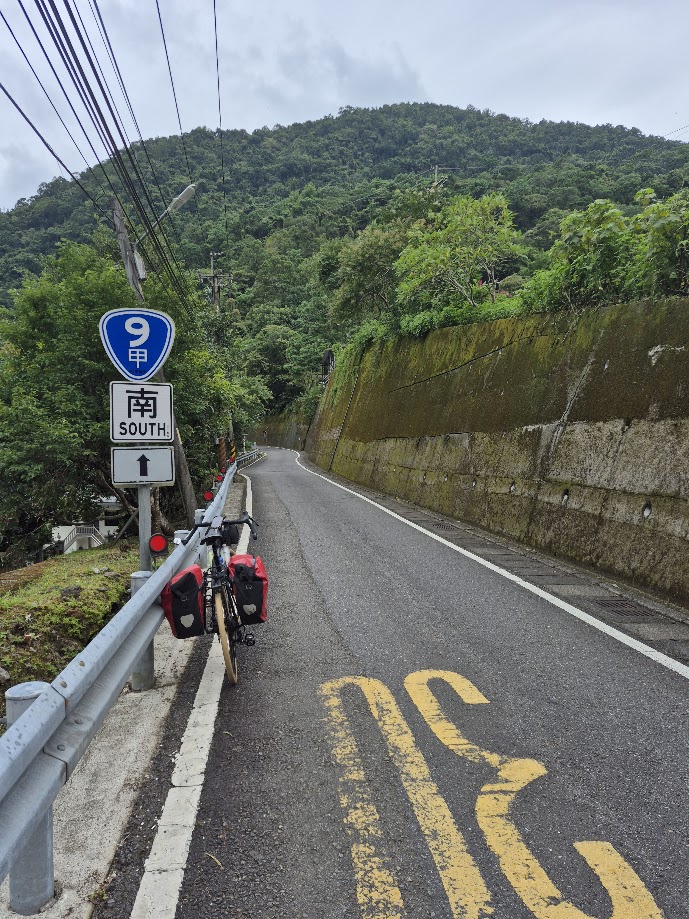
While most tourists will travel no further than Wulai, what lies beyond is what’s of real interest to cyclists. There are two options from this point. Continue on the No. 9A until it terminates 6km past Wulai. This is a very mild gradient road and only ascends to 250m at its highest point.
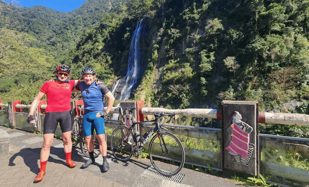
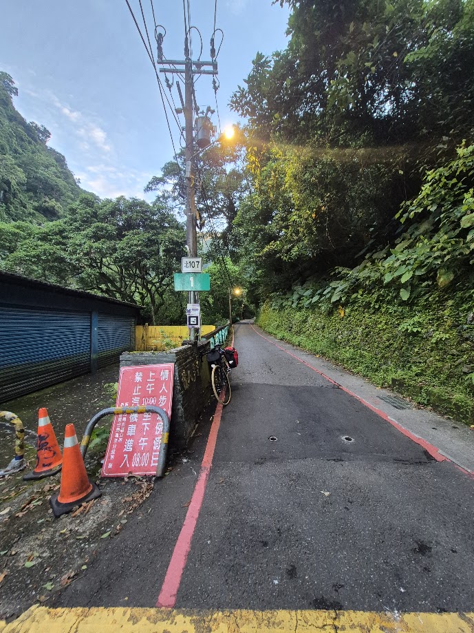
It is possible to ride beyond this point to Tonghou Waterfall, but the road is rough concrete and mossy; if you have made it this far on a road bike, it would be wiser to head back to Wulai to take on the second option Bei 107 from Wulai.
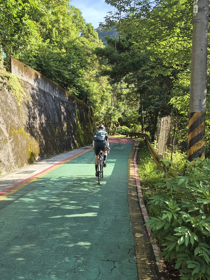
Local road, Bei 107, as stated above, starts from Wulai and is the highlight of the ride. This is extremely popular with Taipei riders, and you are guaranteed to see tons of cyclists on weekends. Excellent surface and moderate grade on the ascent, rising to around 400m.
Tourists are mostly heading to Neidong National Forest Recreation Area, a turn off for this is around 5km past Wulai. Take a look at this link for more information.
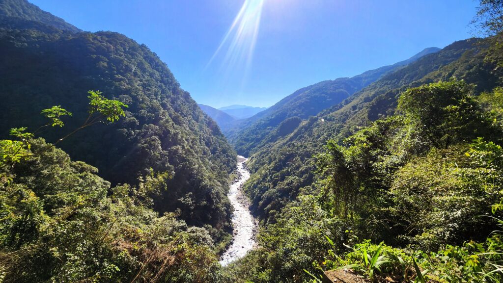
This is a much narrower road, and in some places, only one lane. There are several small villages along the way to pick up drinks, and no shortage of free-flowing water to cool off with. Locals have dubbed this area the Amazon of Taiwan, which is easy to see why with its lush vegetation and fertile ground.
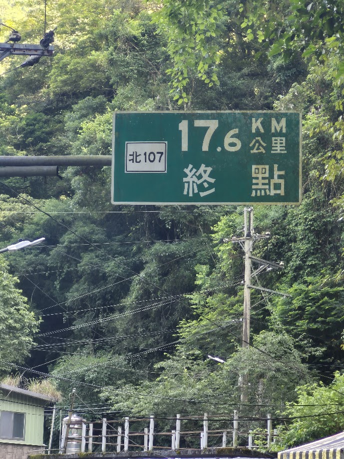
At the 17km marker on the Bei 107, you’ll arrive at the village of Fushan, where a few small shops and restaurants can be found. Most notably, this is the endpoint of the ‘FuBa Historic Trail‘: a 16km route that connects to Lala Shan on the North Cross-Island Highway.
Follow the same route or a river bike path back to Taipei to round out a decent century ride with approx 1,100m of ascent.
Here is an interactive map for this route starting near the Taipei Main Station and using the main roads to get to the Bitan Area and then to Wulai and Fushan. The river paths are also a great way to navigate the flat sections of Taipei; however, access in and out of the system can be a bit tricky, especially if you are new to the area. By no means are we against the network of cycling paths in Taipei – they are great!
Fushan is known in local cycling community as one of “Four Beauties of Wulai” (烏來四秀), basically four peaks in the Wulai area. Hope to see the other three make the Top 100. Lion’s Head Mountain (the highest and closest to Taipei) may be of particular interest to foreigners as the route goes by the site of a former WWII POW camp. There’s a plaque commemorating the POWs by the side of the road.