Location: Hualien (road/gravel)
Distance: 85km Elevation Gain: 1000m
In our series, we have covered several loop rides to cover specific counties and part of the grand plan is that every county will have at least one loop that is popular with local riders listed. For #066, we are in Hualien riding on some obscure roads in proximity to the city.
Most people associate Hualien with the KOM and the spectacular Su-Hua Highway along the east coast. However, there is still some great riding on rural county roads in the surrounding area. This 85km loop includes both scenic sites and rural areas that are great for a morning leg stretch.
From Hualien train station, head south/west on any road. Provincial Highway No. 9C tends to have less traffic than No. 9. This is a gentle ascent up to 150m on a good surface.
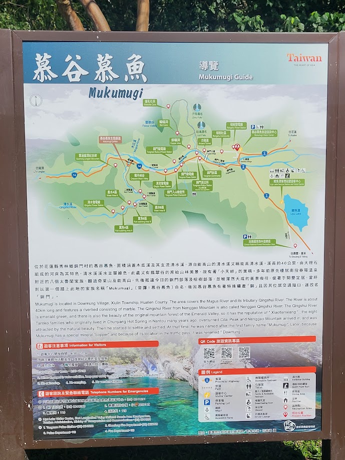
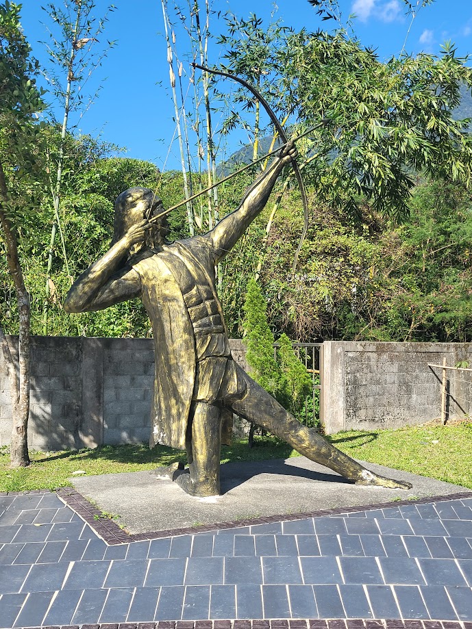
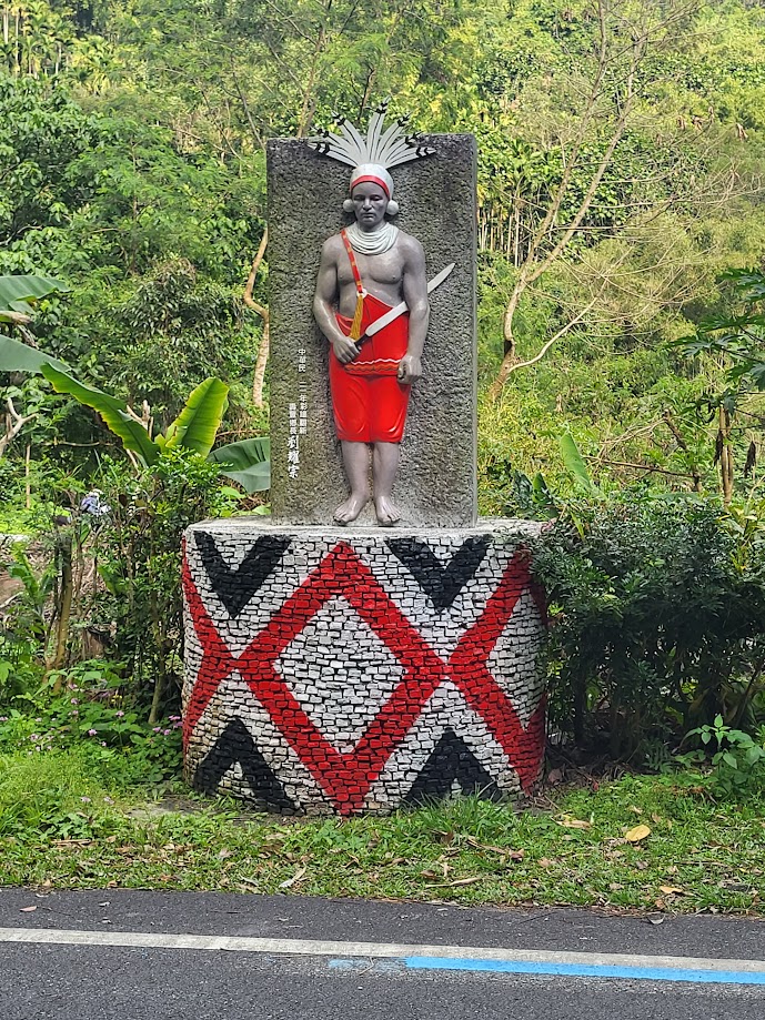
Partway along the No. 9C, it’s worth taking a slight detour up to Tongmen village. This is Ami territory, the largest Indigenous ethnic group in Taiwan. Although closed at the moment, this is the access point for Mugumuyu (Mukumugi) area, popular with tourists for river tracing. This side trip on the Hua 34 road just adds an extra 5 – 6km to the journey.
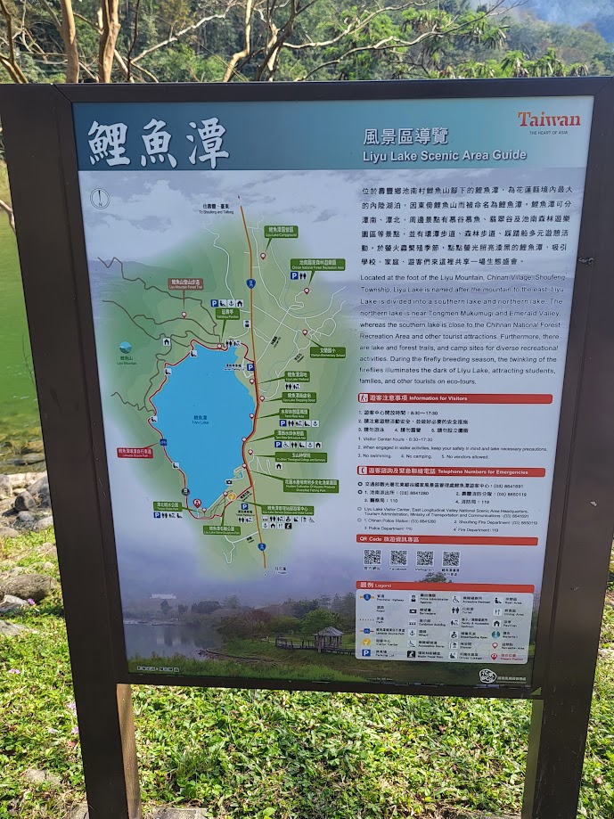
After 17km from Hualien station, you get to Liyu Lake, which offers a lot of family-friendly water activities. Take a left turn into the visitor center to access a bike path that circles the lake.
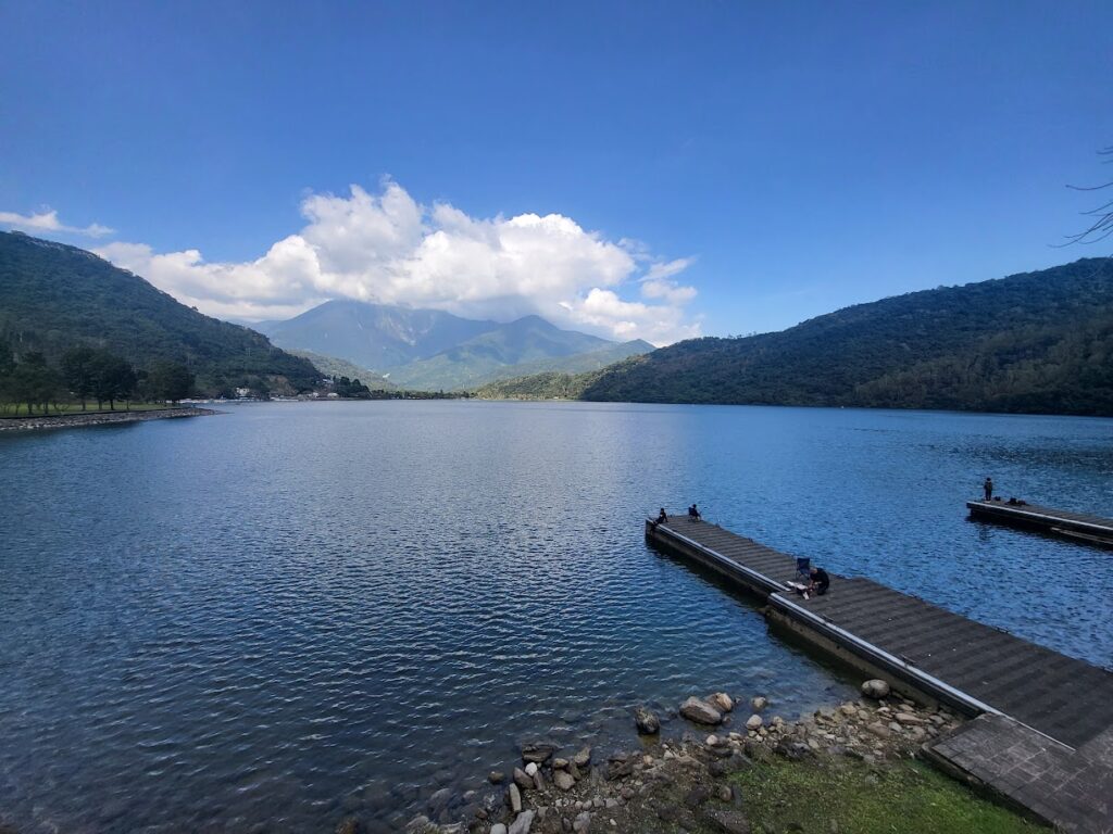
You will see signs along this road for Liyu Mt. hiking trail. This peak is one of the Small 100 Mountains of Taiwan and is well worth the hike for views of the Rift Valley from the top.
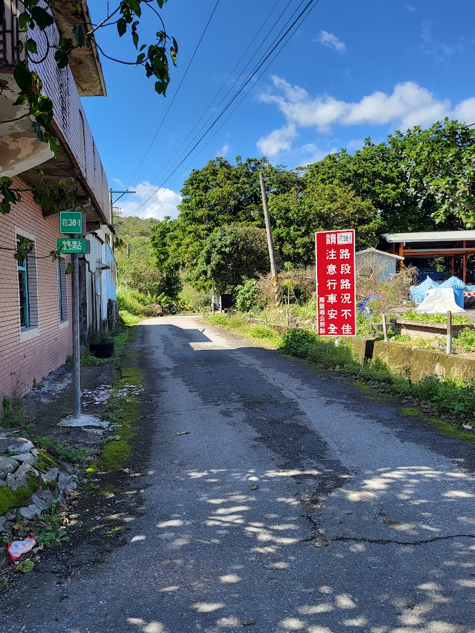
Once you rejoin the No. 9C (alternatively take the Hua 41 road, which runs parallel for a few km), head south to Shoufeng town. You need to pick up refreshments here, as there is nothing on the road after this point. Take a left turn onto the Hua 39, which will connect to the Hua 38-1.
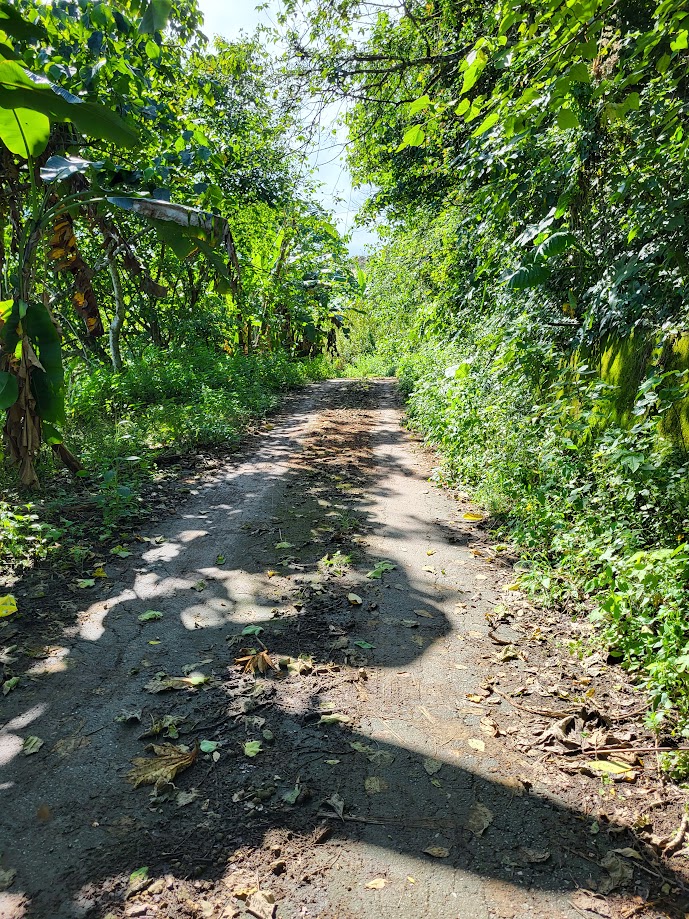
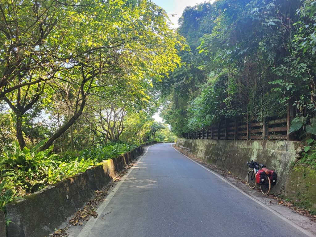
The first few kilometers of the 38-1 are flat, but then it kicks up quite dramatically. This road has been covered in a previous post #038 of our series, but in the opposite direction, east to west.
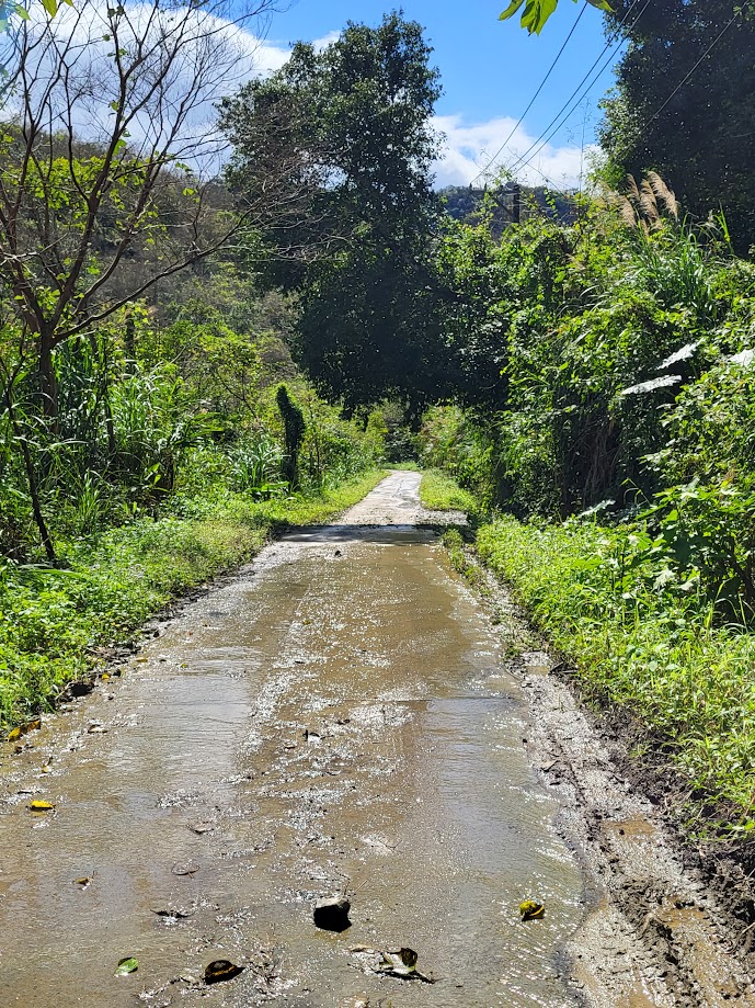
We included the following information about the 38-1: “This is a more obscure road than the Hua 46, which is further south, and very few riders do it. As such, there are a few rough, dodgy sections of broken concrete. Not to mention moss and leaves. This is definitely a road where a gravel bike or wider tires would be advisable”.
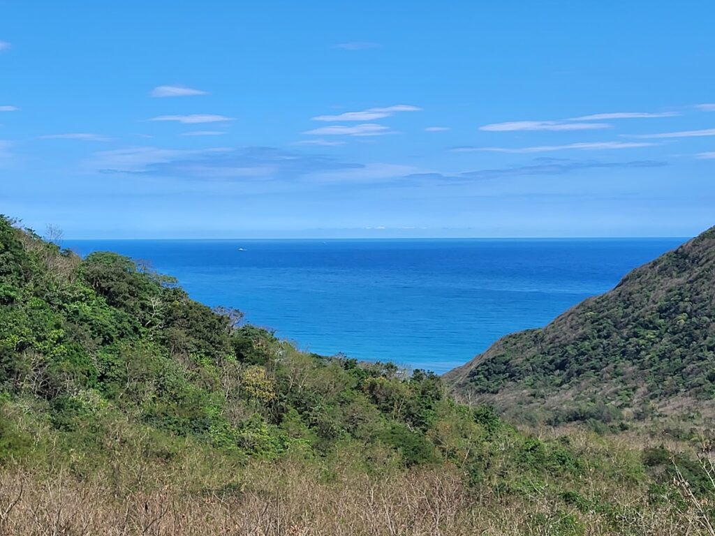
The 38-1 ascends to around 500m before a dramatic descent to the coast, where it ends at the 23.5km marker on Provincial Highway No. 11. A nice bit of flat coastal riding will take the rider back to Hualien train station.
Enjoy the ride.