Location: Pingtung
Distance: 60km Elevation Gain: 1,500km
In our series, we have covered two road bike routes in Pingtung which can be seen in #041 and #042 -both great rides. These two will act as a reference for the access points for our coverage of MTB routes in the same area. Public transport access is Fangliao train station.
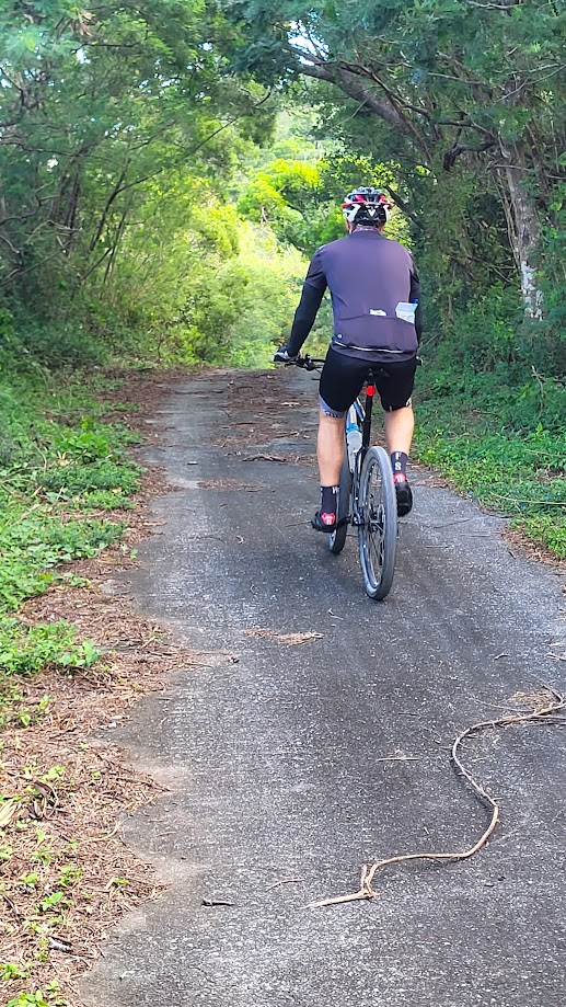
This time we are focusing on two off-road routes which are spectacular. The two routes cover a distance of 100km with over 3,000m ascent. No problem for a pro rider to cover this in one day, but for mere mortals we have split it into two separate routes.
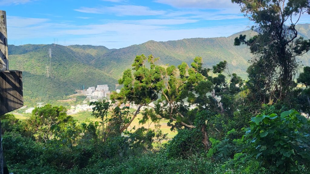
The start point for the MTB track is at the 35km marker on County Rd. No. 199. The first section we are covering in this post starts from the hot spring town of Sichongxi located at the 32km marker on the No. 199; lots of accommodation and food options here. Most of this track follows Tai Power access roads to electricity pylons. This first part is really steep hitting 20%+ gradients on a mix of hard surface and gravel.
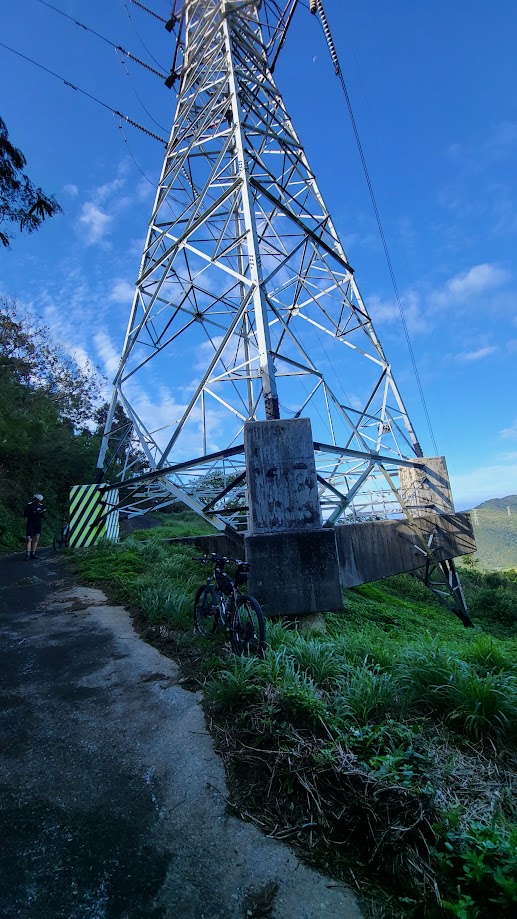
After this, there is great gravel downhill for a few kilometers before the road starts climbing again. I would advise the rider to pay attention to the track. There are numerous tracks leading off to the left and right making it difficult to determine if you are on the right route.
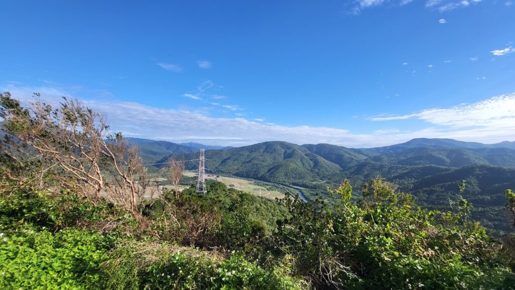
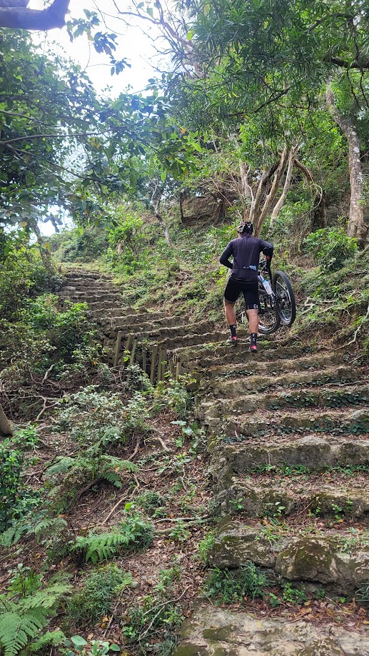
As can be expected in this very hilly part of Taiwan there is no flat riding or even what might be described as undulating terrain, there are three fairly big ascents from 100 – 300m with some parts going over 20% gradients making it no faster to ride than walk.
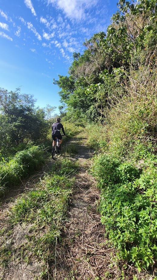
After the third of these descents, 25km into the ride, this section ends by exiting on a concrete road which pops the rider out at the 3km marker on County Rd. No. 200. From here it’s a 5km ride east on the road to access the next section just past the 8km marker on the No. 200.
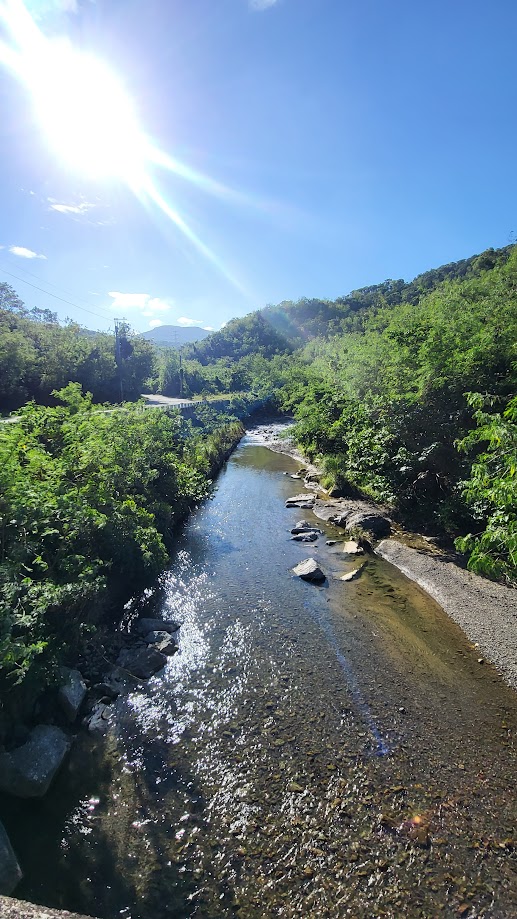
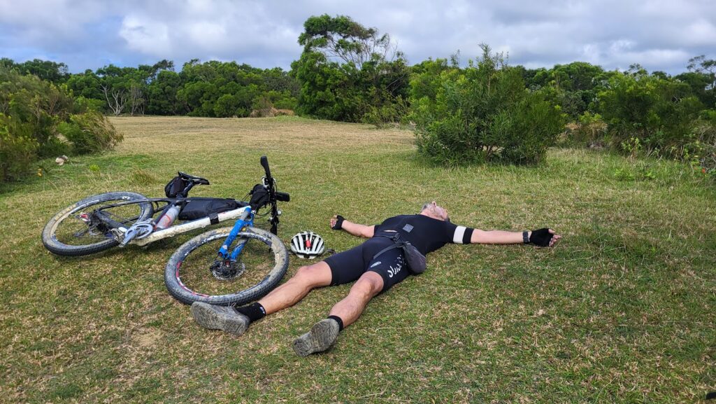
The next few kilometers are flat along a river path, this petered out and we found ourselves hiking along the river for a couple of kilometers before we found a trail exit and a steep ascent of 200m before we reached the ridge line. At this point we had already been out for quite a few hours so we exited the trail at Nanwan Beach on Provincial Highway No. 26.
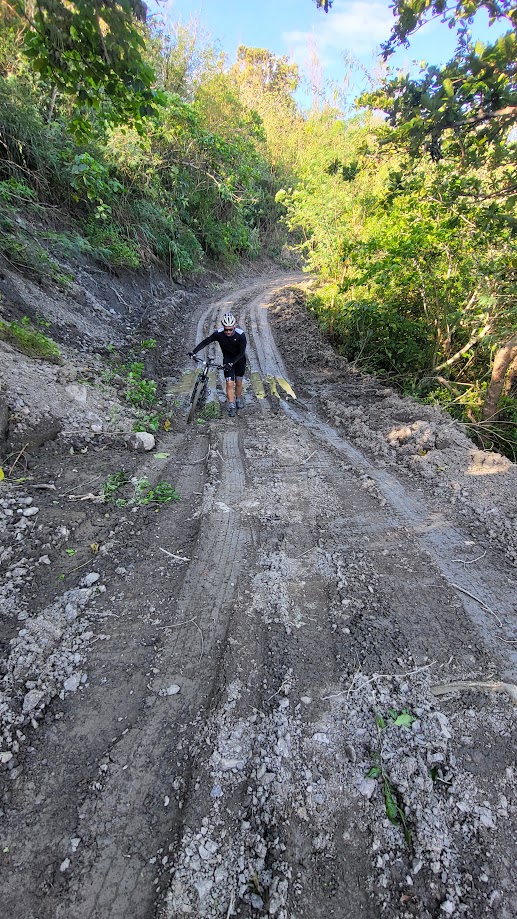
We entered the next off-road area just south of Nanwan along the road that leads into Sheding Park, which is a hiking section of Kenting National Park. Quite a few hikers on the trail here, but after a couple of kilometers we were riding on a mix of trail and grassland. This only went up 150m and there are great views of the east coast here.
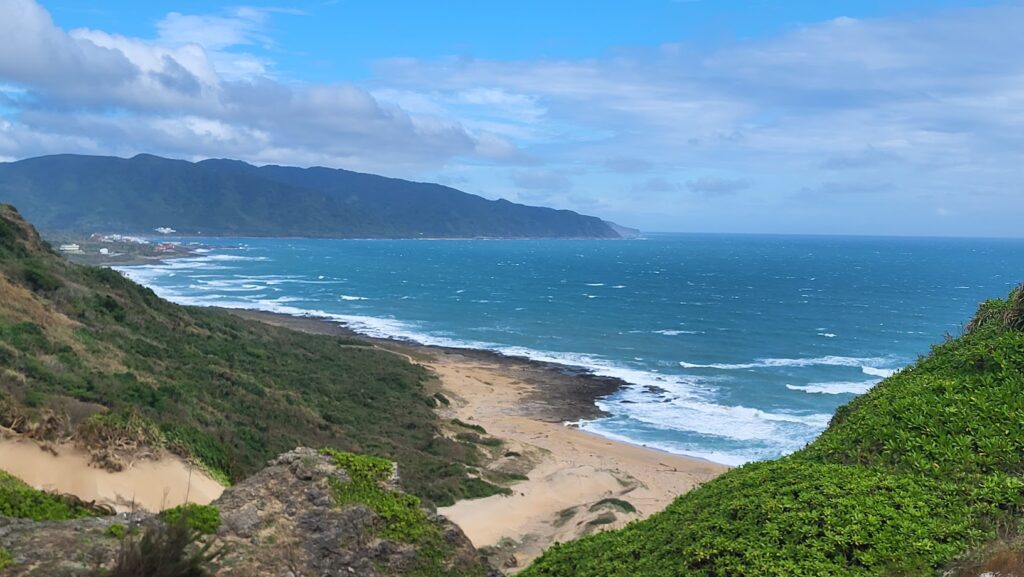
Some parts of this were also tricky to follow and it wasn’t always clear if we were on the right track. After 17km the trail popped us out on the east coast road of Provincial Highway No. 26 for a 10km ride back around to our west coast starting point.
There is a bike service station with free showers and hot springs at Sichongxi. Also in this area from the end of November until March the hot spring festival with lights in the park, is worth checking out.
Here is the GPS info for this route: