Location: Taichung
Distance: 130 km Elevation Gain: 1,360m
This might be regarded as one of our more obscure inclusions in the ‘Top 100’ rides of Taiwan, however, it has been included for the reward of a distinctive feature in a picturesque environment. As the title indicates the objective is to reach a statue halfway up an ‘industrial’ road in a remote part of Taichung.
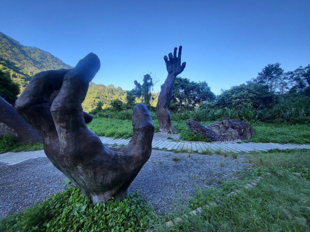
There are numerous ways to get to this location which will be briefly mentioned below. On this particular occasion, I decided on the path of least resistance opting for the rural train station of Houli on the northern outskirts of Taichung.
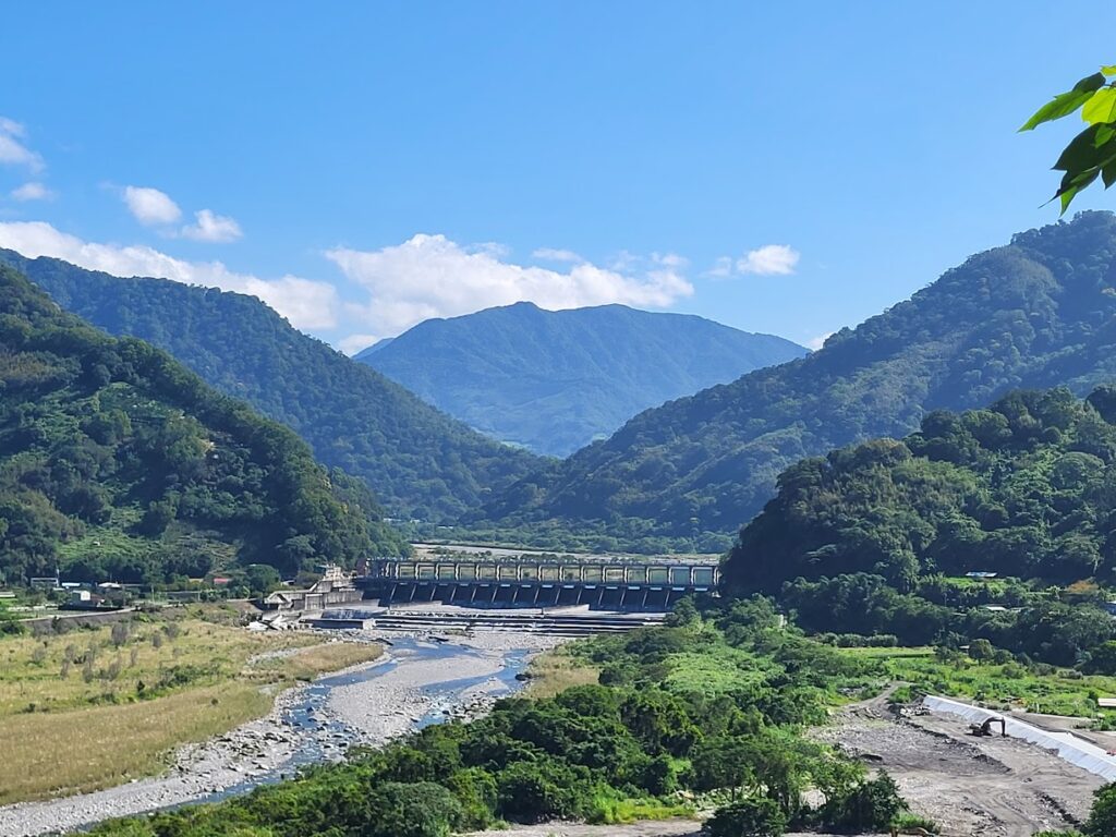
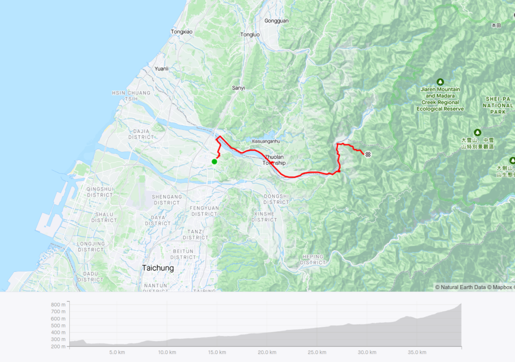
Heading north out of the station there is a pleasant path running parallel to the train tracks and this ends after 5km at the Da’an River. Once you cross the bridge you are on the No. 140 Rd. at the 16km marker. One road, due east on a slight incline for 20km until you come to a T-junction intersection with the Chung 47 Rd. (13.5km marker). Turn left here and continue for 8km – this is where the climbing starts. Not outrageous gradients, but a steady uphill to an elevation of 600m.
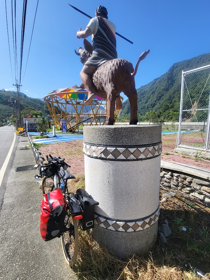
This is Atayal indigenous heartland and there are numerous signs on the road directing you to different villages of the Taoshan Tribe.
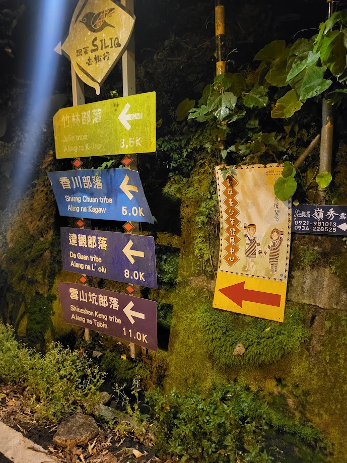
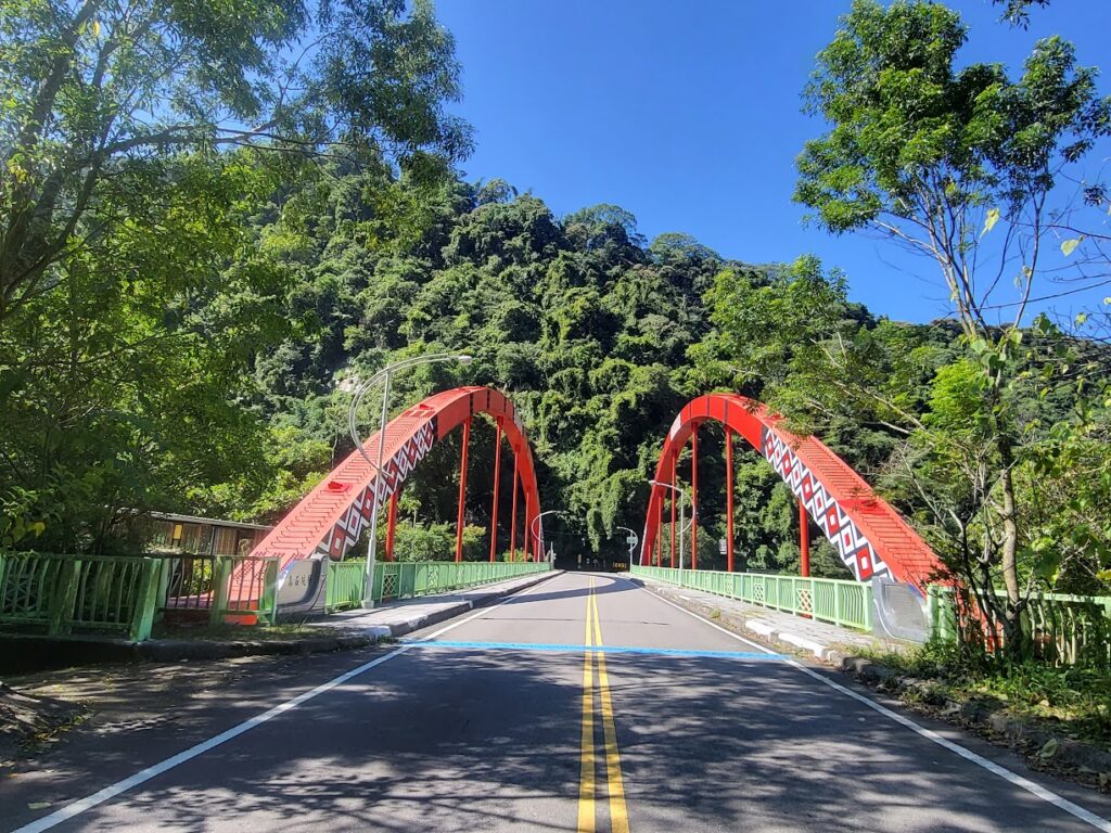
There is a Hi-life convenience store on the right and this is the last place to pick up supplies. At the 21.5km marker on the Chung 47, you cross a single hoop bridge, as opposed to the double hoop that most rural bridges are constructed of. A small road turn-off to the right is the Xueshankeng Industrial Rd. To this point, you are riding on a perfectly smooth surface, but the industrial road is a mixture of concrete and gravel for 7km and 200m ascent to the statue. Narrow road tyres are definitely not ideal for this terrain and slick wet patches of moss.
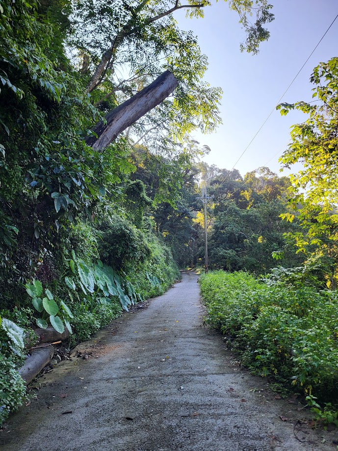
It’s a really nice bit of country side riding on a forested road with the sight and sound of the Xueshankeng River all the way up. No surprise that this area was also one of the filming locations for the movie “Sediq Bale”. At 6.5km up this road there is an abandoned power company shed where cars park, then it’s 500m to the statue at an elevation just shy of 900m.
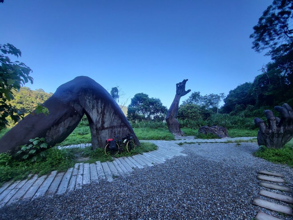
It has to be said it’s an impressive site in the middle of nowhere and has an interesting story behind it. There are different opinions on the origin of the statue. At one point in time, there was a plan to develop this area into a farm called ‘Snow Mt. Garden’ similar to the ones at Cingjing and Wuling, but there were objections from the local Atayal indigenous community.
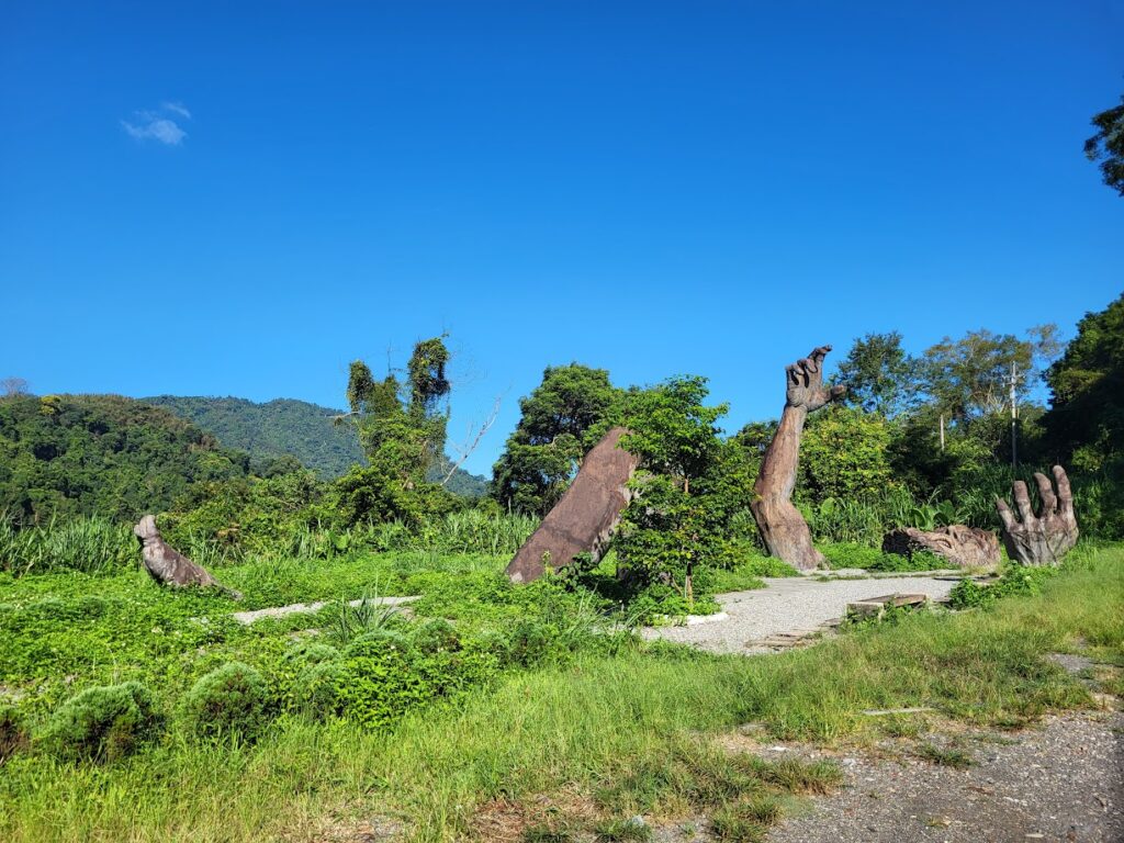
One story goes that it is to commemorate a worker who died when the farm was being developed. Half of his body was buried in the soil. His expression and gestures are exactly what the worker looked like when he fell into the valley.
The other story from Atayal mythology is that a giant kept eating livestock, so the locals disguised heated boulders as animals and the giant died after eating them.
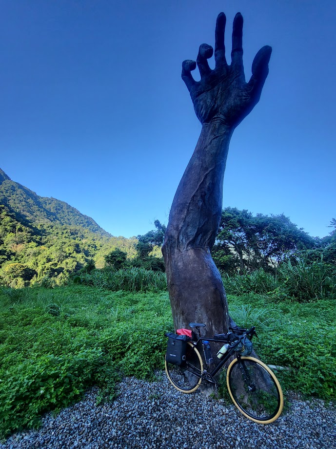
Bizarrely, there is not a single sign to confirm or deny either of the above stories at the location.
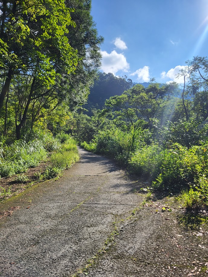
If you have made it this far then there is no reason not to head back down the way you came up, but if you are on a gravel bike you might be inclined to follow the road on up to end some several kilometers away. The road condition does not get better the higher you go, but there is that option.
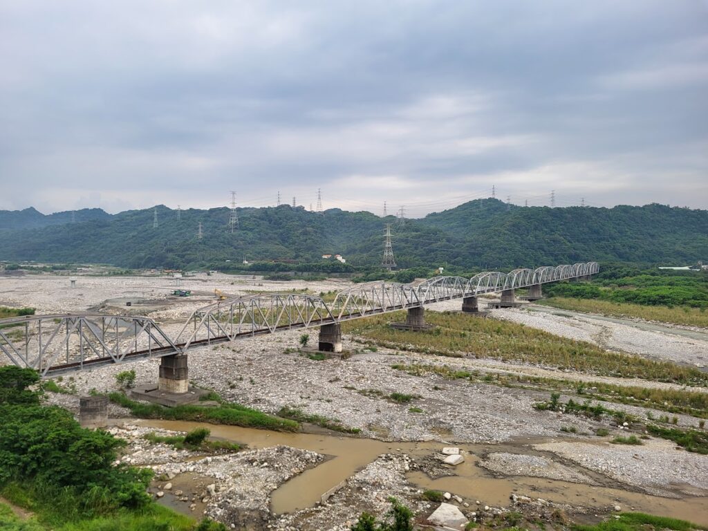
For the return journey, I would advise following the Chung 47 south and looping back into Taichung city which will round out at approx’ 100km, but there are numerous options to get you back to the civilized world. As can be seen from the track posted below I headed south towards Yuanlin in Changhua to round out the journey.
Further reading and some information in Chinese here. Also if interested in hiking in the area here is some information about a loop trail in Chinese.