Location: Nantou – Dirty Formosa 100
Distance: 45km Elevation Gain: 1,400m+
Located in the center of Taiwan and the only land-locked county, Nantou is a cyclists and hikers’ paradise. As such, it should be no surprise that more of our rides are focused on this area.
In this post, we cover two roads in Nantou County. This is not an easy area to access by public transport. The nearest train stations are Taichung and Changhua, which you would choose depending on whether you are traveling from the north or south of Taiwan.
From either of these stations it is a 50km to 60km ride to reach the start point of the route we are covering which starts from Puli Township. It is possible to take a public bus to Puli and your bike can be placed in the luggage compartment.
Puli is a small city with a population of 77,000 at an altitude of 450m that has everything you need with regards to accommodation and food. Of interest to some, it is the geographical center of Taiwan and there is a monument which marks the exact center of the country.
Those familiar with race events in Taiwan will know that this ride forms part of the course for the ‘Dirty Formosa 100’ a race that covers 100km with an elevation gain of 3,700m.
Dirty Formosa is an organization all about promoting off-road cycling and outdoor experiences. including Taiwan’s most epic gravel challenge. This post covers the first 40km of the event. The second half is covered in #004 – Li Sying Industrial Road/ Nantou 89.
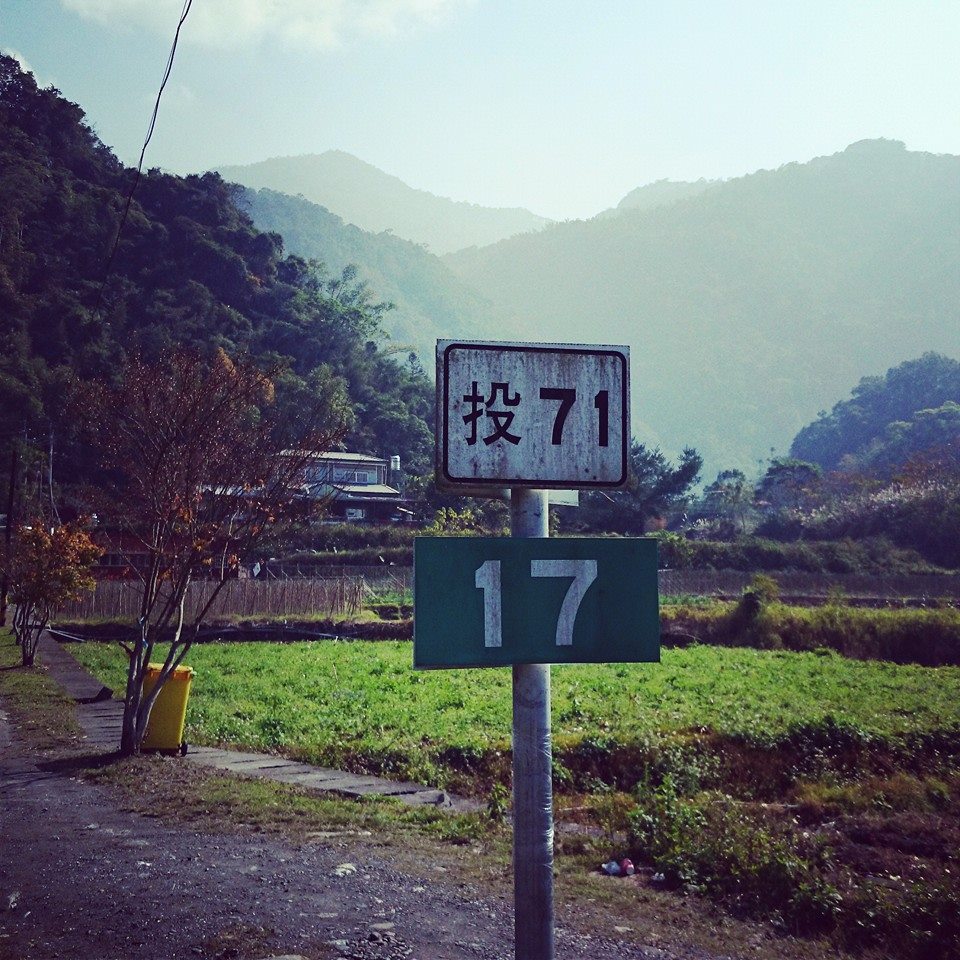
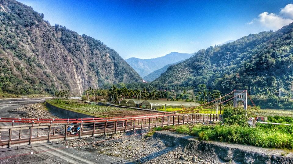
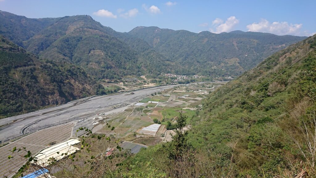
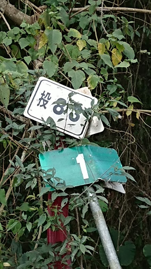
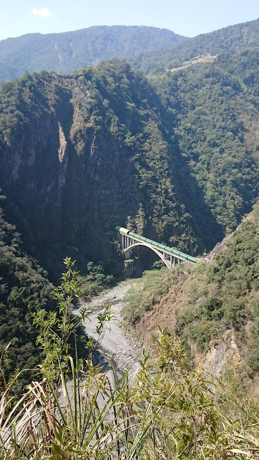
From Puli bus station head southwest on County Rd. No. 131, Zhongzeng Rd. to access the Tou 71 which becomes Wujie Rd. For the first 15 km, it’s a steady ascent on a good surface up to 800m. From here there is a steep descent down to the village of Wujie. The rider crosses the Zhuoshui River which is the longest river in Taiwan. There are a few small shops in the village to pick up supplies.
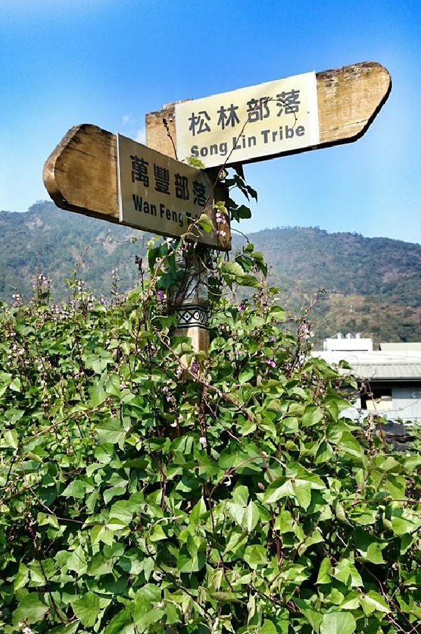
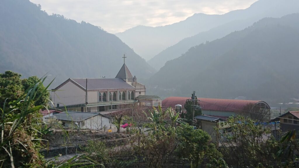
It will be obvious to the rider that this is a predominantly indigenous area with Atayal, Bunun, and Tsou tribes distributed throughout northern and central Nantou. Each village you pass through will have at least one or two churches – a legacy of Christian missionaries who converted the locals over the years.
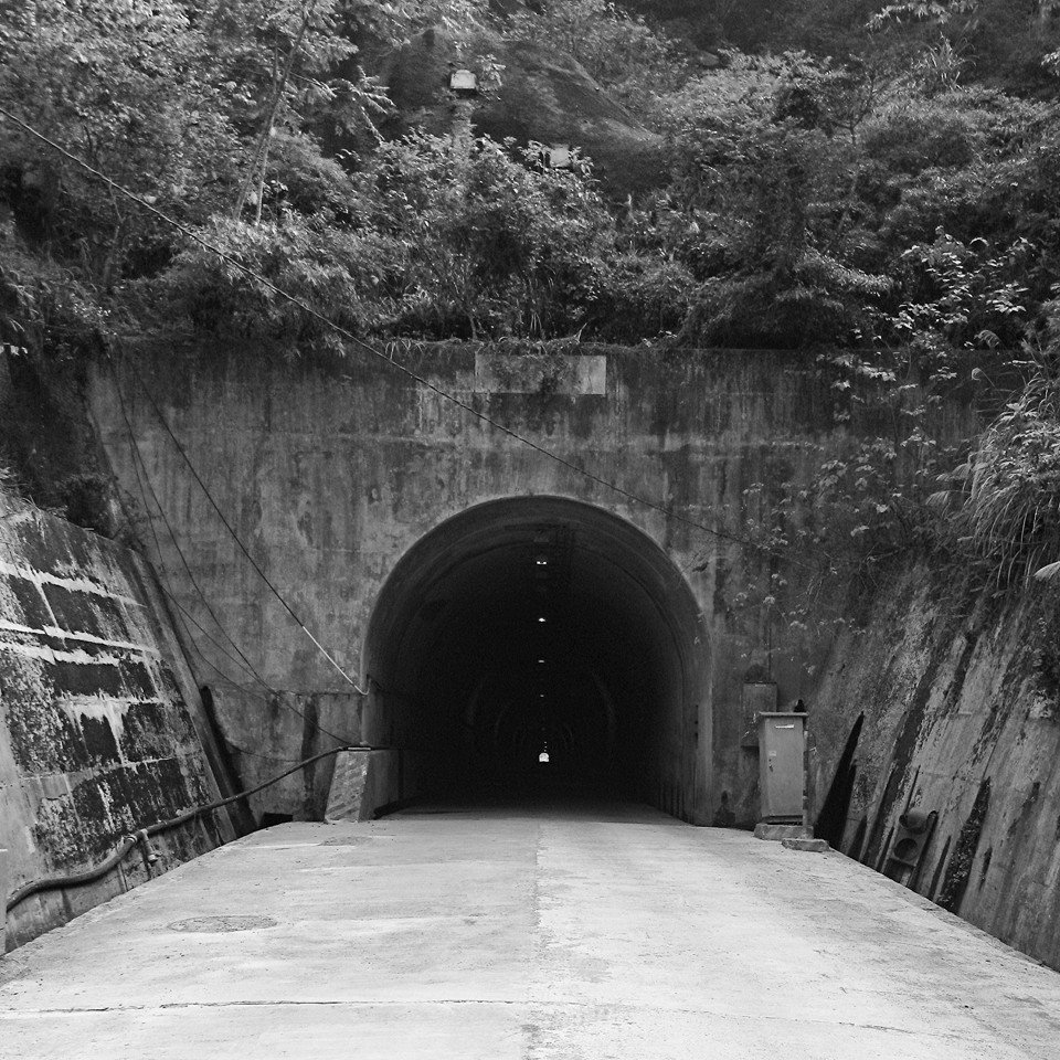
From the GPX track we have provided you will see that some gravel exploring was done along the river, but this is not advisable on a road bike. Following the full course of the Dirty Formosa 100 is possible on a road bike, but there are a lot of rough concrete sections.
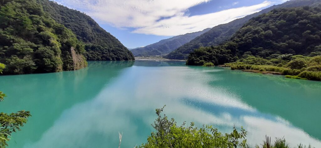
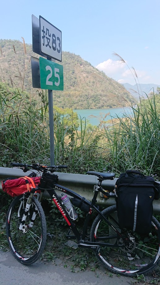
As you continue along the Tou 71 you will come to Wujie Reservoir on your left and at this point, the road becomes the Tou 83. This is fantastic riding on an undulating road that parallels the river for 10 km.
After 30 km you will see a right turn for Daan Rd which is the access to Aowanda National Forest Recreation Area (NFRA). There are a total of 20 NFRAs in Taiwan, several of which we have covered in previous posts. This is extremely popular with locals in the Spring season for viewing the cherry blossoms and in Autumn for the maple leaves. Also popular with hikers as this is the trailhead for the Nenggao Andongjun section of the high mountains. It’s a 10km descent down to Aowanda which is well worth the visit.
Back on the main road, you should follow the Tou 83 and after a few kilometers, you will see Wushan Reservoir on your right. From here it’s just a 5km ascent up to Wushe village in Renai Township where the road connects with Provincial Highway No. 14. This is a road familiar to all cyclists in Taiwan and is covered extensively in #002 – Puli/Wuling Provincial Highways No. 14/14A
Wushe offers plenty of accommodation and dining options, making it easy to find a place to stay or gather supplies. Just 5 km up Provincial Highway No. 14A there is a turn-off to the left for Nantou Route 89. Take this road to continue the Dirty Formosa 100 to the end.