Location: Pingtung
Distance: 131 km Elevation Gain: 1500m
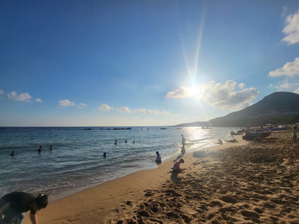
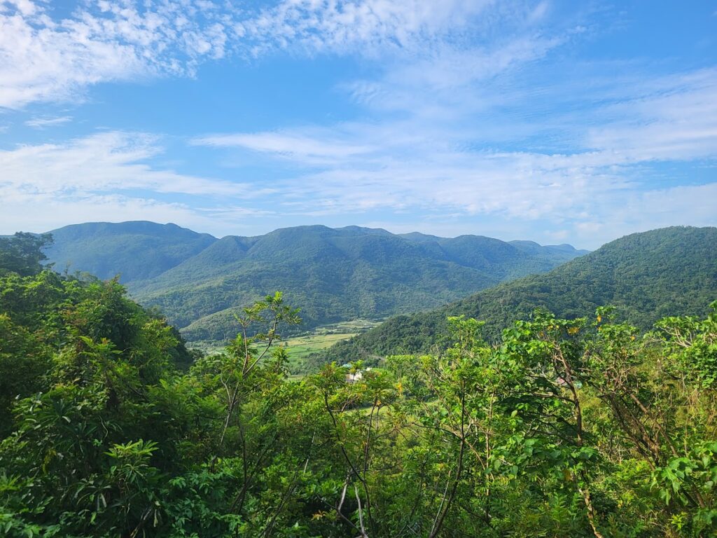
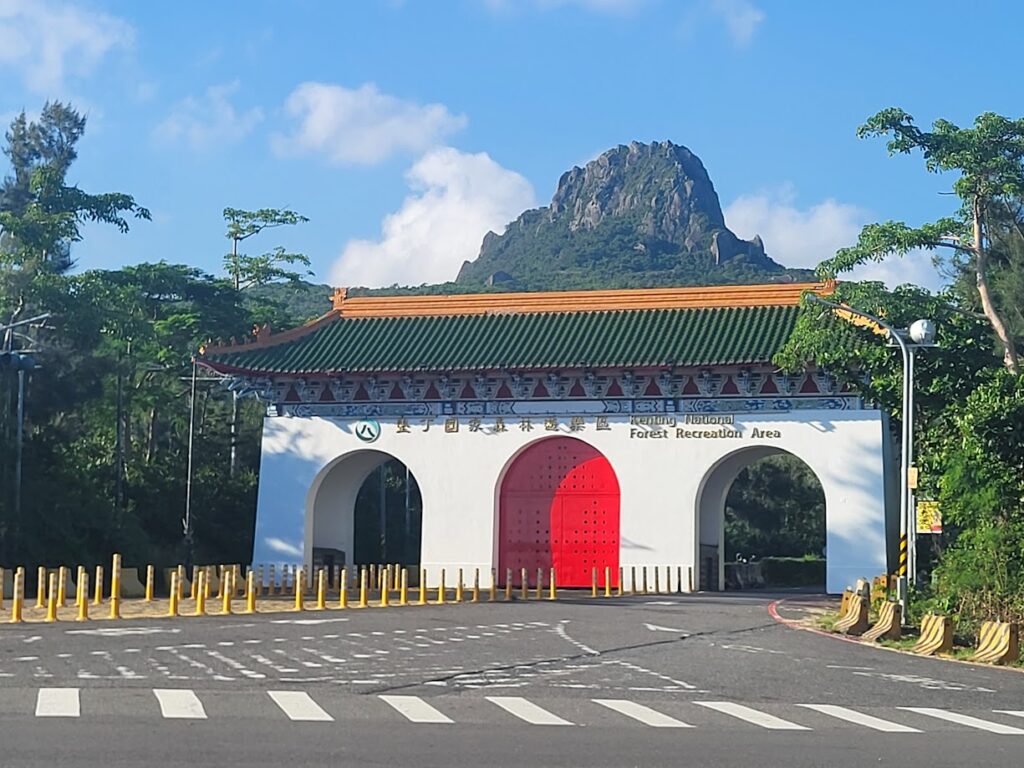
Pingtung, the most southern county of Taiwan, is one of the less mountainous parts of the country, but despite this, there is no shortage of great rides on undulating terrain that will give the rider a good workout. It should also be mentioned that these rides are primarily within Kenting National Park which is arguably the best beach area in Taiwan.
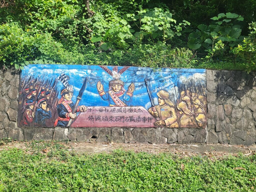
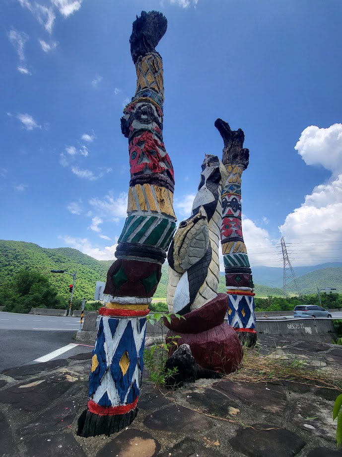
In addition to this you are now entering the heartland of the indigenous Paiwan Tribe. Each road and village is adorned with murals and carvings promoting and memorializing their culture and history.
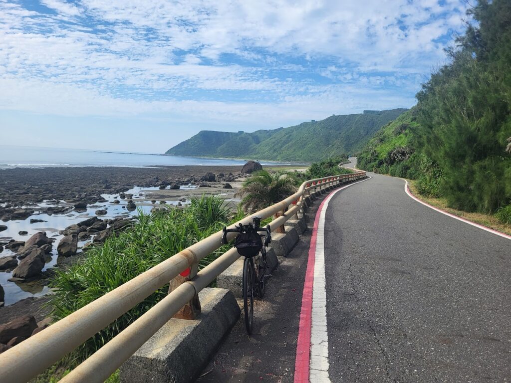
For our series we have decided to include two rides which will cover what we consider to be the best roads in Pingtung. Part 1, below, is a longer loop covering 131km in distance and what’s not to like about a ride that traverses from coast to coast twice.
The nearest access by public transport is Fangliao train station. From here it’s exactly 20km south on Provincial Highway No. 1 to Fenggang in Shizi Township. By car this would be the best place to park. At this point the No. 1 intersects with two other roads – Provincial Highways No.s 9 and 26. At this point the rider must decide to ride clockwise up the No. 9 or counter-clockwise on the No. 26. I would advise the latter as this keeps the rider on the right-hand side of the road along the coast.
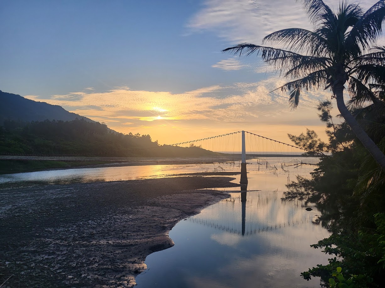
Riding south the next town on the No. 26 (16.5km marker) is Checheng followed by Hengchun a further 7km down the road. Hengchun is a bustling town with lots of accommodation and food options. At one point in time this was the first and only ‘city’ in the south of Taiwan.
It has huge historical significance and the following article in the Taipei Times illustrates its importance and good reasons to spend a night here.
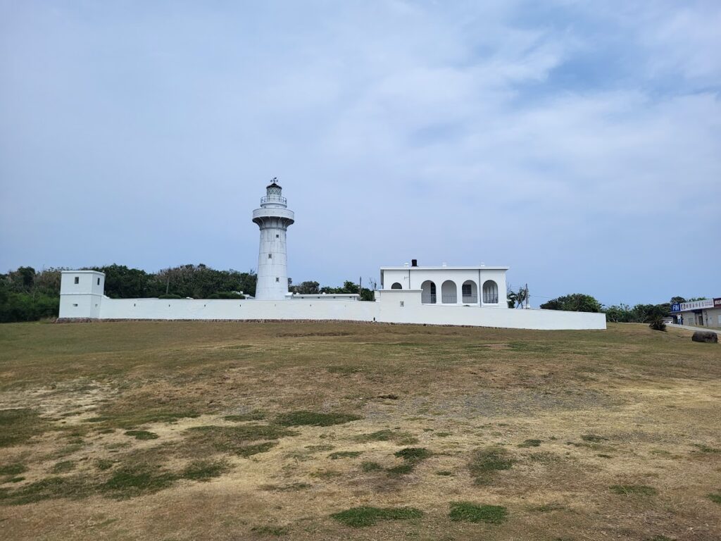
At the 35km marker the rider comes to Kenting town which, is the primary hotel and beach area not to mention it’s famous night market. To this point the ride is mostly flat. Another 8km takes the rider to Eluanbi Lighthouse and the Most Southern Point of Taiwan. Lots of photo ops.
The ride is undulating from here and offers some of the best views of the Pacific Ocean on the east coast. The No. 26 road breaks at this point at Jialeshui (a popular surfing location). The confusing thing for riders not familiar with this area is that there is no road along the coast from here, so the rider must turn left onto the No. 200A road which, after 4km, becomes the No. 200. Just a few kilometers along the road there is the town of Manzhou. There are plenty of shops here to pick up supplies.
The No. 200 is fantastic riding, very little traffic and lots of hills for 25kms until it ends at Gangzi and rejoins the No. 26. Another great bit of coast riding for 7kms until the No. 26 ends at the hot spring town of Xuhai. A left turn here takes the rider onto the No. 199A for a fairly steep 8.5km climb to Dongyuan Village. At this point the rider joins the No. 199 Road. There are a few noodles and rice cafes here. Turning right on the No. 199 continue northeast for 12kms to Shouka at 480m. There is a cycling rest stop here with toilets and a free water filling station.
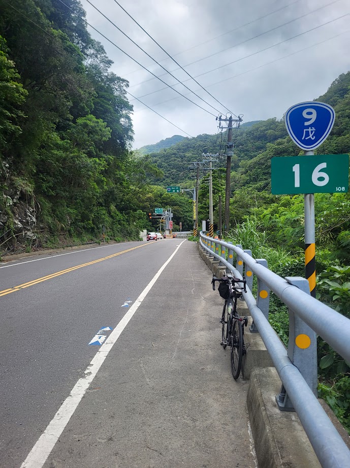
The No. 199 joins Provincial Highway No. 9E and a relief that the climbing is over. The No. 9E is quiet and mostly only used by scooters, but as you descend 4km back to the west coast it rejoins the No. 9, the primary road connecting Pingtung to Taitung and is busy, so caution is advised at weekends. There are a couple of convenience stores along the way. On the left, there is a turn-off for Shuangliu National Forest Recreation Area. Otherwise, it’s an enjoyable 20km downhill to complete the loop at Fenggang on the No. 1.
Be advised, this ride was done over two days, so the graph at the bottom is incorrect at 117km. This loop is in fact 150km as stated in the article.