Location: Hualien/Taitung
Distance: 150km Elevation Gain: 2,000m
If you happen to be in Taitung this is one of the best loop rides in the county. It has been named ‘Double 23 Loop’ as the two main roads involved are numbered ‘23’. The first is Tung 23, a county road and the second primary road is Provincial Highway No. 23 (Tai 23). In addition to these two roads the rider must approach the route from Provincial Highway No. 11 on the east coast and last but not least the connection between the Tung 23 and Tai 23 is accomplished by connecting the two on county road No. 197.

I would advise the rider to overnight at Donghe, located at the 131.5km marker on Highway 11 and approximately 35km from Taitung train station. There are both accommodation and food options here – the town is locally famous for its bread dumplings. Pick some of these up for the ride. The loop we have outlined is 137km with close to 2,000m ascent, not impossible to start from central Taitung, but it would make for a long, tough ride.
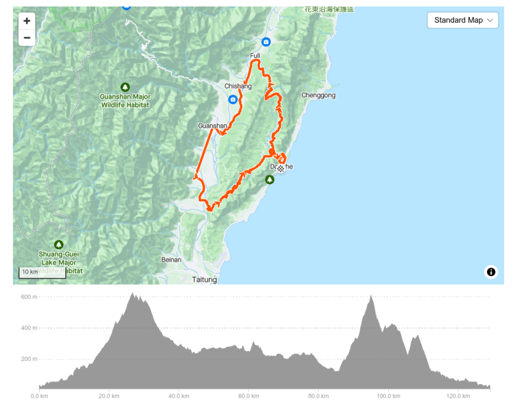
Donghe is at the end of the Tai 23 and the rider will loop back to this location. From this point, it’s a gentle 6km ride up to the village of Taiyuan. You will pass a scenic spot called ‘Monkey Bridge’ along the way. Lots of monkeys congregate here waiting for the unsuspecting to pull out some food.

There is a left turn at Taiyuan which takes the rider onto the Tung 23 road. A few small shops and eateries exist in the village and this is your last chance to pick up supplies for the ride ahead.
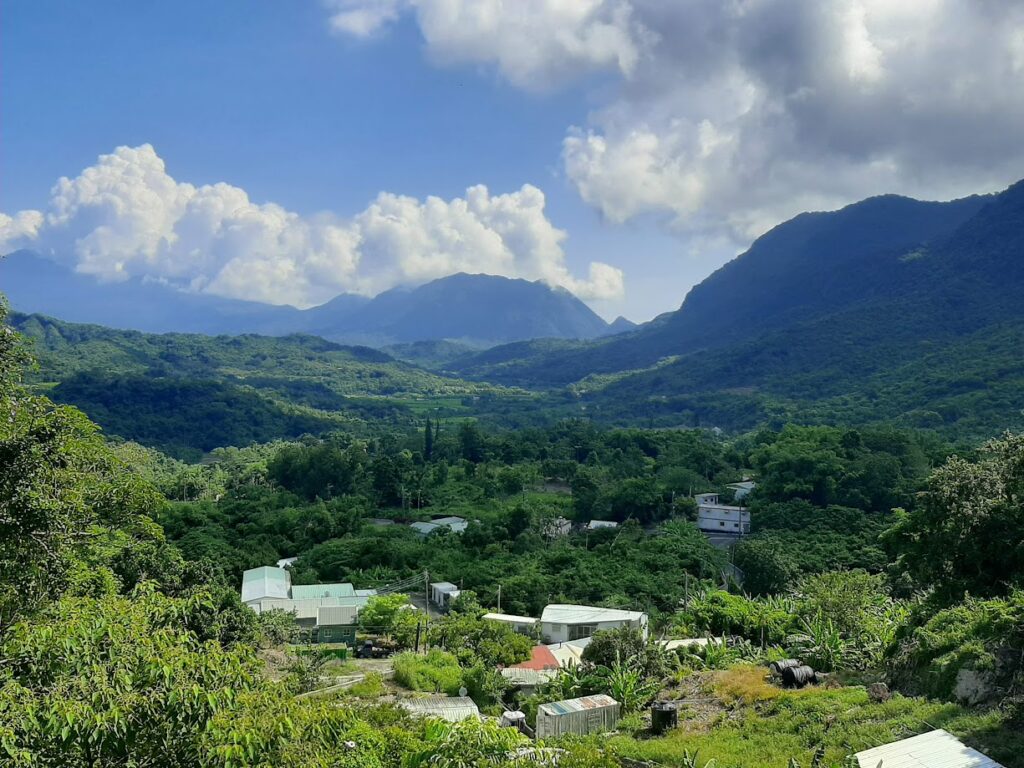
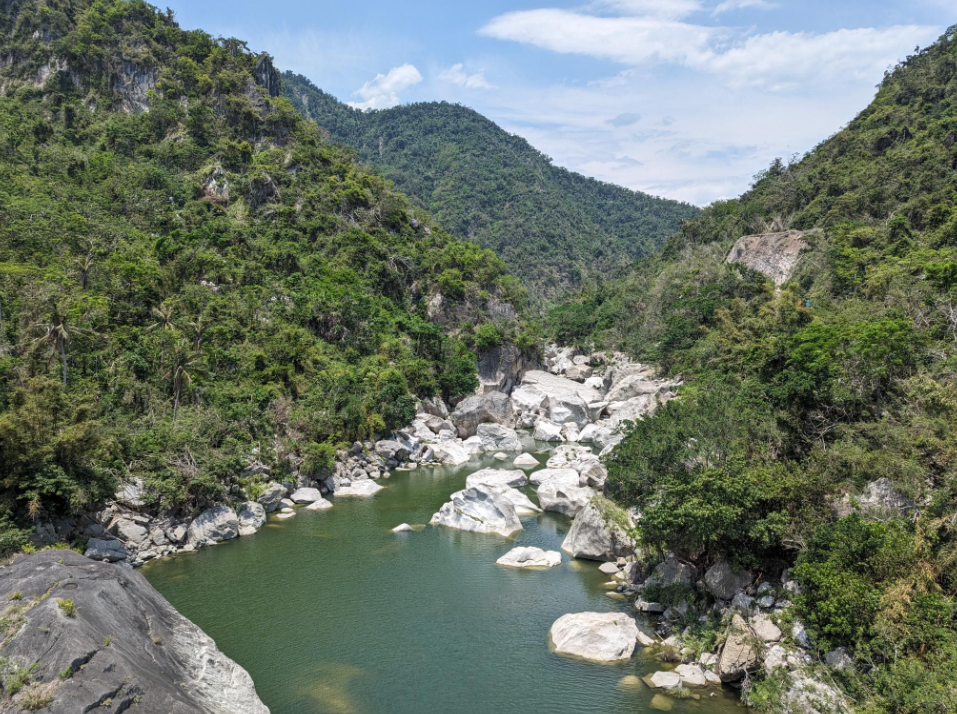
The Tung 23 has several hundred meters of ascent passing through a few small villages. It has spectacular scenery riding straight through the coastal mountains with a middle-of-nowhere feel about it. Best of all the rider will be able to count the number of passing cars on one hand. As you ascend to around 600m you will notice that the road changes from Tung 23 to Tung 40 – the same road, just different numbers.
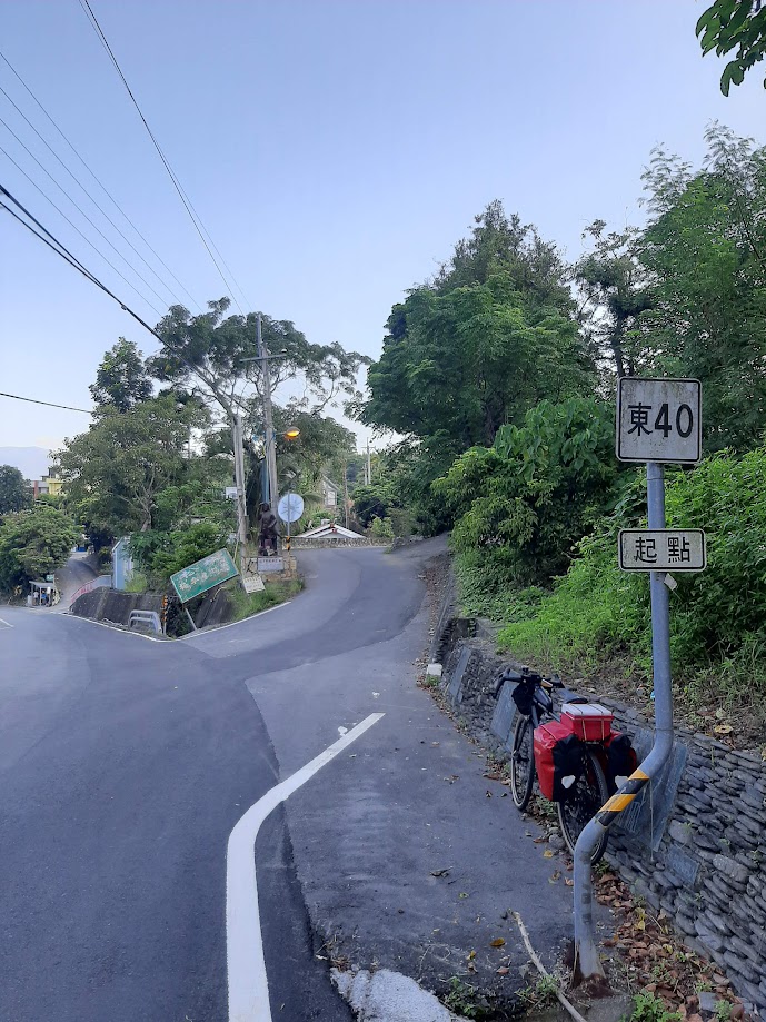
After 30kms you will come to the village of Zong Shan, located at the 43.5km marker on the No. 197, where you take a right turn to the north. Road numbering and km markers provide useful information to cyclists and should be paid due attention. The ’43.5km marker mentioned above tells you that you have exactly that number of kms to ride to the beginning of the No. 197 (0km marker) at the town of Chihshang on Provincial Highway No. 9.

(Note: From the 37km marker to the 23km marker on the No. 197 there is a 14km gravel section. Possible, but not ideal on a road bike. In addition, none of it is flat, so there is also quite a lot of ascent before reaching Chihshang)

From Chihshang it’s 7km north along the No. 9 to the town of Fuli – plenty of shops, restaurants and 7-11s at both locations. Fuli is the 0km marker on the No. 23. While slightly busier than the Tung 23 for traffic it could be argued that the 23 is one of the best cycling roads in Taitung.
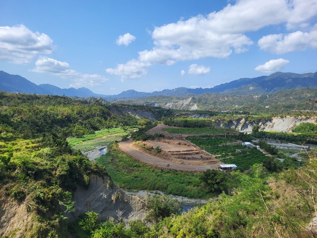
The first few kms are mild gradient before the climb begins. Be advised, there are no shops on the road, but it is magical for scenery. Riding parallel to a river and surrounded by rice paddies before the real climb begins. There is approximately 10km of ascent to the 17km marker which is followed by several more kms of undulation. From the 23/24 km marker, there is an excellent descent back to the starting point of Donghe.
The following article which covers a similar route appeared in the Taipei Times in Nov. 2021. This would be an alternative to start from Taitung City via the 197, rather than Donghe.
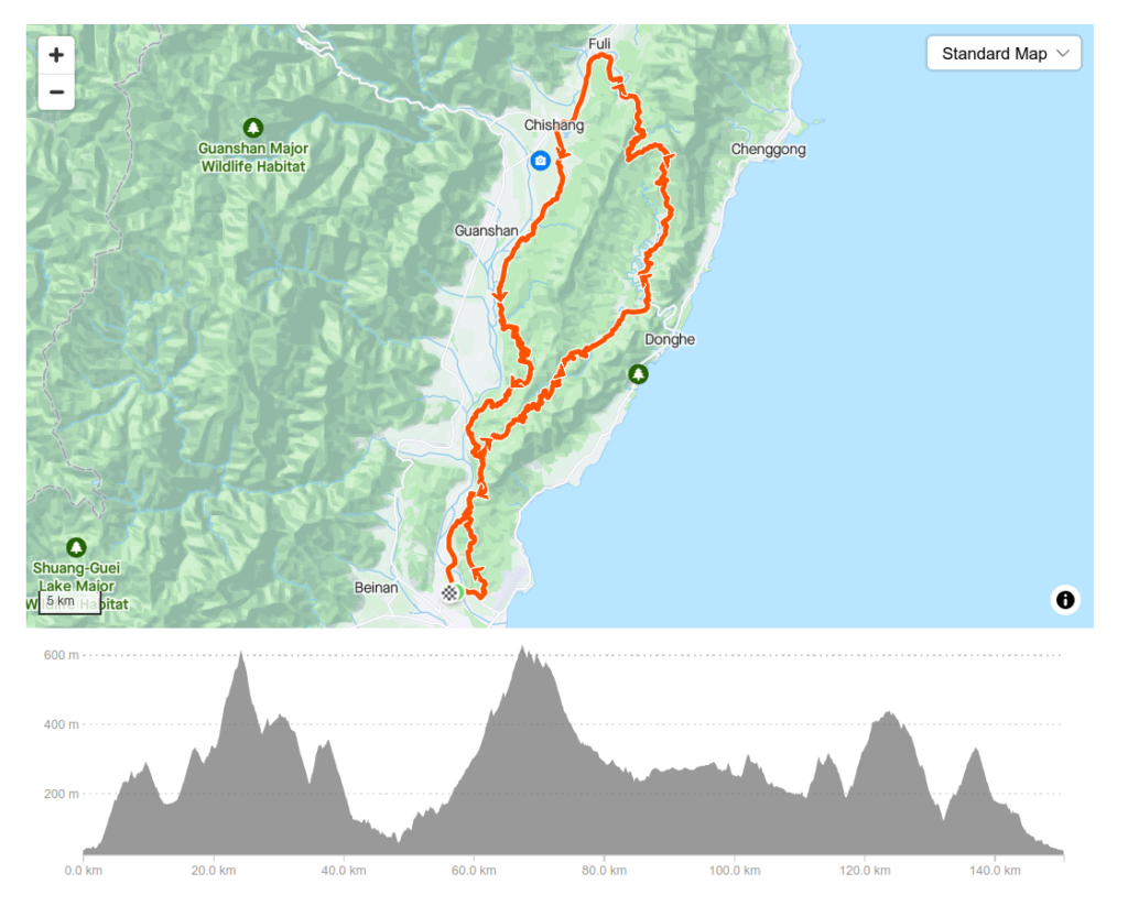
Here is an interactive GPS map with the start point at Donghe.