Location: Kaohsiung (Qishan)/Tainan/Kaohsiung
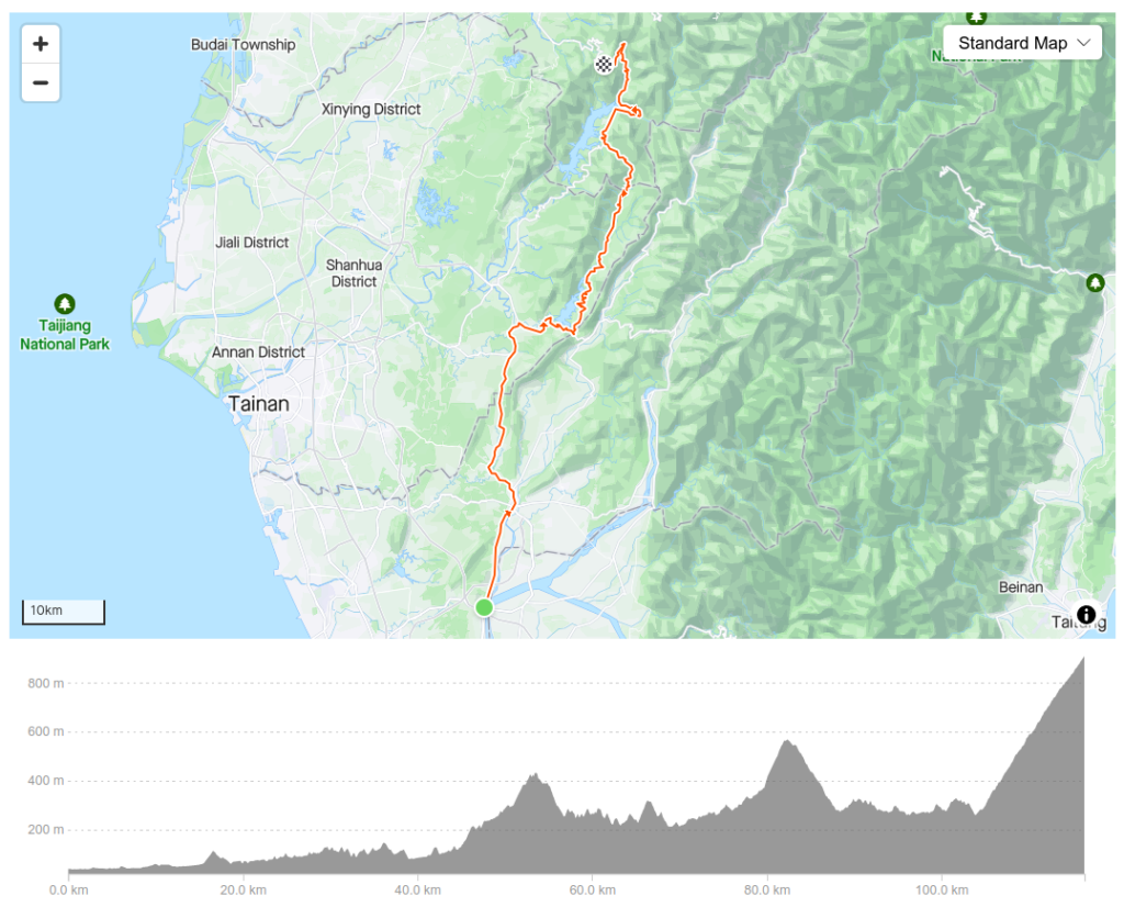
Distance: 117km Elevation Gain: 1,000m
Provincial Highway No. 3 is one of the longest roads in Taiwan and is 435km end to end. It starts in Taipei and ends in Pingtung. Also known as the Inner-Mountain Highway the road travels through mountainous towns in Western Taiwan. Doing the road from end to end is popular with ultra-riders looking to complete it in 24 or 36 hours.
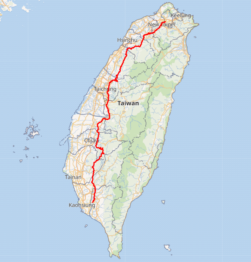
Anyone who has ridden this road will confirm that there are very few sections that are flat. Undulating for most of its length, but there is only one major climb on it which starts in Chiayi. This article covers a 90km section that passes through 3 counties, Kaohsiung, Tainan, and Chiayi.
#024 in this series covers the road riding from north to south, in this installment we go through the same route from south to north.
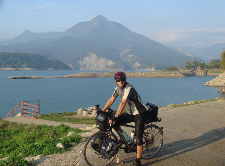
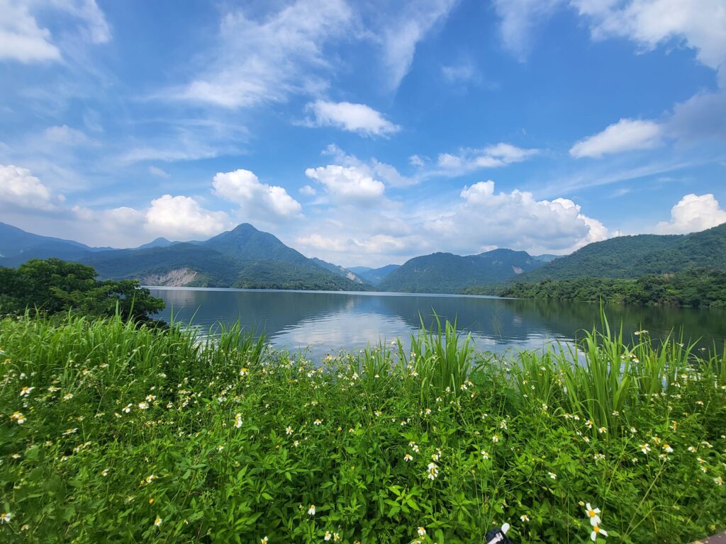
With the three climbing sections, there is just over 1,900m of ascent over a distance of 90km. The best thing about the road is the numerous locations with great views of the reservoir.
This approach is from Qishan, Kaohsiung, a fairly major town with lots of accommodation and food options. If the rider starts from a transport hub Tainan is approx 25km to the west and Kaohsiung is 40km to the south.
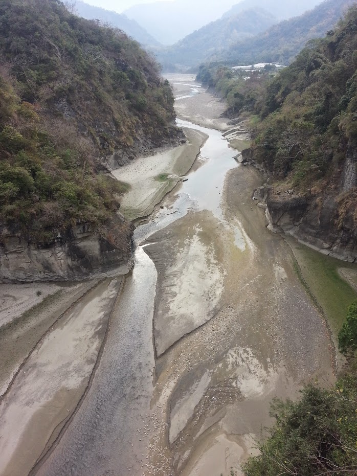
Qishan is at the 405km marker on the No. 3 and straight away the rider is on a gentle slope up for the first of 5 humps with approx’ 300m of ascent. After the first 20km, there is a 15km stretch of flat road to the town of Nanxi. There are 7-11s here to stock up and some small restaurants.
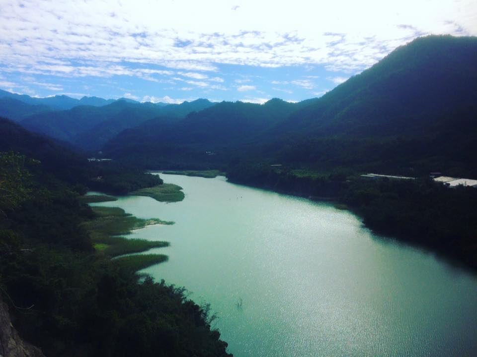
At this point, the second set of humps starts 4 – 5 rollers that will ascend an additional 3 – 400m. The road narrows down to two lanes and is heavily forested offering the rider plenty of shade on a hot day.
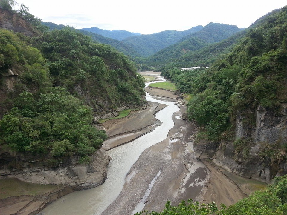
The next stop and only 7-11 is at the town of Dapu, located at the 336km marker. There are several restaurant and accommodation options here. Once the rider rolls out from Dapu it’s just a few kms up the road before the major climb starts.
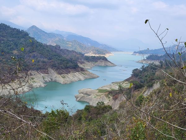
This is a steady climb up to just over 900m to where the road tops out at the 313km marker. At the 312km marker, there is a rest stop for refreshments and a viewing platform looking down on Zengwen Reservoir – the largest in the country.
The rider should be aware that this road is very popular with big bike riders on weekends, but during the week it is quiet.
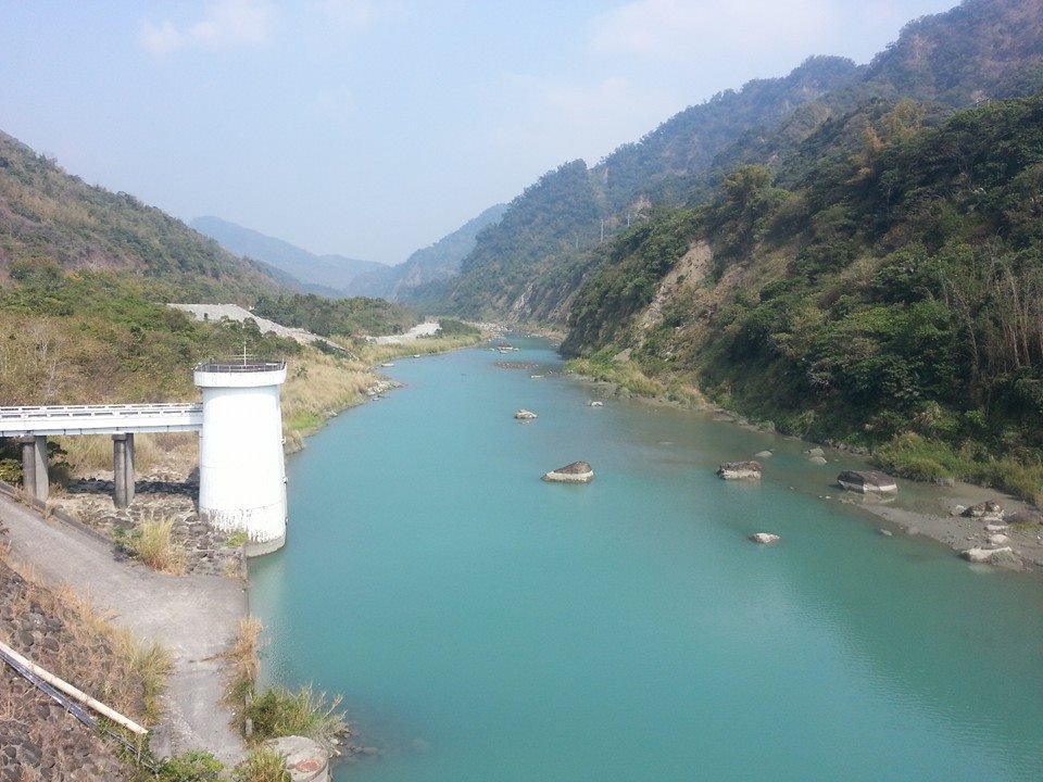
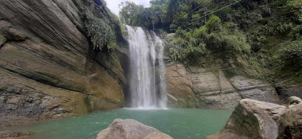
Featured in the photos with this piece is Cingyun waterfall (青雲瀑布). Very near the intersection of the No. 129 road where it meets the No. 3 (332km marker) coming down from Chashan (茶山). A short side trip worth taking on a hot day for a quick dip.
The water level in the Zengwen Reservoir is looking pretty low.
The water level at Zengwen is now 100% which is probably the first time it’s been full in a few years.