Location: Taitung
Distance: 22km Elevation Gain: 1,400m
As the name Daylily Mountain (金針山) suggests, this area is known for the lilies which cover the hillside during the Spring and Summer. Visitors from all over Taiwan come to see the white lilies which bloom from April to May, and the golden lilies which can be seen between July and August. While primarily a tourist destination for Instagram photo seekers, this is also one of Taiwan’s best road bike climbs, and one of many reasons for cyclists to head to Taitung County.
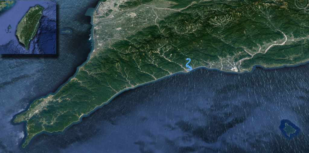
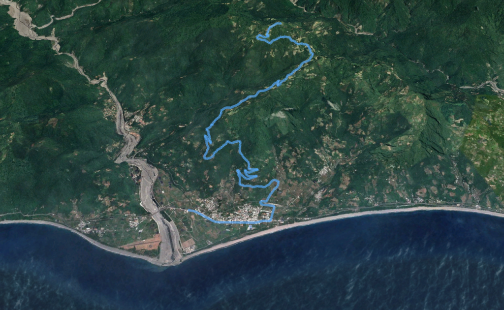
Located in Taimali Township, in the South East corner of Taitung County, this climb begins at the Pacific Ocean and reaches a maximum elevation of 1340m. If starting from Taitung station, a round trip to the summit and back will involve 100km and 1600m of climbing. Cyclists completing this ride outside the lily viewing period will be rewarded with empty, peaceful roads.
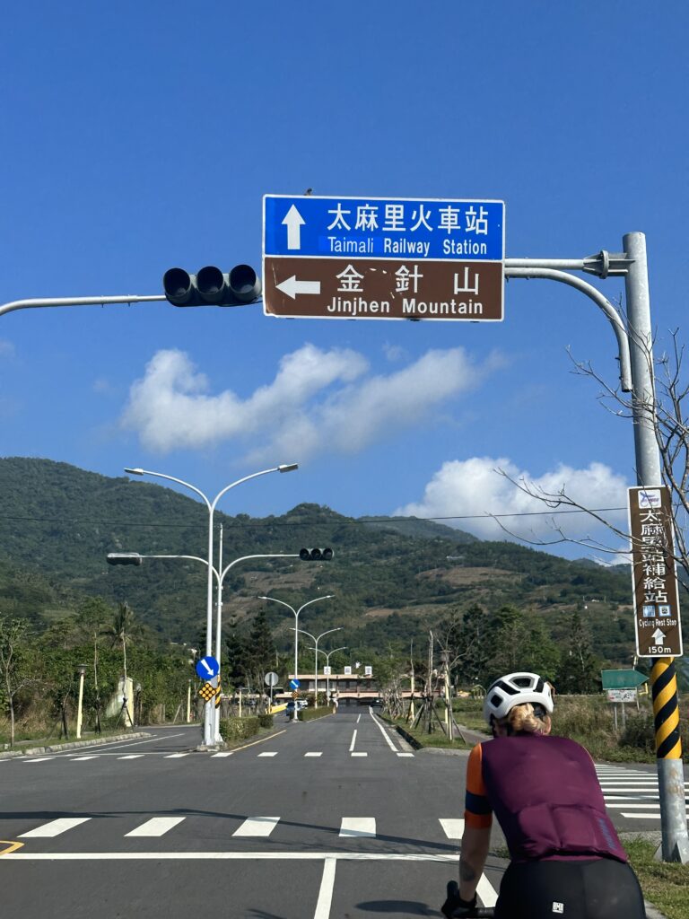
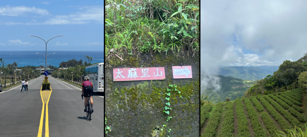
Once out of Taitung, head south on the #9 South Link Highway, and follow signs to Taimali train station. You’ve gone too far if you see a large cat holding a sugar apple. Take a right turn off #9 toward the 東63. Anyone who follows the East Coast National Scenic Area on social media will immediately recognize this road. Arriving at Taimali station there will be hordes of people taking photos of the long straight road which seemingly flows into the ocean. Turning left before entering the station will lead you to Jialun Industrial Road, and on your way to Taimali and Daylily Mountains.

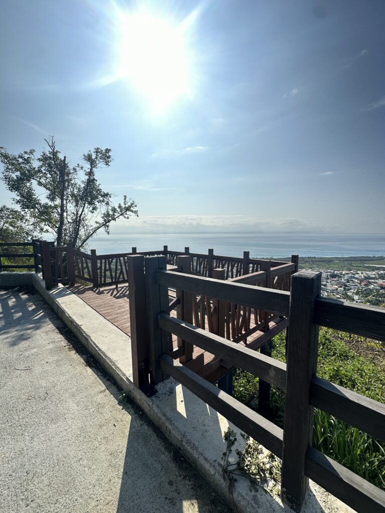
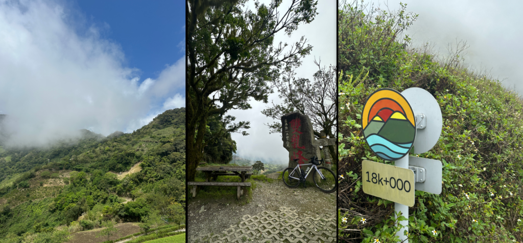
The first part of this climb involves a ramp up the coastal mountain ridge, where you will be treated to some amazing views of Taimali, Jinfeng, and the famous east coast sunrise over the Pacific Ocean. You will begin to see your first decorative road signs which mark the ascent to the peak, the final destination is just past the 18 km road marker.
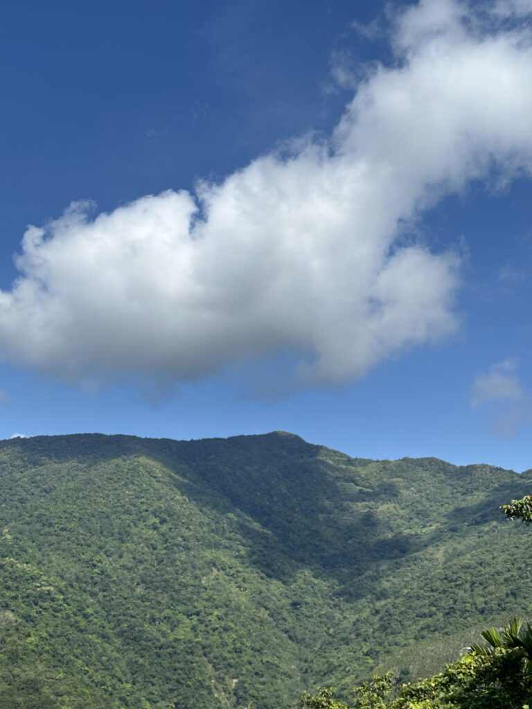
As the road wraps away from the coast, the second stage of this climb begins around 500m of elevation as you reach the north-facing ridge and begin to get views of the central mountain range. This is where the name Daylily Mountain will start to make sense as there are cafes, B&Bs, and a hiking area that advertise eating, drinking, and viewing the famous lilies. There are some great cafes to stop at where riders can buy peanuts, coffee, and lily tea, all of which will be grown right on the very mountainside you ascend. A truly immersive experience!
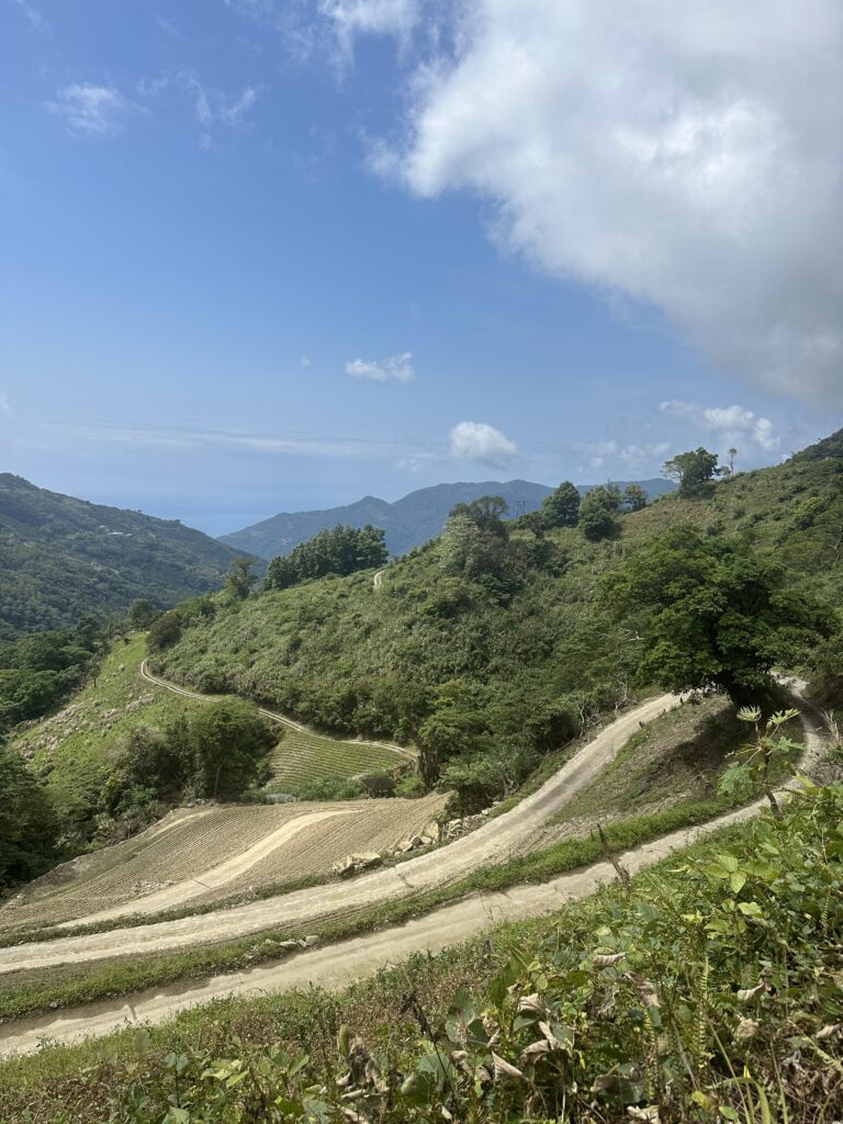
Up until the 12 km road marker the road surface is perfect, after this things start to get bumpy and steep. Heading left at the fork in the road at the 13km marker and following signs for Taimalishan (太麻里山) will bring you to the final and most difficult stage of this climb. While there is nothing some 28mm tyres can’t handle, conditions are challenging. The final 5km push involves some out-of-the-saddle sections of 15-22% gradients. With the right gearing, and possibly a pocket full of Haribo gummies, making it to the summit is achievable for most.
Those who reach the top will be rewarded with some spectacular views of the central mountain range. There are two pagodas that can be walked up to for better views and there is a “European” style toilet to be used by the less modest cyclists. Keep your eyes out for Serpent Eagles and Formosan Muntjacs as this area is rich with local wildlife. Regardless of the season, best to bring a jacket for the descent as even on the clearest days, Taimalishan seems to attract a range of weather conditions.
This climb offers something for everyone; beautiful ocean and mountain views, Instagrammable photo spots, peaceful roads, cafes, and a chance to see plenty of endemic wildlife. Stop and purchase a bag of dried lilies on the way down for your friends!
Here are the GPX and KML files.
Great stuff. A mention of Taimali Mt. , a Small 100 Peak, would have been the icing on the cake. Not to worry, it can be added later on.